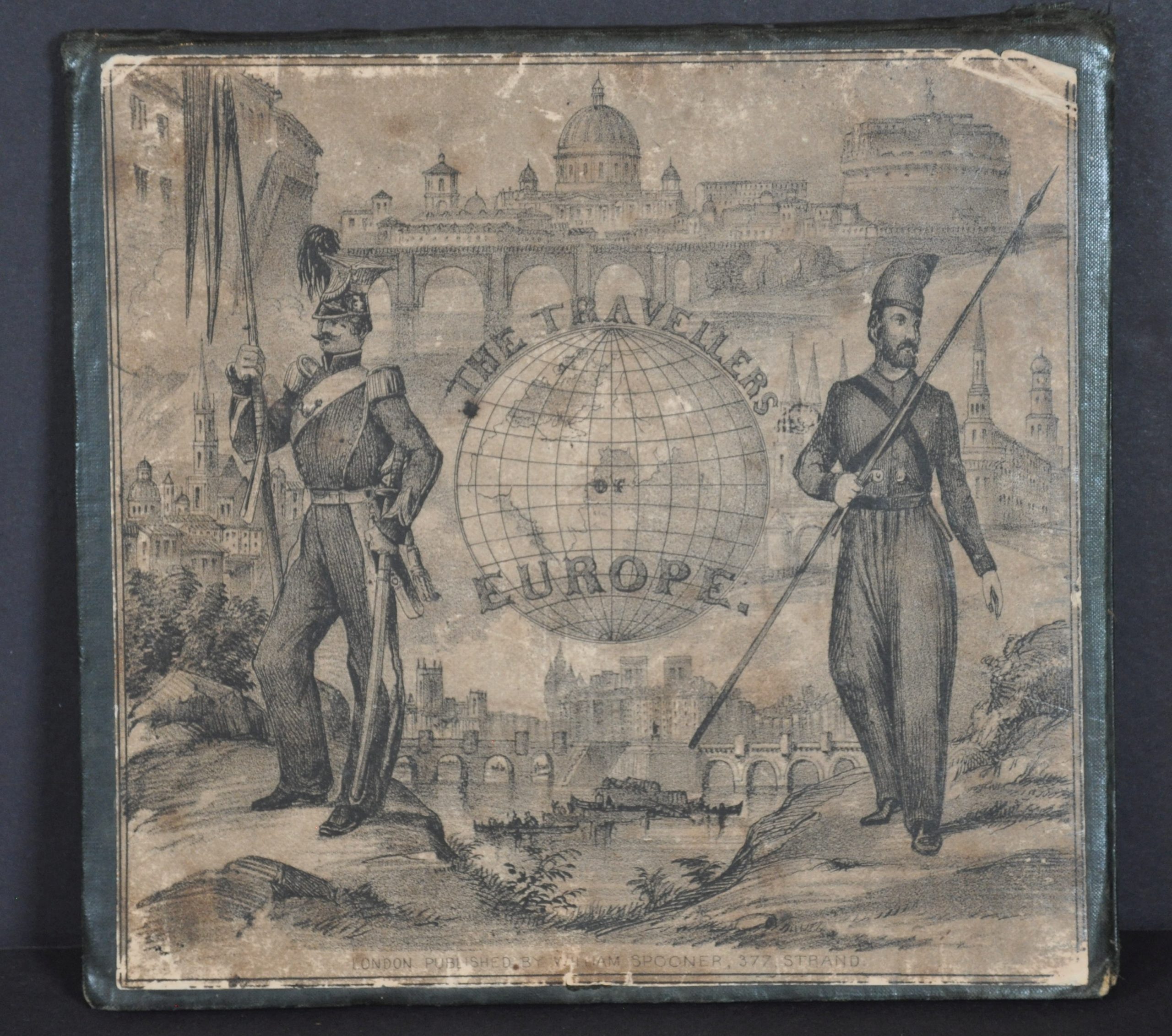
The Travellers; Or, A Tour Through Europe.
$500.00
Take a tour through Europe during Pax Britannica and the beginning of the Victorian Era.
1 in stock

Description
This vibrant pictorial map of Europe was published in 1842 as the centerpiece of a board game in which players travel around the continent. According to the Victoria & Albert Museum, one of five nations are represented – Austria, Sweden, Russia, Prussia, and England. France is amusingly omitted by the British publisher.
Movement is determined by spinning a teetotum (not included) that determines distance and direction, with several spots noting penalties or bonus spaces. Along the route, dozens of illustrated scenes showcase the monumental architecture, iconic features, and exotic dangers of faraway lands. Examples of the last category include a Finlander attacking a bear, the perils of the Whale Fishery, and sledding down ice mountains.
This is the first edition of the map, lithographed by W. Clerk and published by William Spooner in 1842. At least five different editions followed until the early 1850s. All are uncommon, especially so in their original case. Four examples of this edition are noted in OCLC as of June 2024, at the National Library of Scotland, the Boston Public Library, the British Library, and the University of Cambridge. OCLC# 557345710.
Map Details
Publication Date: 1842
Author: William Spooner
Sheet Width (in): 25
Sheet Height (in): 19.9
Condition: B+
Condition Description: Dissected into 12 panels and mounted on linen, which folds into original blue cloth boards with a paper label. Scattered spotting throughout the image, concentrated most heavily in the upper left (below the title) and lower left (off the coast of Tunis). The paper is curling in a few spots along the seams and there is moderate soiling in the margins. About good condition overall.
$500.00
1 in stock