The Russian Empire
The incredible geographic extent of the Russian Empire in the mid-18th century
Out of stock
Description
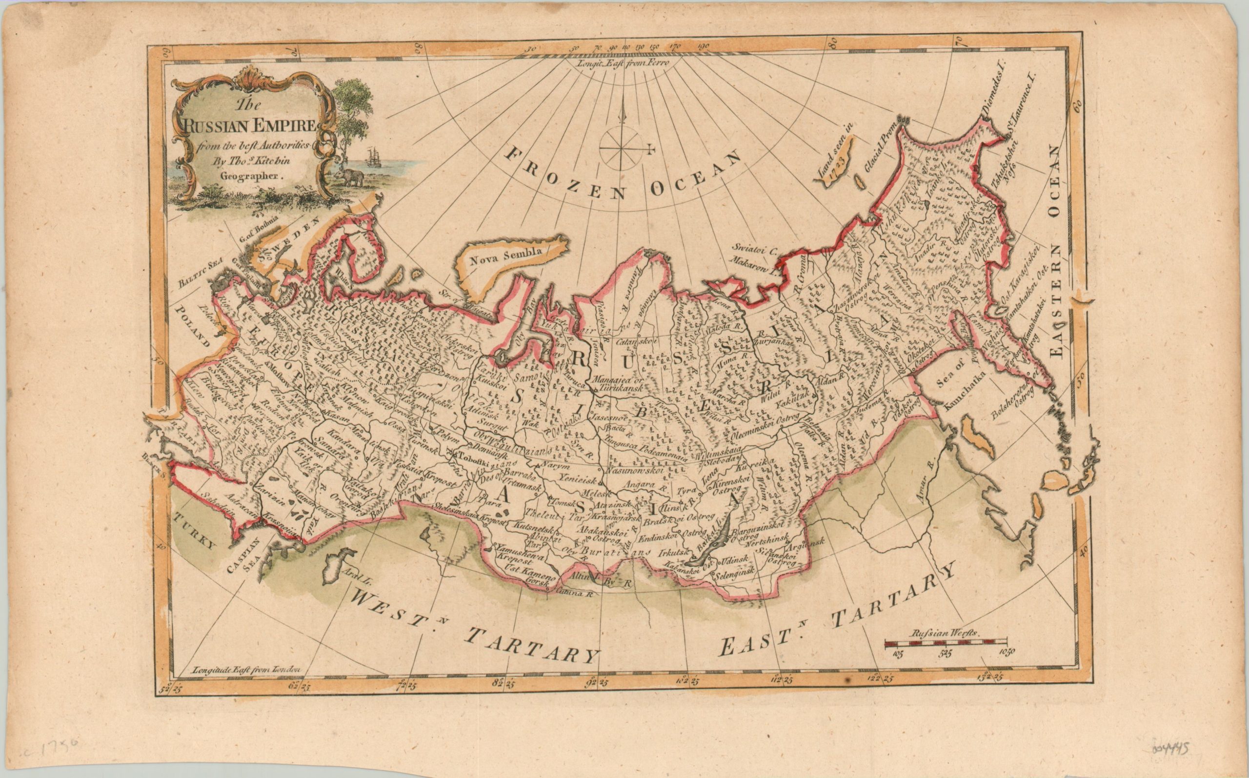
This attractive map of the Russian Empire was created in London by Thomas Kitchin around 1750. It shows the expansive territory, established just a few decades prior by Peter the Great, stretching from the Pacific Ocean to Scandinavia and Poland, with the new capital at St. Petersburg prominently noted on the Gulf of Finland.
Other settlements, geographic features, and regions are also labeled throughout. A large ‘Frozen Ocean’ in the north contains a compass rose and speculative coastline seen in 1723.
Map Details
Publication Date: c. 1750
Author: Thomas Kitchin
Sheet Width (in): 13.4
Sheet Height (in): 8.4
Condition: B+
Condition Description: Moderately soiled in the upper margin. The sheet has an uneven lower edge where previously bound. Good to very good condition, with attractive modern hand color.
Out of stock