
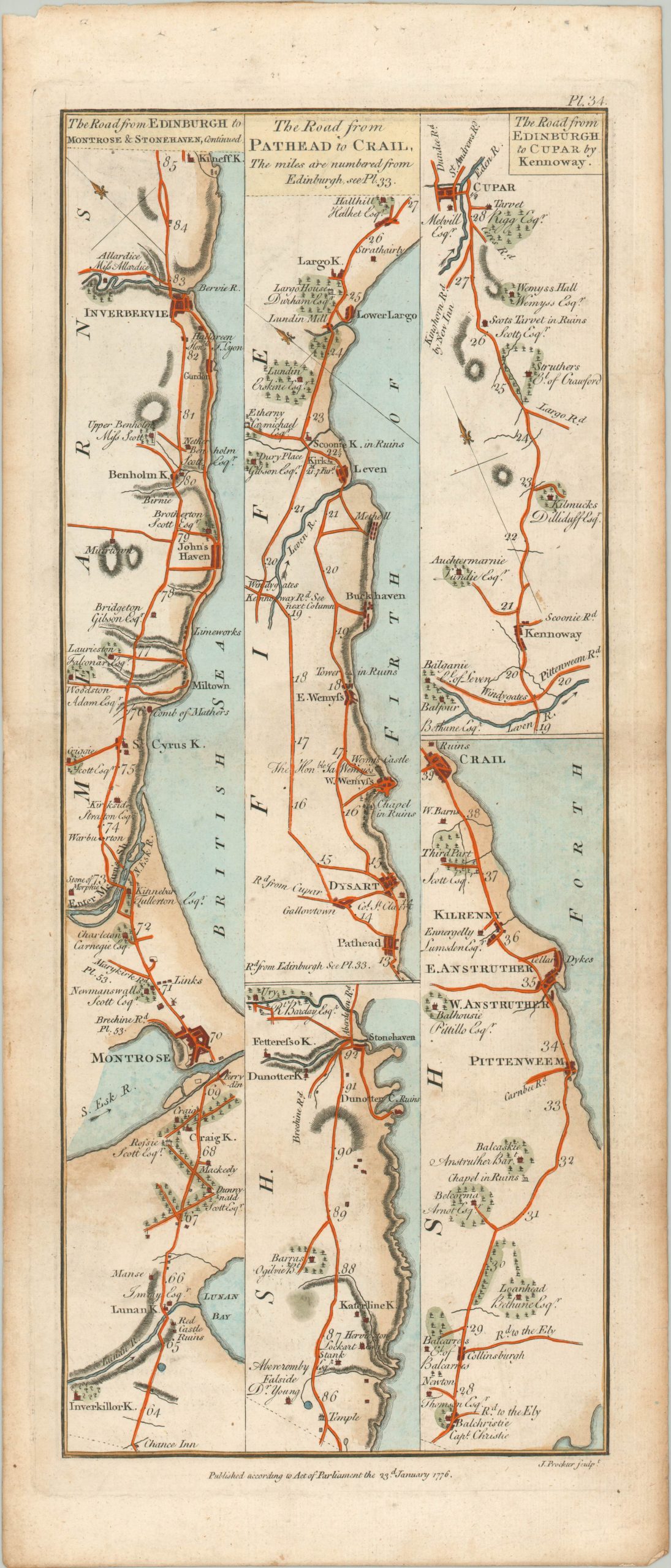
The Road from Edinburgh to Dundee, Aberbrothick, Montrose, Inverbervie, & Stonehaven.
$150.00
The road from Edinburgh to various points across Scotland, at least to a traveler from the late 18th century.
1 in stock

Description
This double sided strip map was published in London in 1776 as plate 33 in George Taylor and Andrew Skinner’s ‘Survey and maps of the roads of North Britain or Scotland.’ The image shows a number of roads emanating from Scotland’s capital to various points across the country.
Each ‘strip’ is shown in mile-long increments, with pictorial representations of locations of interest, hills, settlements, and other geographic features. An accompanying compass helps the traveler orient themselves from point to point, while labeled cross-roads indicate secondary locations accessible along the various routes.
Map Details
Publication Date: 1776
Author: George Taylor and Andrew Skinner
Sheet Width (in): 8.70
Sheet Height (in): 20.40
Condition: A-
Condition Description: Double sided road map in a custom windowed frame. A bit of faint toning and a few small spots confined to the margin, consistent with age. Very good overall.
$150.00
1 in stock