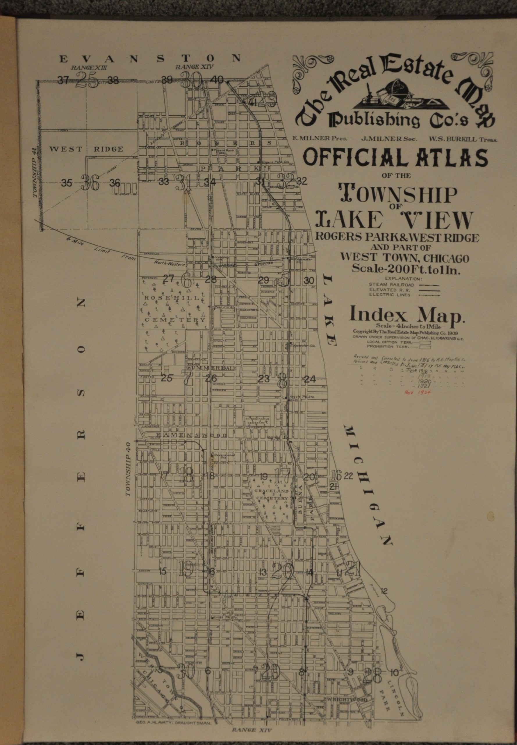
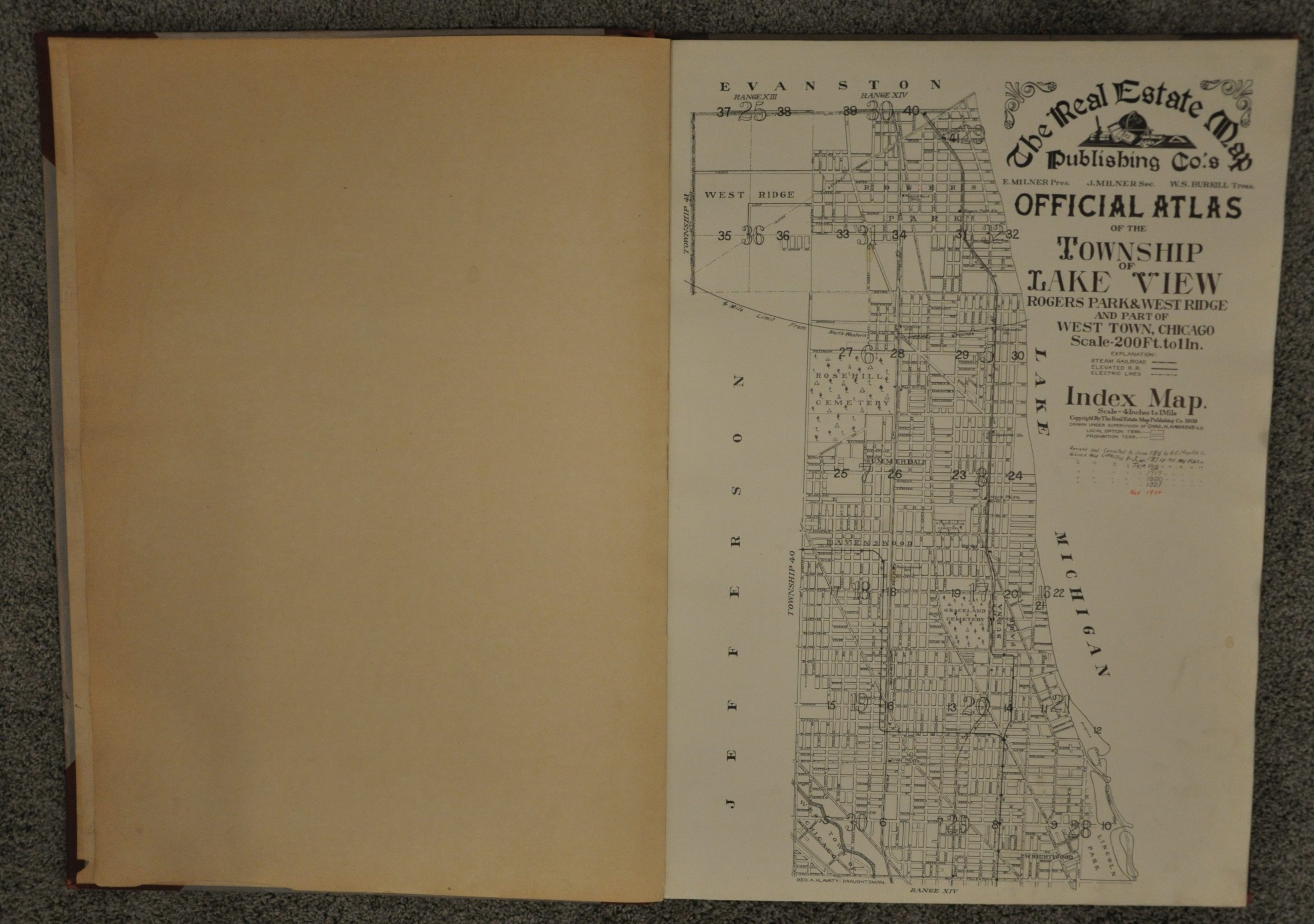
The Real Estate Map Publishing Co.’s Official Atlas of the Township of Lake View Rogers Park & West Ridge and Part of West Town, Chicago
$850.00
Early 20th century real estate atlas of Lake View, Lincoln Park, Edgewater and Rogers Park.

Description
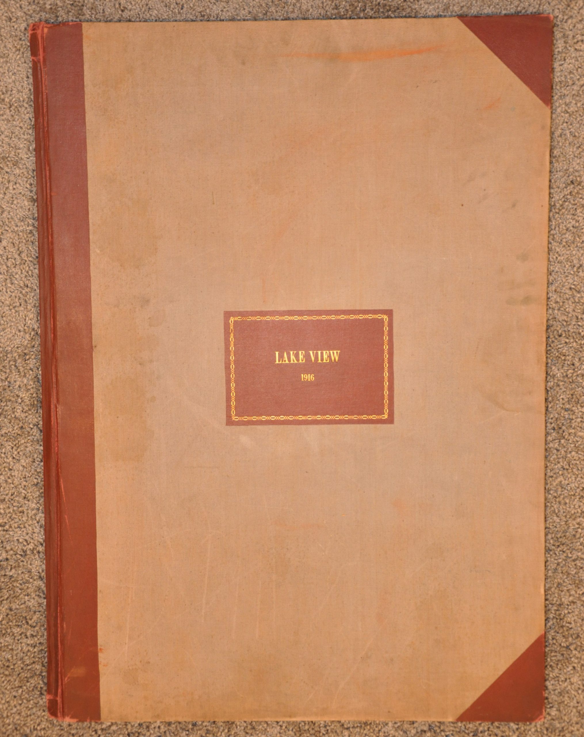
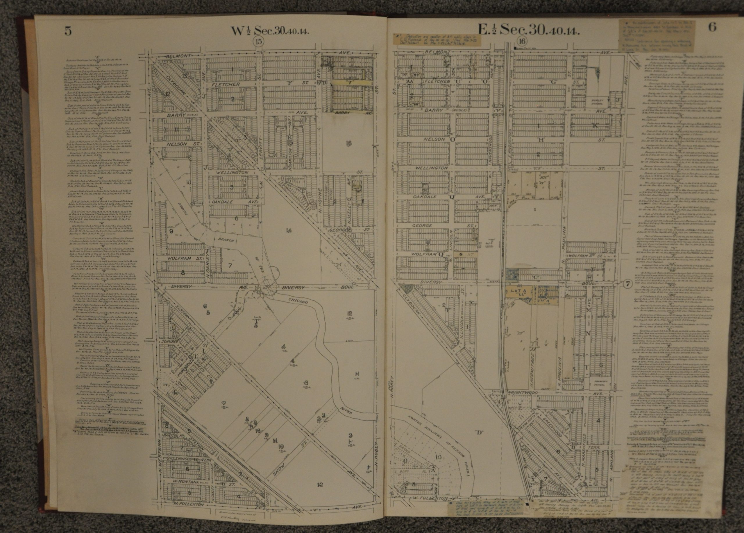
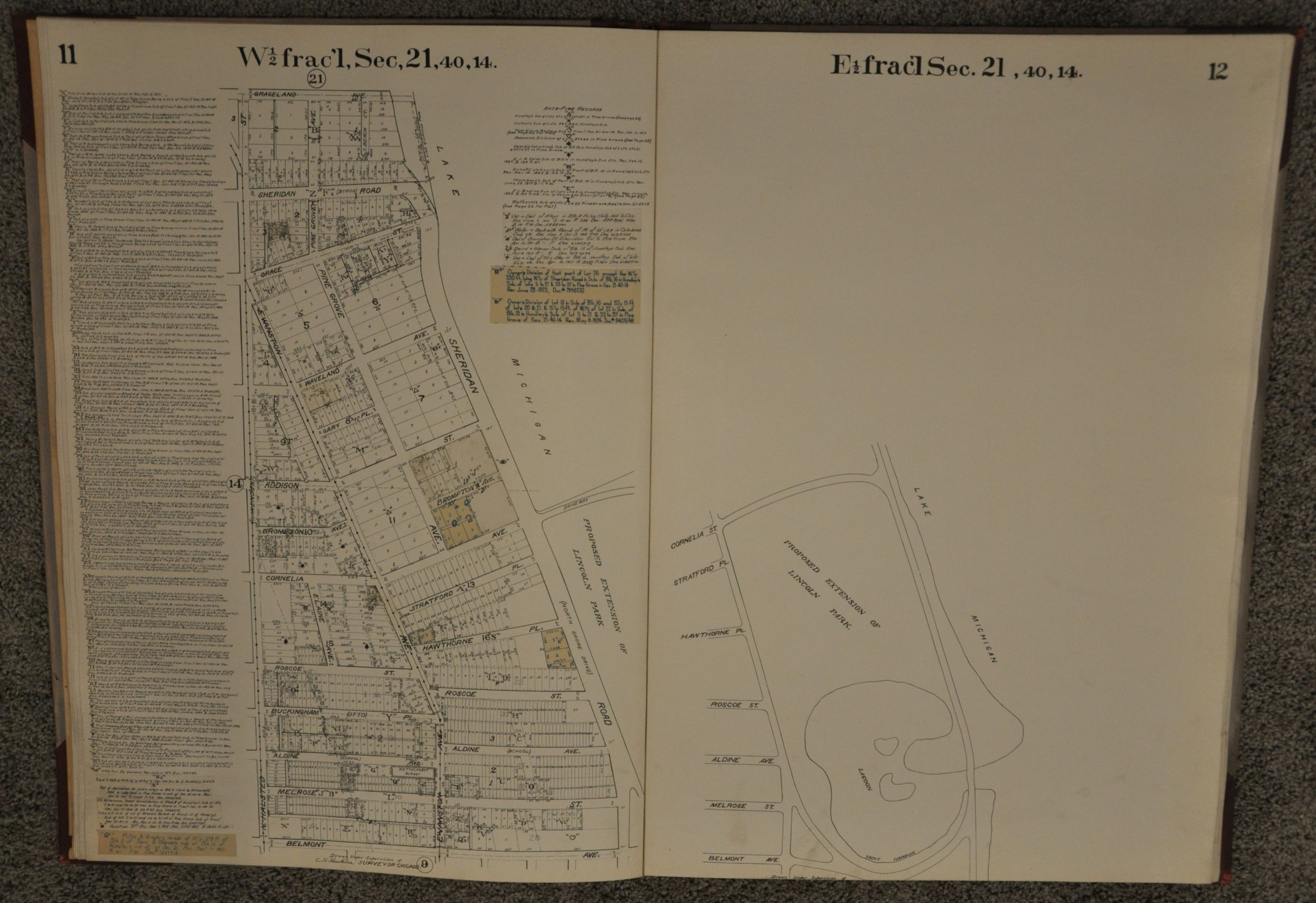
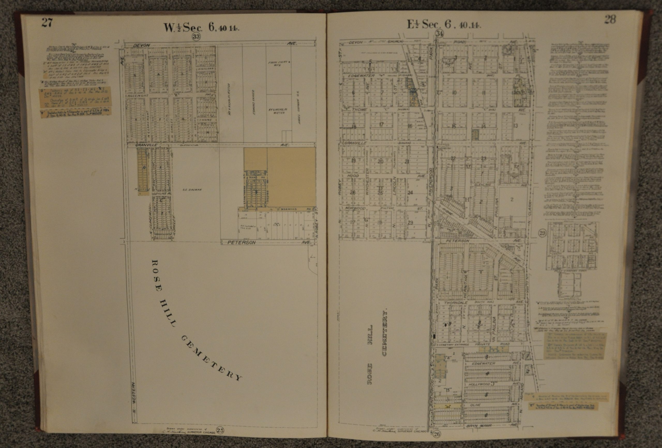
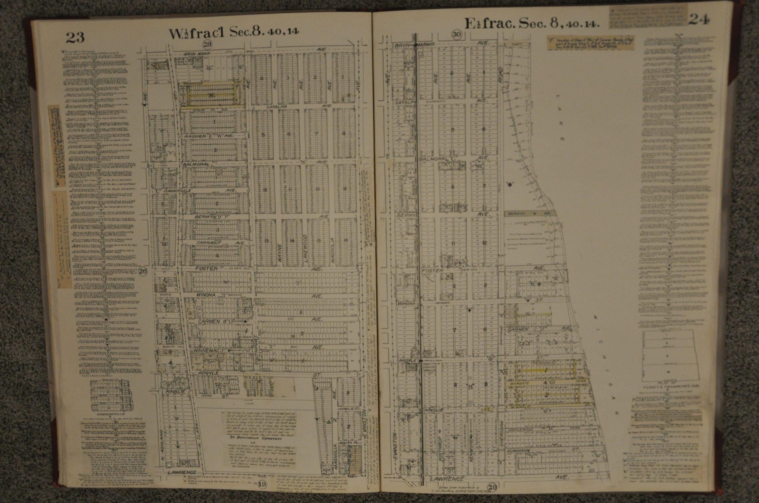
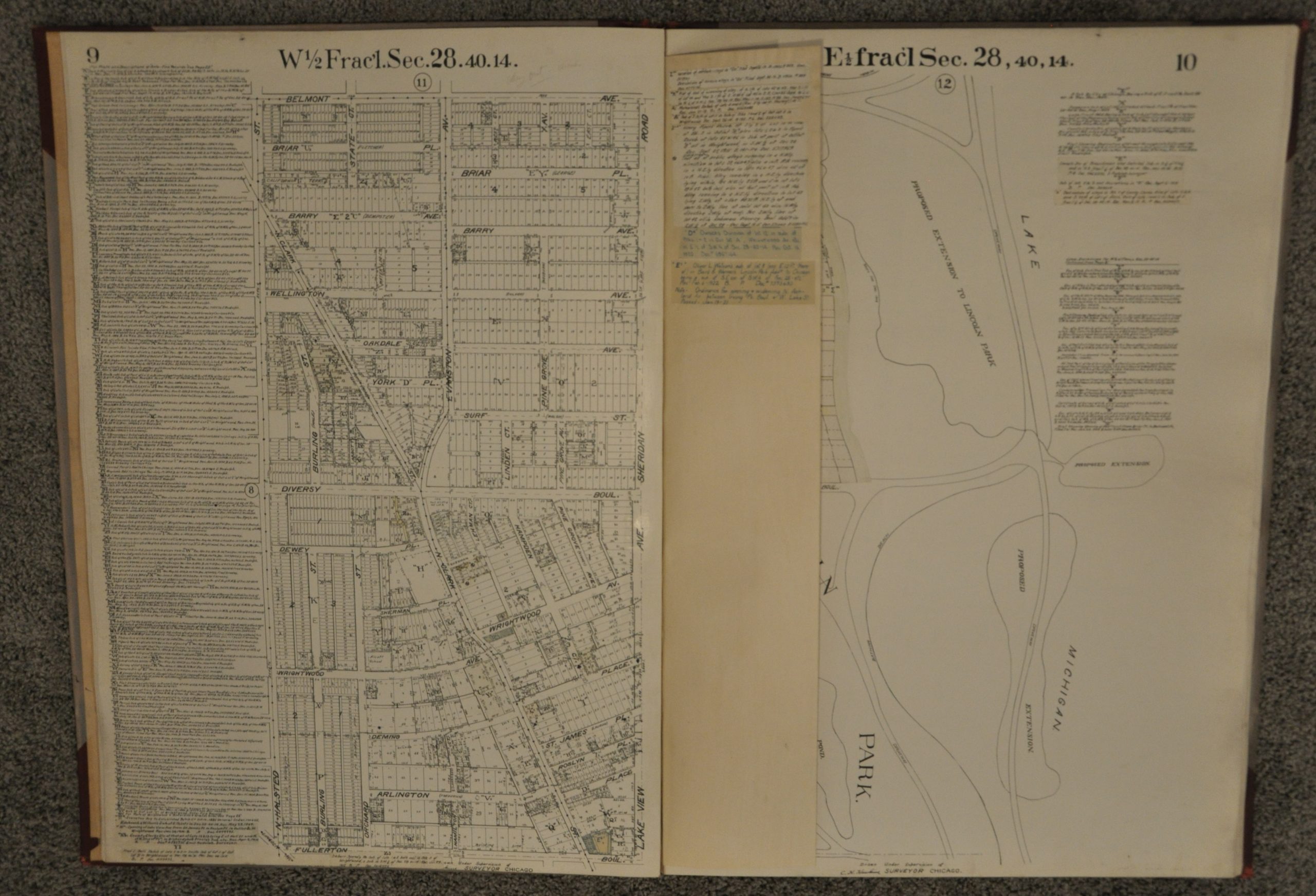
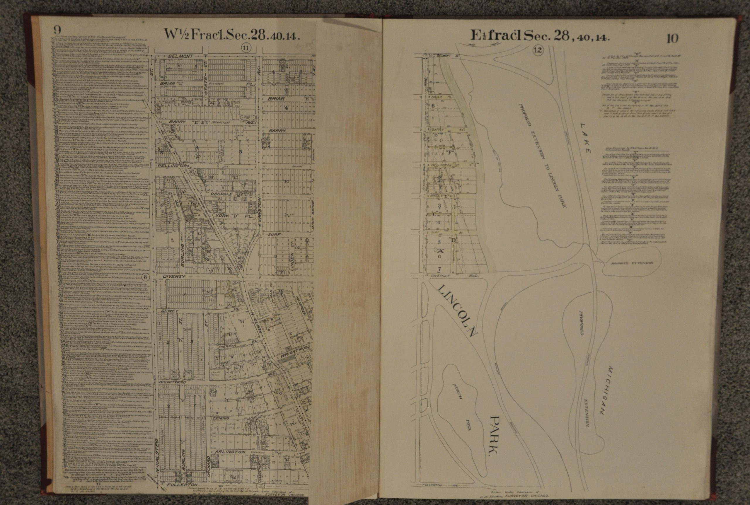
This atlas covering areas of Chicago along Lake Michigan between Fullerton Avenue and Howard Street was originally published in 1909 by the Real Estate Map Publishing Company. (The atlas was likely bound separately in 1916, as indicated on the front cover). It shows the city inland as far as Western Avenue at a scale of 200 feet to the inch, allowing for an incredible amount of detail to be provided for each individual piece of property.
In addition to plot size and land ownership, each map includes information on transportation lines, water mains, sewer systems and public spaces. Most sheets contain numerous manuscript updates reflecting changes in land ownership or local ordnances up to 1924. These paste-downs are a fascinating reminder of the practical use of atlases such as this, especially by real estate, insurance and title companies. They are exceedingly rare outside of institutions as a result, due to their heavy use and often confidential real estate data.
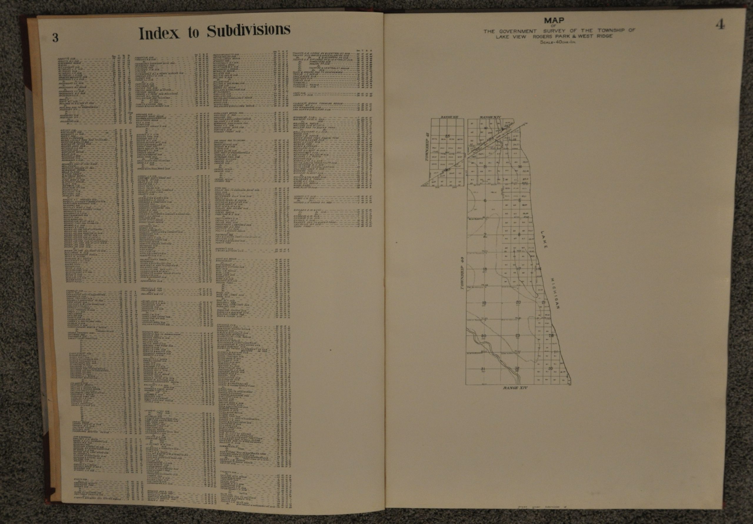
The atlas also includes an index map, survey map, list of subdivisions and diagram showing a proposed extension to Lincoln Park. Interestingly, the index map contains a key for areas where alcohol is prohibited vs. the “local option.” Though the map is not colored accordingly, it’s a poignant reminder of the ongoing temperance movements throughout the city at the time.
The maps were drawn by George A. Hlavaty under the supervision of Chief Engineer Chas. H. Hawkins and published in Chicago by The Real Estate Map Publishing Company.
Map Details
Publication Date: 1909
Author: George Hlavaty
Sheet Width (in): 21.5
Sheet Height (in): 30
Condition: A-
Condition Description: Overall, the atlas is in very good to excellent condition. Bound in original grey cloth with red gilt label. Covers in good shape, with a few spots slightly rubbed. Previous owner and binding stamp present on endpapers. Complete, with 43 single page black & white maps. Maps are clean with a few spots of soiling and faint discoloration confined largely to the margins where the pages were turned.
$850.00