
The Rand McNally New Library Atlas Map of the Netherlands Belgium and Luxembourg
$95.00
Mapping the outbreak of World War I.
1 in stock
Description
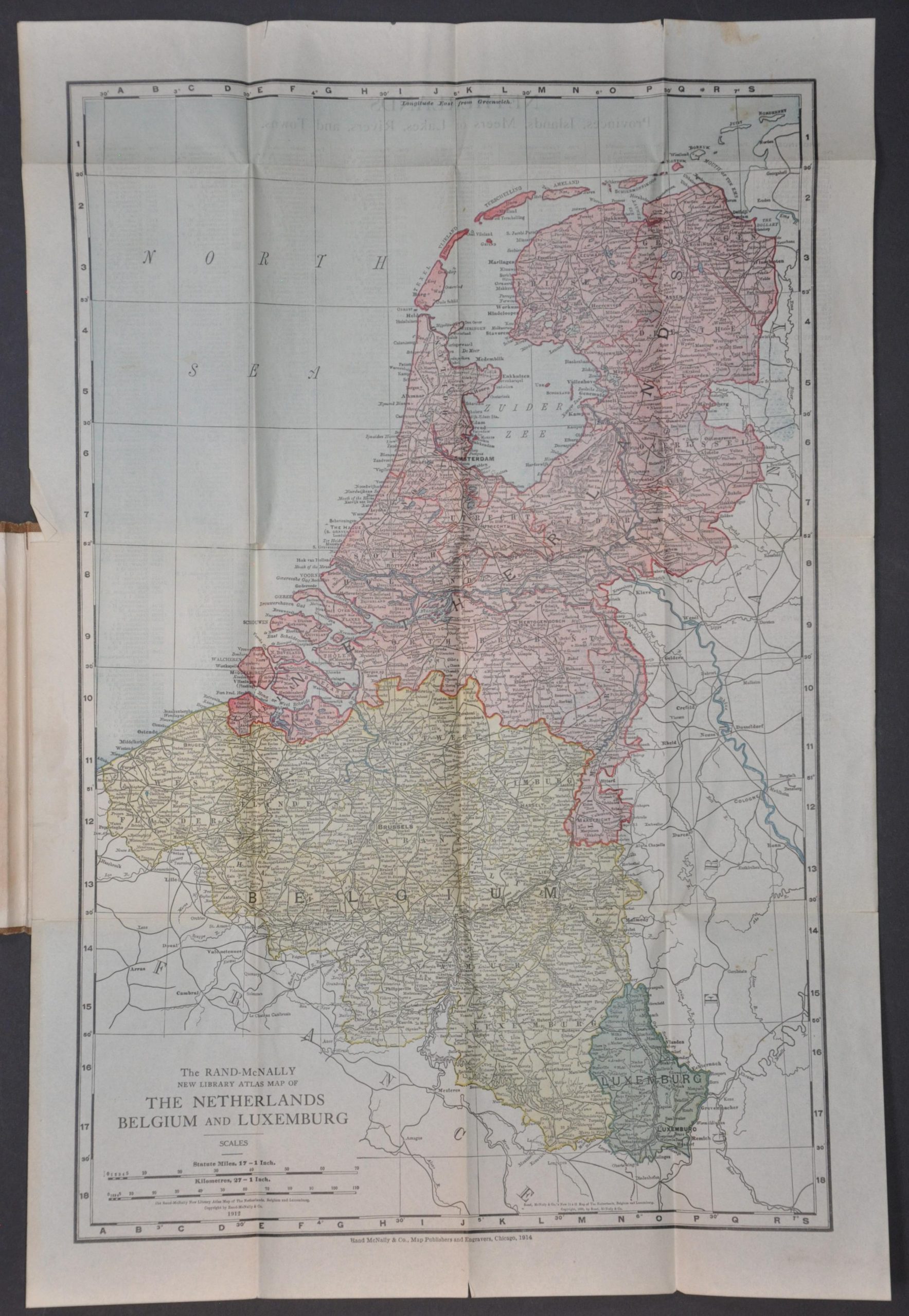
This detailed map of the Low Countries outlines the critical theater of conflict during the opening months of World War I. The nations of the Netherlands, Belgium, and Luxembourg are distinctly colored in red, yellow, and green, respectively. Local railroad networks are highlighted, and scores of toponyms identify a fascinating variety of settlements, geographic features, and historic sites – allowing an American reader to closely track the rapidly unfolding military actions overseas.
Published in 1914 by Rand McNally & Company of Chicago, the map features a telling series of dates that reveal its hasty production history. The sheet carries two prior copyright dates, 1895 and 1912, while the lower margin indicates this specific example was printed in 1914. This chronological gap suggests the map was hurriedly reissued immediately following the outbreak of hostilities in August 1914, allowing Rand McNally to capitalize on an American public eager to orient themselves with the geography of the emerging Western Front. An index of place names is provided on the verso, providing a handy reference when reading newspapers or listening to radio broadcasts.
Map Details
Publication Date: 1914
Author: Rand McNally & Company
Sheet Width (in):
Sheet Height (in):
Condition: B+
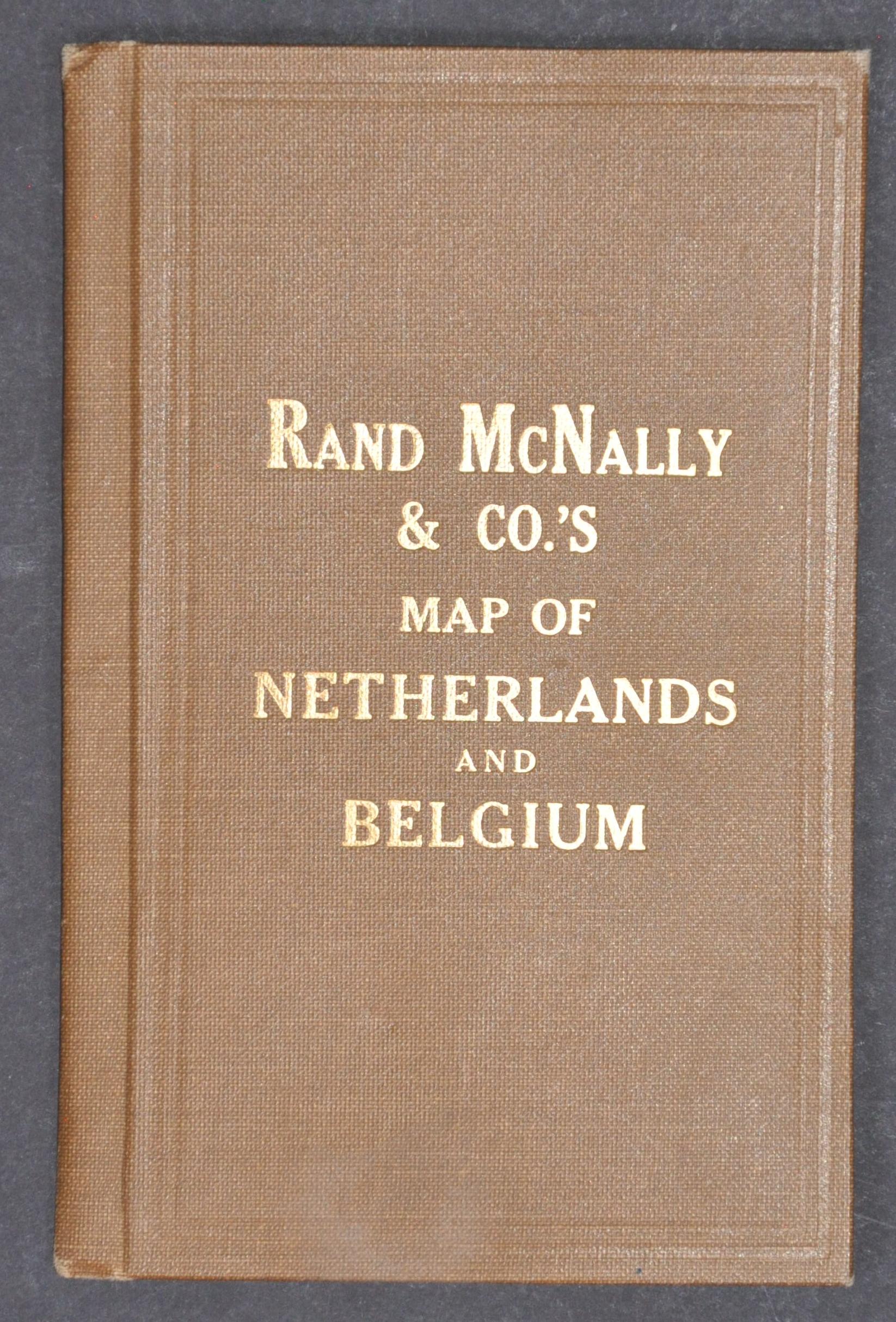
Condition Description: Color printed map on a single-sided sheet, affixed to original brown cloth boards. Moderate wear along folds, including separation at intersections and a few small splits repairs on the verso with archival tape. A small stain in the upper left margin and a handful of small marginal tears (also repairs).
$95.00
1 in stock