
The Rand McNally New Library Atlas Map of German Empire
$295.00
The ‘Second Reich’, just a few years before the outbreak of war.
1 in stock


Description
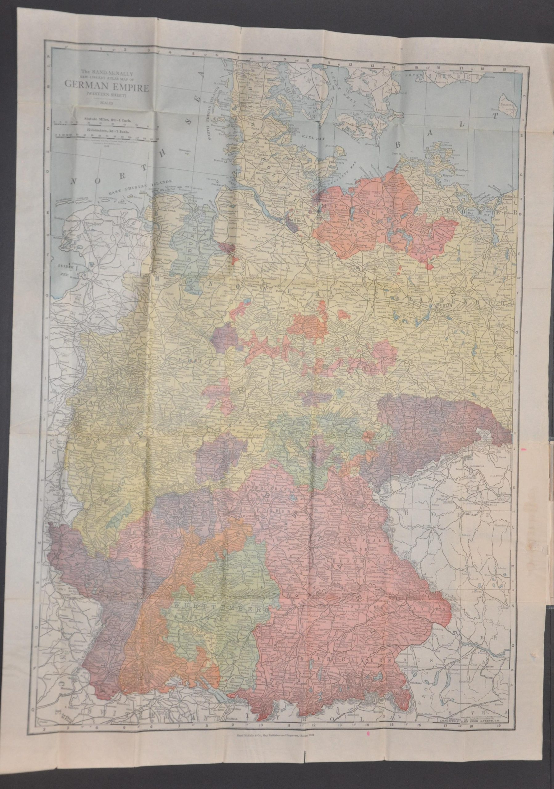
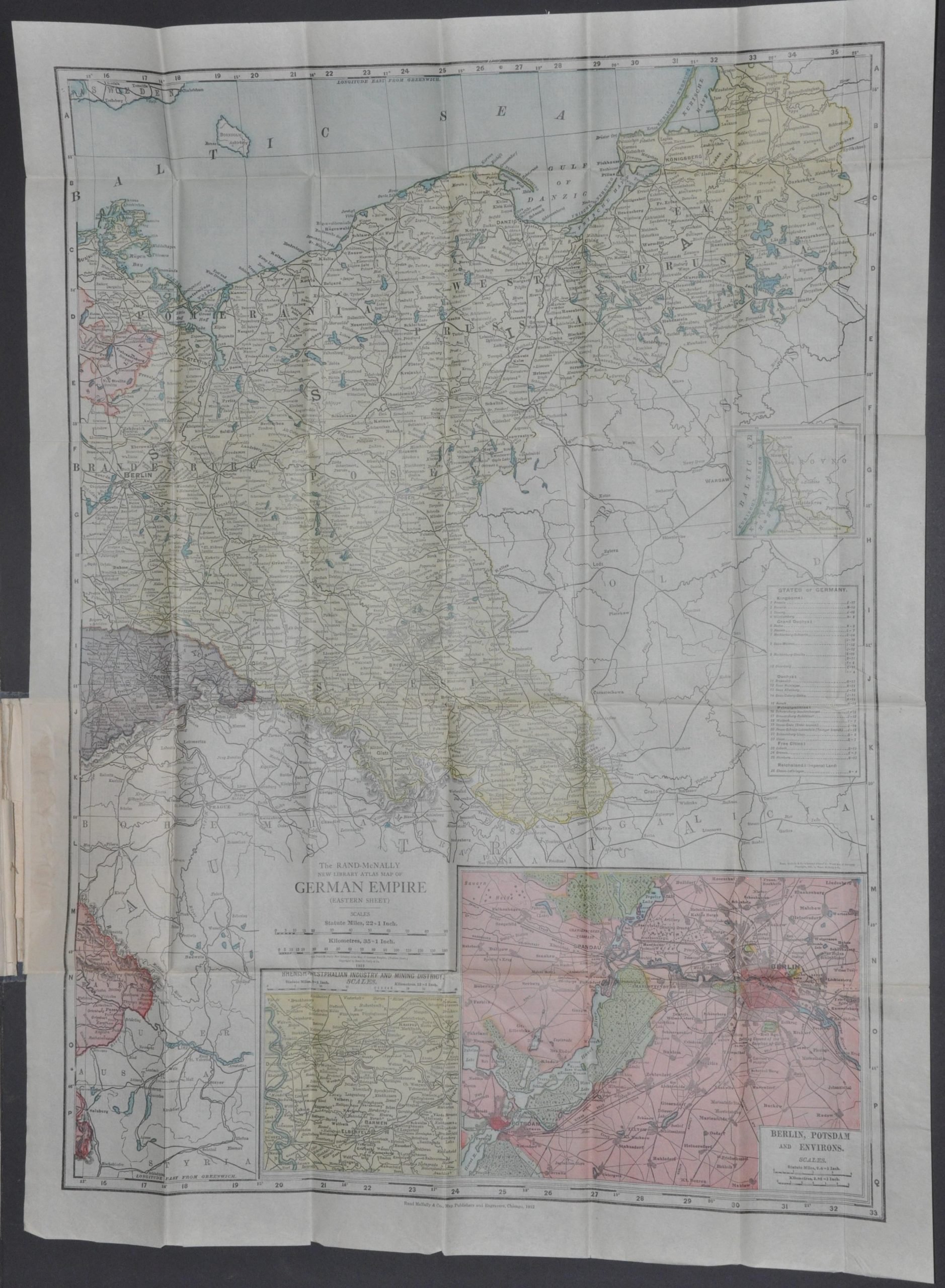
This large, vibrantly lithographed map of the German Empire was designed, printed, and published in Chicago by Rand McNally in 1912. The pair of images shows the massive Second Reich, stretching from the (formerly French) provinces of Alsace-Lorraine in the west to Schlweig-Holstein in the north and East Prussia on the border with the Russian Empire.
Despite the size, German fear of encirclement between the French and Russians would contribute directly to the outbreak of war in just a few years. Each German state (26 in total) is individually colored and identified in a small key on the center-right (right page). The railroad network is boldly emphasized and a variety of cities, geographic features, resort towns, and other locations of interest are labeled.
Inset maps show the area around Berlin and Potsdam, as well as the Rhine-Ruhr industrial region. Of note is the massive Krupp gun works – its foundries would produce many of the weapons of war using in the impending conflict.
Map Details
Publication Date: 1912
Author: Rand McNally
Sheet Width (in): See Description
Sheet Height (in): See Description
Condition: B+
Condition Description: Two folding maps, each approximately 21" x 28", folded and bounded into original blue cloth covered boards with gilt embossed title. The spine is worn and covers are lightly scuffed. Crisp creasing along originally issued fold lines and some separation at fold intersections. The left sheet has about 10" cumulatively that has been repaired with archival tape on the verso, the right sheet just has a few small holes at fold intersections. Some light discoloration from the glue used to affix the maps to the boards. Good to very good condition overall.
$295.00
1 in stock