
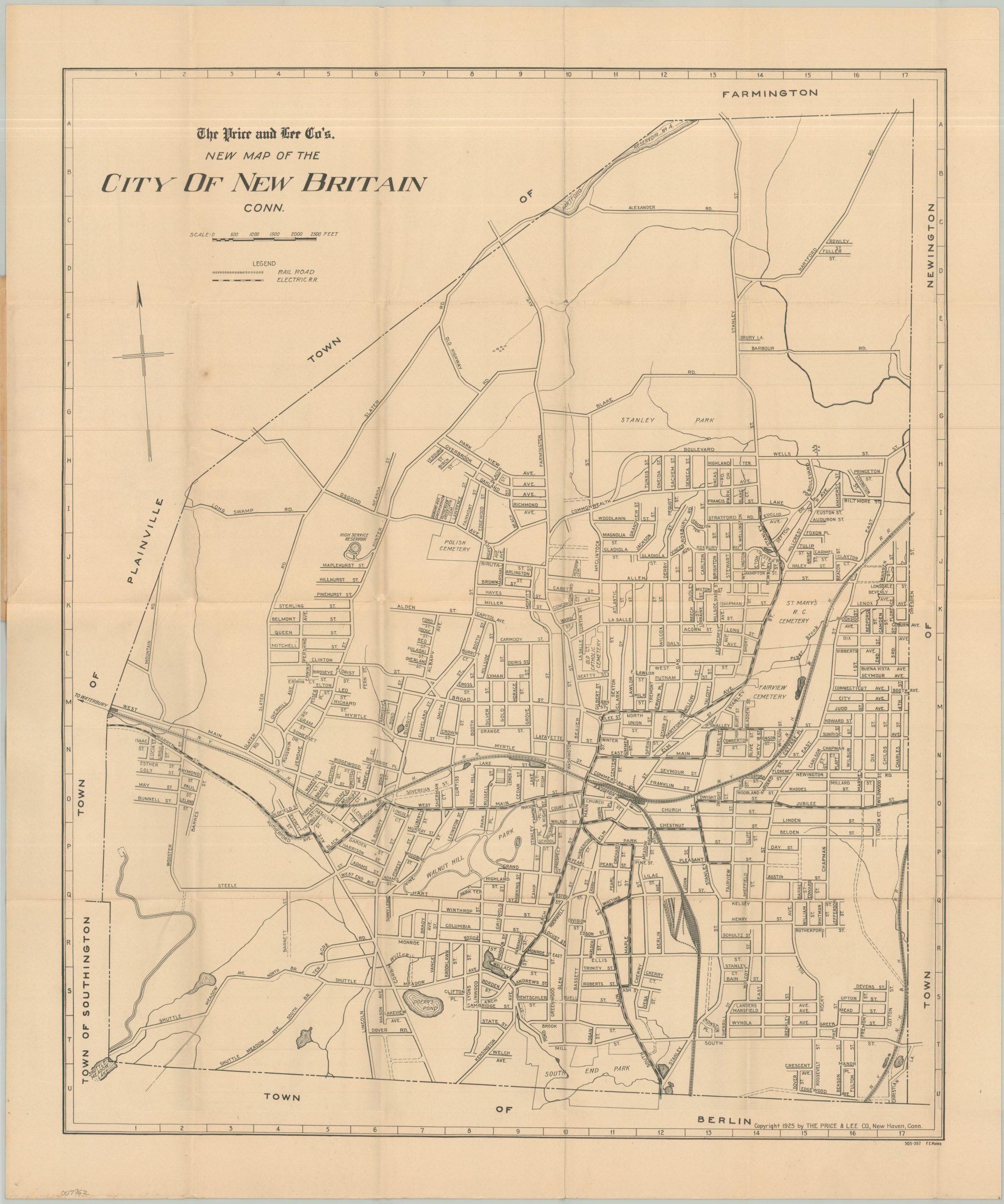
The Price and Lee Co.’s New Map of the City of New Britain, Conn.
$95.00
New Britain, Connecticut near its industrial height.
1 in stock
Description
This straightforward street plan of New Britain, Connecticut, was published in nearby New Haven in 1925 by the Price & Lee Company. Streetcars and steam railroads are noted throughout the image, in addition to cemeteries, parks, and adjacent towns.
The map is affixed to the back of the Red Arrow Guide, a 12-page booklet that includes a street index, a list of locations of interest, streetcar routes, and advertisements for the publishers. “The little book that saves leather and gasoline mileage.”
Map Details
Publication Date: 1925
Author: The Price & Lee Company
Sheet Width (in): 18.75
Sheet Height (in): 22.75
Condition: A-
Condition Description: Large folding map (size given) folded and affixed to the back cover of a 12 pp. guidebook with stapled binding and original red paper wraps. The sheet is lightly toned and a bit wrinkled, but overall in very good condition.
$95.00
1 in stock