
The Port of Chicago, Illinois
$195.00
Chicago’s river and lakefront on the eve of World War II.
1 in stock
Description
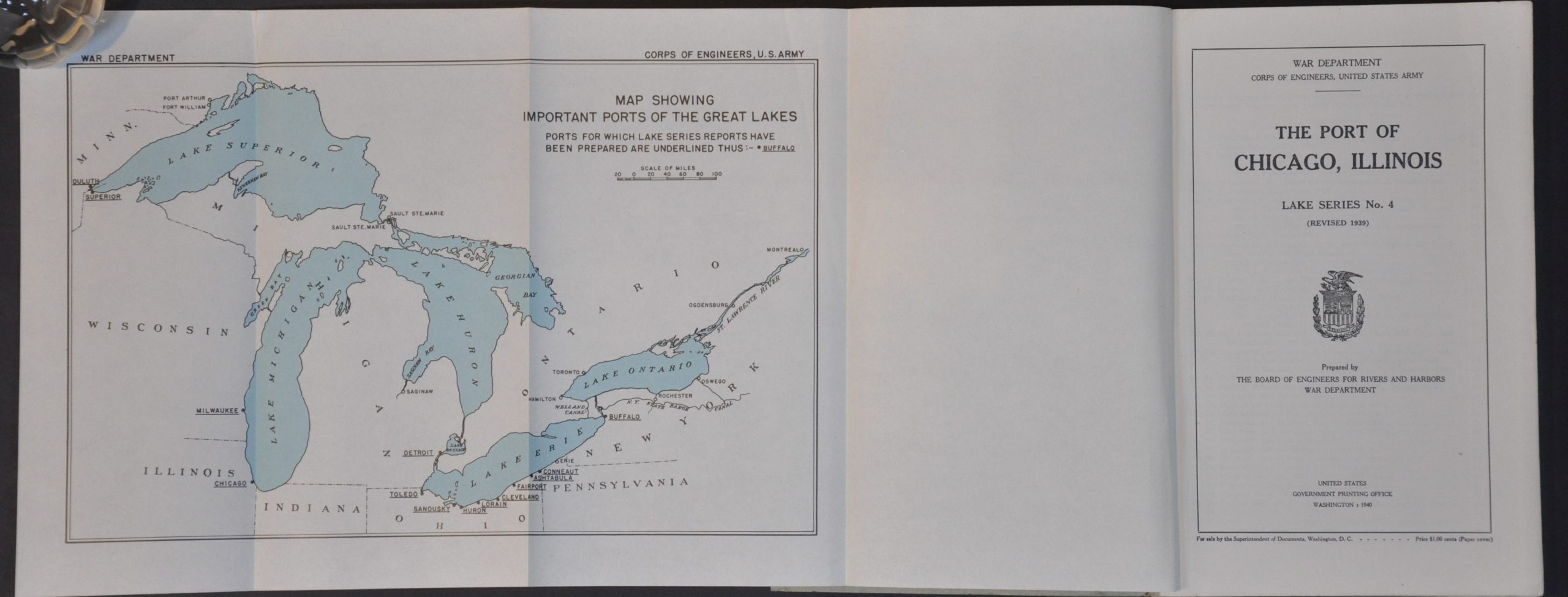
This detailed report on Chicago’s maritime infrastructure was submitted by Lt. Col. R.A. Wheeler on behalf of the War Department’s Board of Engineers for Rivers and Harbors. The U.S. Army Corps of Engineers was responsible for maintaining the economically and militarily vital waterways between Wilmette and Calumet Harbor, including the Chicago River. The importance of Chicago’s port is emphasized through two fold-out maps that highlight the origin and destination of lake receipts for 1938.
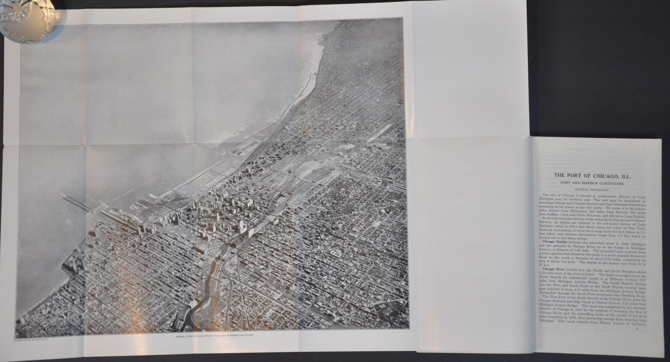
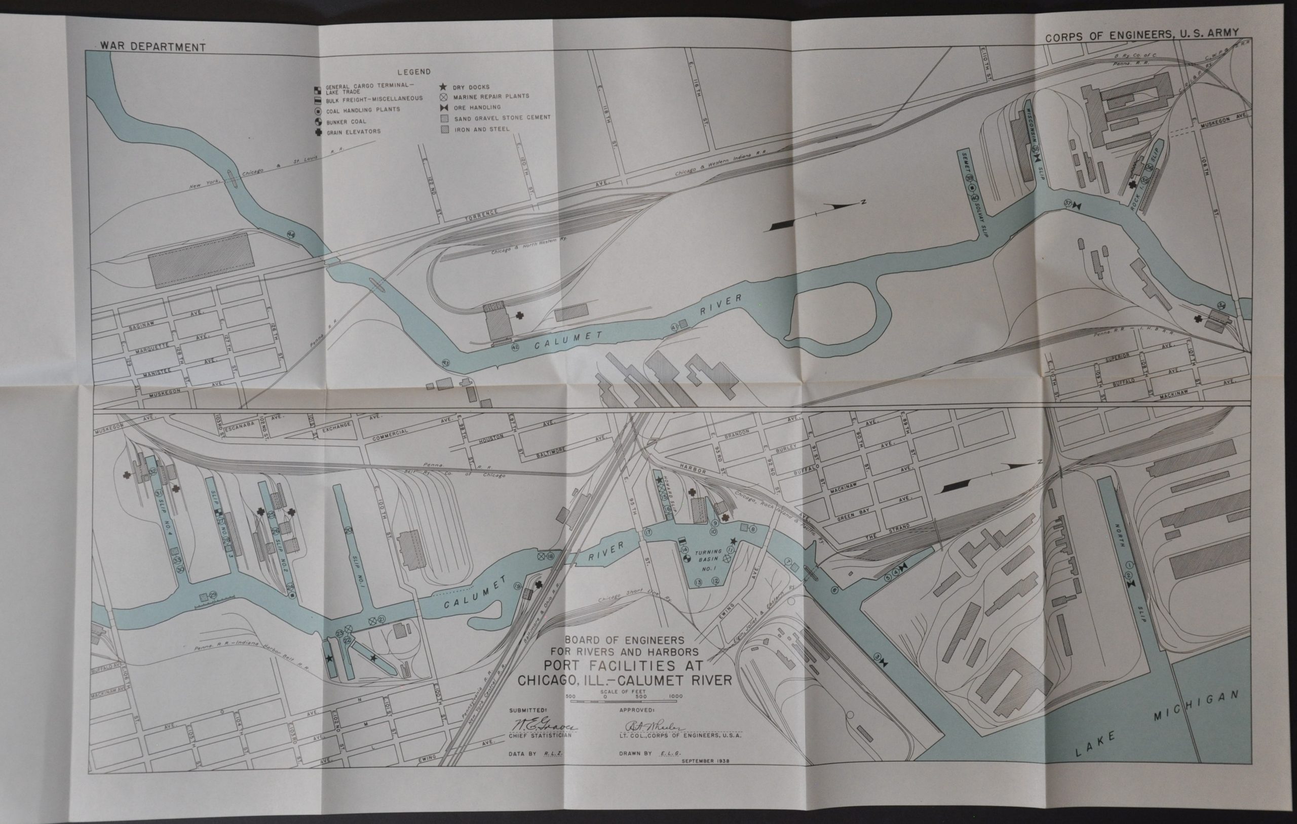
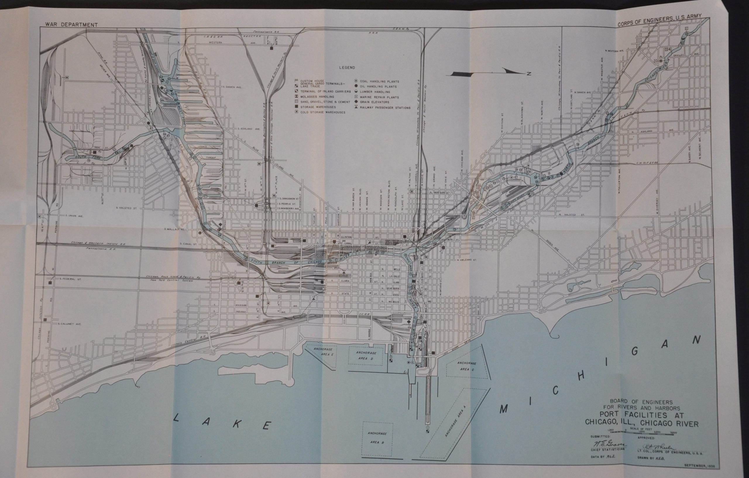
Other fold-out maps show important port cities across the Great Lakes, the railroad connections around Chicago, and an overview of the port facilities along the lakefront and Lake Calumet. A succinct chart outlines commerce levels from Chicago from 1929 – 1938; over 75% of foreign exports were grain. Also of interest is a marvelous aerial view of the city, looking southeast towards Lake Michigan. Published by the Government Printing Office in 1940.
Map Details
Publication Date: 1940
Author: U.S. Army Corps of Engineers
Sheet Width (in): See Description
Sheet Height (in): See Description
Condition: A-
Condition Description: Ex-Libris from Whitman College Library, with a bookplate on the front end cover. Complete, with i - xx + 190 pp. of text and six fold-out maps that range in size from. Bound in original blue wraps, slightly faded along the spine. Very good condition overall.
$195.00
1 in stock