The Parks and Property Interests of the City of Chicago
$1,250.00
Chicago officially dons its ‘Emerald Necklace.’
1 in stock


Description
“Of all men in the world, a Chicagoan, when he finds a fact, palpable and indisputable, should accept it as fact. Had this always been done in the history of our city, it would have been far better for the metropolis.” – Introduction.
The ‘fact’ alluded to in the opening words of this unprepossessing volume is that the establishment of public parks across Chicago will promote property interests, increase real estate values, and protect against the boom and bust cycles that have plagued potential investors. Recent Illinois legislation (enacted the same year as publication) established the groundwork for a “ribbon of parks and pleasure drives encircling the city”, but there was still much work to be done – including planning, construction, and encouraging public support. That was likely the intention behind the book, compiled by the Western News Company and printed in Chicago by Rand McNally & Co. in 1869.
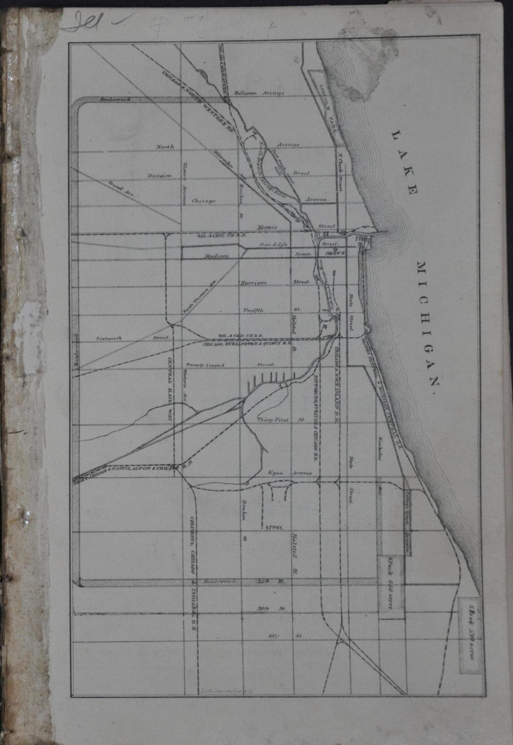
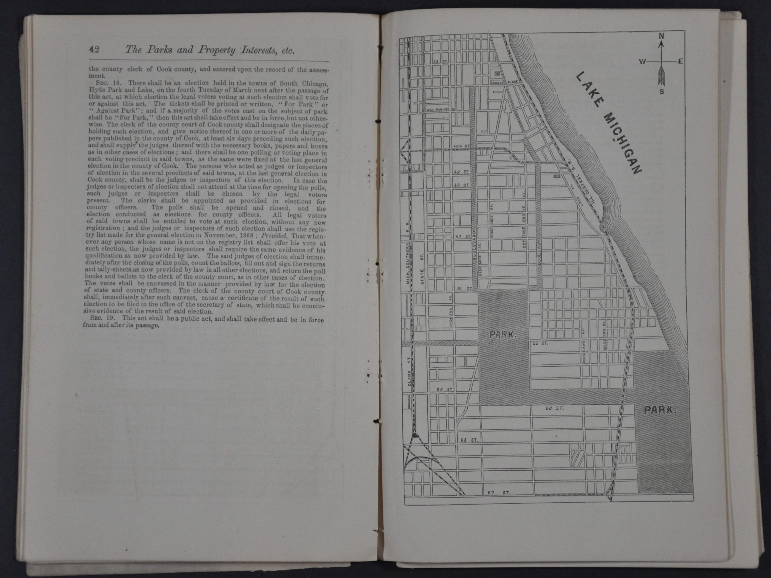
Nearly sixty pages of text written in the protracted language of the Reconstruction Era outlines the numerous benefits of the forthcoming park system. The overwhelming success of Lake Park (renamed Grant Park in 1901) and the myriad of outdoor spaces in New York are two persistent arguments in favor of the expenditure of space and money. The long-winded introduction and essay on Public Parks in Large Cities are followed by descriptions of West Park (yet to be outlined), South Park, and Lincoln Park. Three maps are included – a generalized index showing the network of parks and boulevards (plus railroads), a map of the South (ultimately Jackson and Washington) Parks, and a map of Lincoln Park that shows recent additions (former cemeteries).
In addition to an early record of Chicago’s iconic park system, the volume also represents an important milestone for the Rand McNally Company. The iconic 20th-century publishing firm was officially incorporated in 1868 after buying the printing equipment of the Chicago Tribune. What began as a modest operation printing railroad tickets and timetables quickly expanded into one of the nation’s premier cartographic companies. Of the maps presented, one is attributed to Charles Shober (index) and another to Baker (Lincoln Park). However, the map of the South Park is unsigned – possibly a Rand McNally production? If so, it would be the earliest known map to have been created by the firm (generally attributed to 1871).
Sources: Encyclopedia of Chicago; Chicago Park District;
Map Details
Publication Date: 1869
Author: Western News Company
Sheet Width (in): 5.5
Sheet Height (in): 8.5
Condition: B
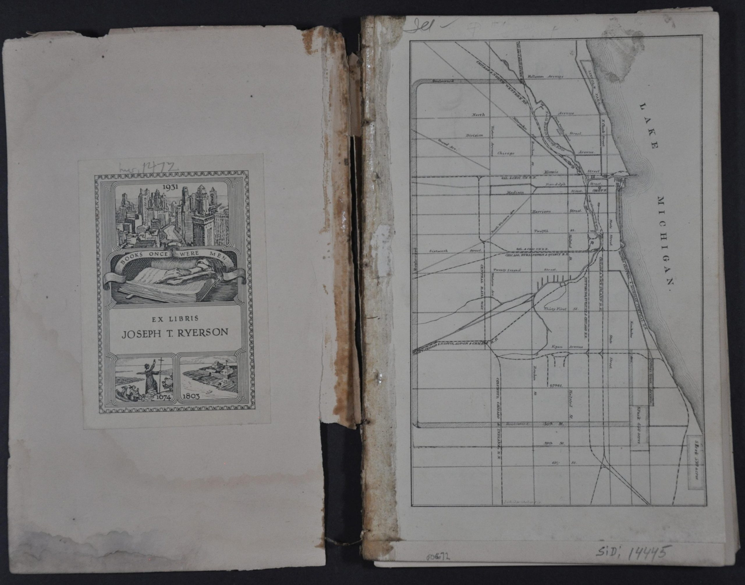
Condition Description: 64 pp. booklet with string binding and original marbled paper covers (separated, but present). Wraps heavily worn with an old owner's bookplate on the front. Contents are complete, but loosely bound and beginning to separate. Small holing along the gutter from the binding. Includes three woodcut maps, lightly toned and faintly soiled. Overall in about good condition.
$1,250.00
1 in stock