The Official National Survey Maps and Guide for New York
$110.00
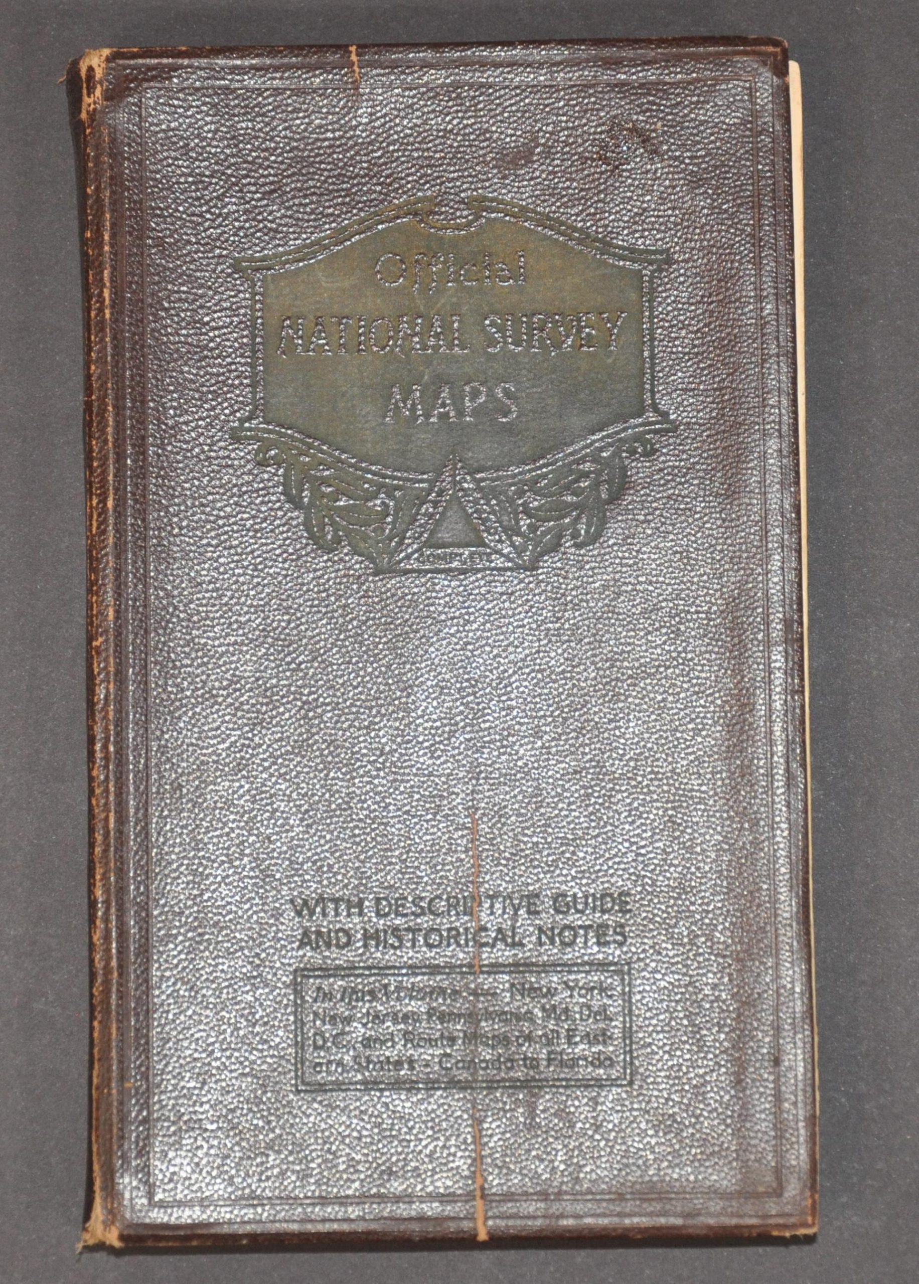
“In this volume – New York, New Jersey, Pennsylvania, Maryland, Delaware, D.C. and Route Maps of all Eastern States – Canada to Florida” [front cover]
1 in stock
Description
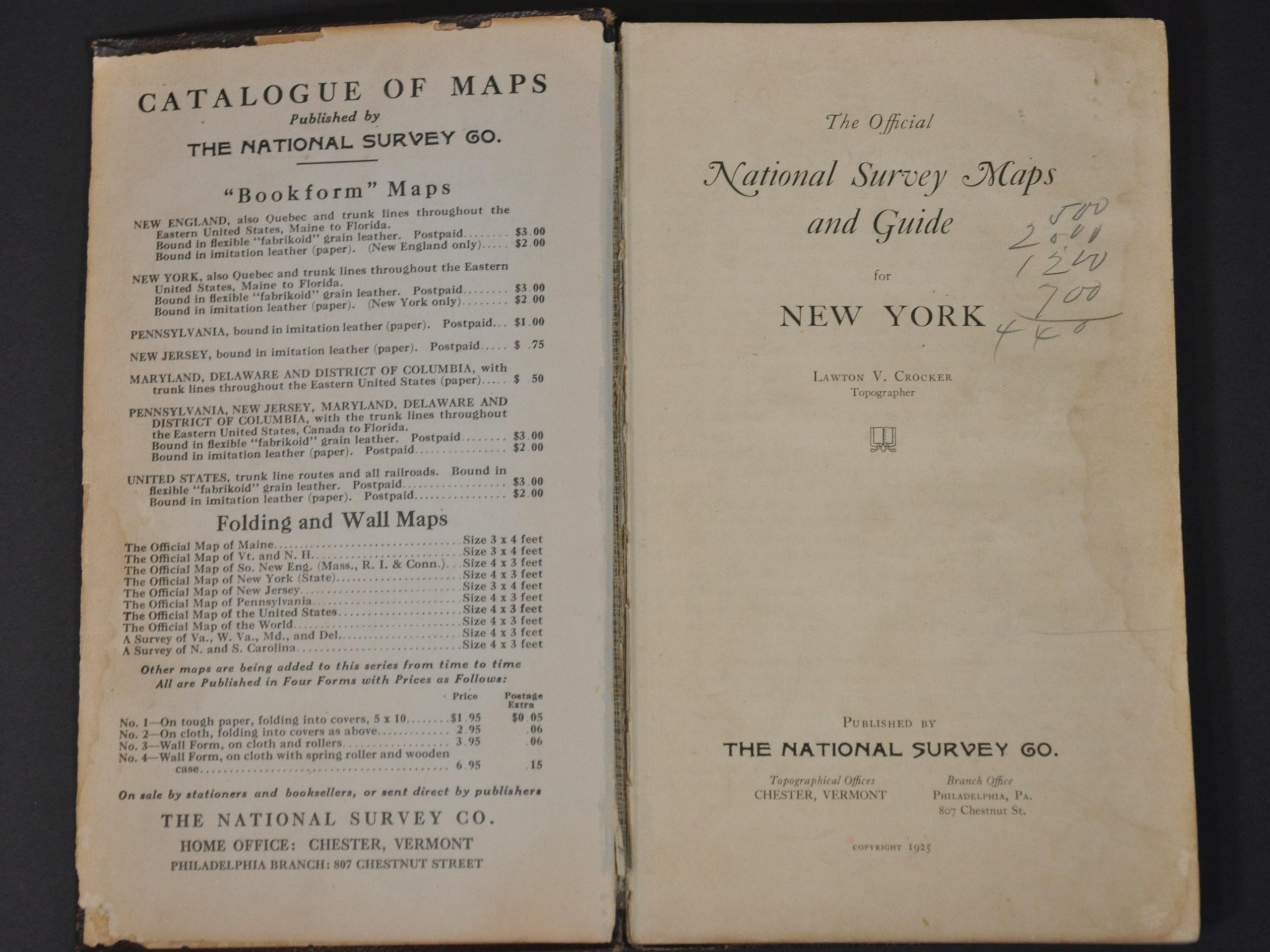
This fascinating route book was compiled by L.V. Crocker and published in 1925 by the National Survey Company of Chester, Vermont. Its 200+ pages provide a glimpse into the world of regional automobile tourism that was becoming increasingly popular during the Roaring 20s as motorized vehicles become increasingly affordable and road conditions improved across the country.
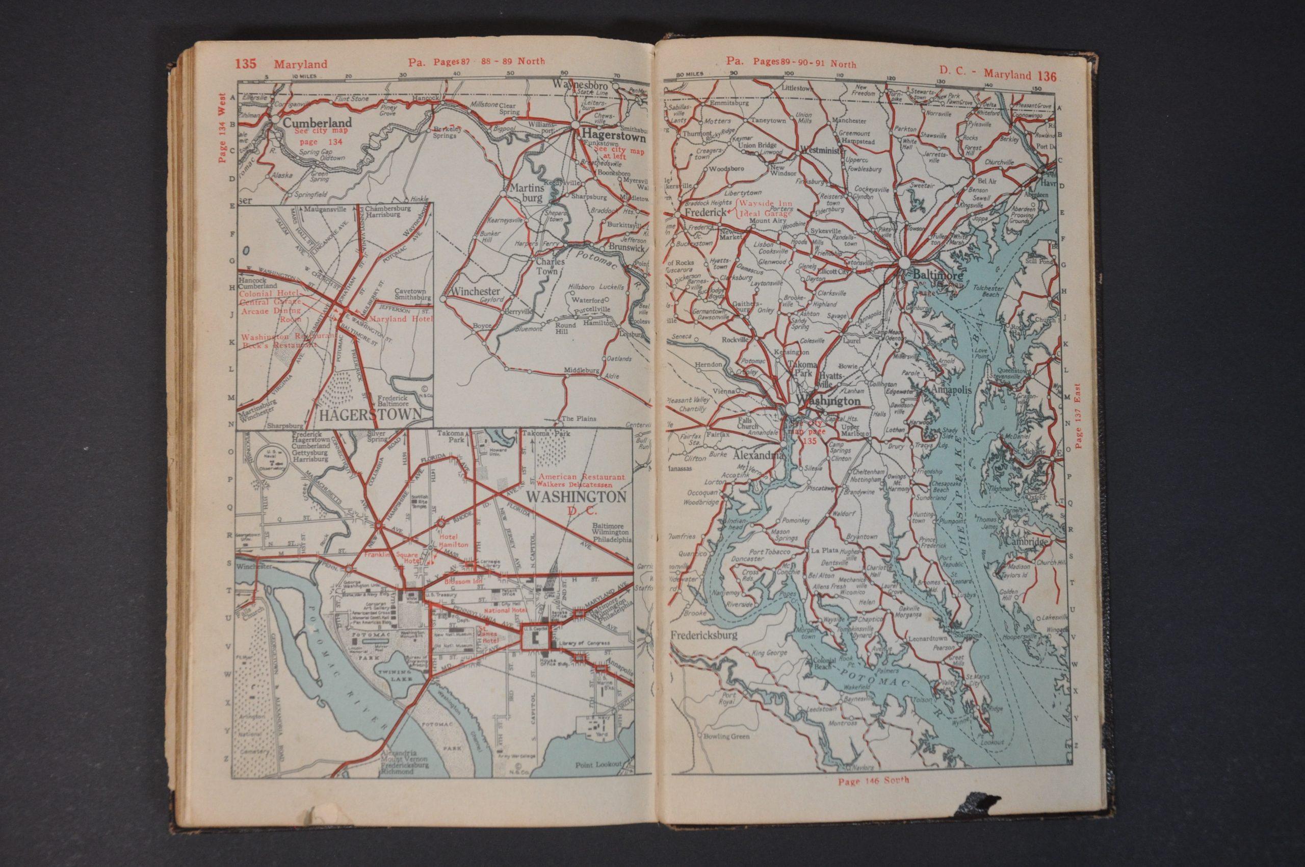
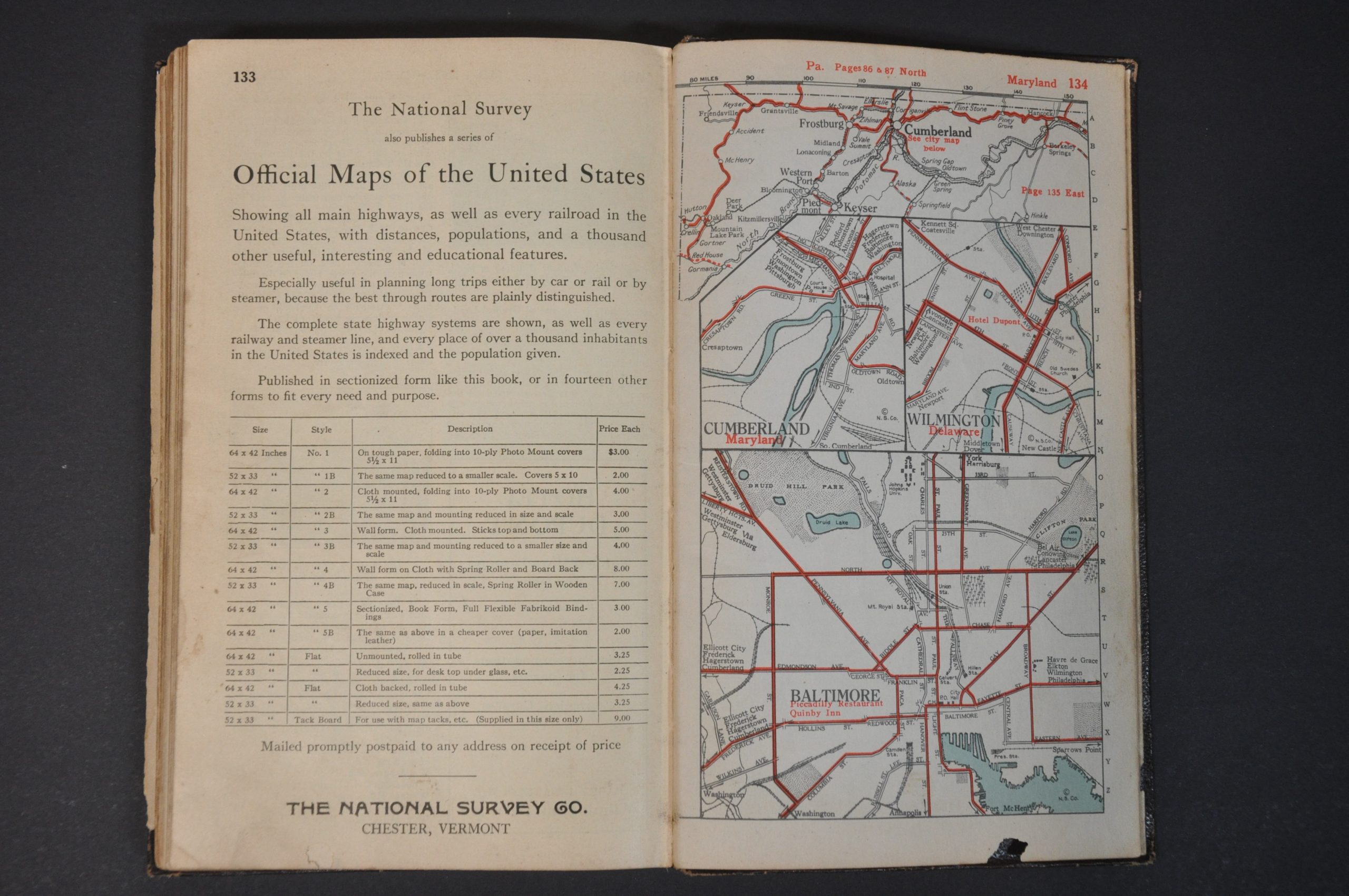
Dozens of maps cover the primary roads around New York and New England, as well as showing a recommended route along the Atlantic Coast to Florida. Contemporary advertisements provide details on recommended hotels, restaurants, auto mechanics, and locations of interest throughout. A comprehensive index lists every town and settlement, with available motorists’ amenities, where applicable and photographs provide visual aids for intrepid tourists. Simple city plans provide overviews of primary streets across major urban centers and mileage tables list distances between major points.
The almost haphazard compilation would have been somewhat unwieldy to use, and the route book eventually gave way to the more common single-sheet ‘network’ maps that presented complete road systems.
Map Details
Publication Date: 1925
Author: Lawton V. Crocker
Sheet Width (in): 8.75
Sheet Height (in): 5.5
Condition: B+
Condition Description: 76 pp. index (unpaginated) + 148 pp. of maps and advertisements bound in original full maroon leather with embossed front cover. Moderate wear throughout, including a broken spine, scattered annotations, light spotting and soiling, and a few minor tears and chips. About good condition overall.
$110.00
1 in stock


