
The Official Map of the World
$200.00
An uncertain world after the dust settles from WWI.
1 in stock
Description
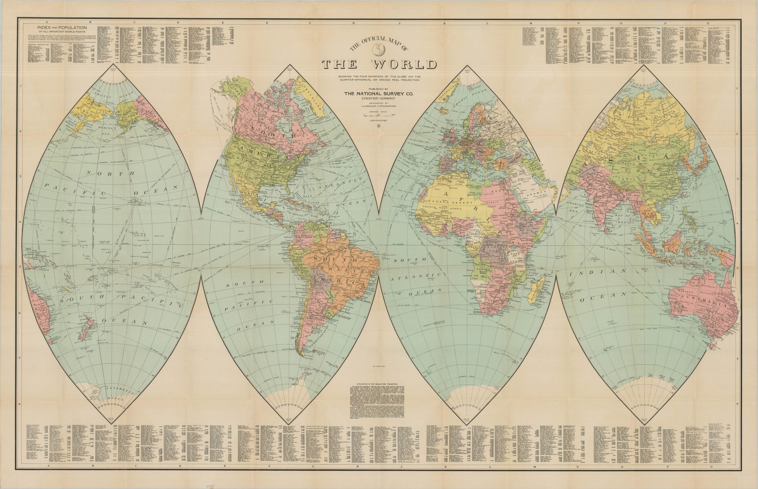
This fascinating world map, issued on an “Orange Peel” projection, was designed by L. V. Crocker and published around 1920 by the National Survey Company of Chester, Vermont. Vibrant printed color delineates the political status of the globe in the unsettled years following World War I.
While German territory in Europe remains largely intact, its former overseas possessions are left uncolored, reflecting their transfer from German sovereignty and the still-evolving mandate system. A similar ambiguity appears in Russia, then undergoing the brutal Civil War, as well as across largely undefined portions of the Arabian Peninsula. Also of particular interest is the depiction of a large Armenia alongside a truncated Turkey, reflecting the dramatic redrawing of the former Ottoman Empire envisioned in the immediate postwar settlement.
Map Details
Publication Date: c. 1920
Author: L.V. Crocker
Sheet Width (in): 51.75
Sheet Height (in): 33.50
Condition: A-
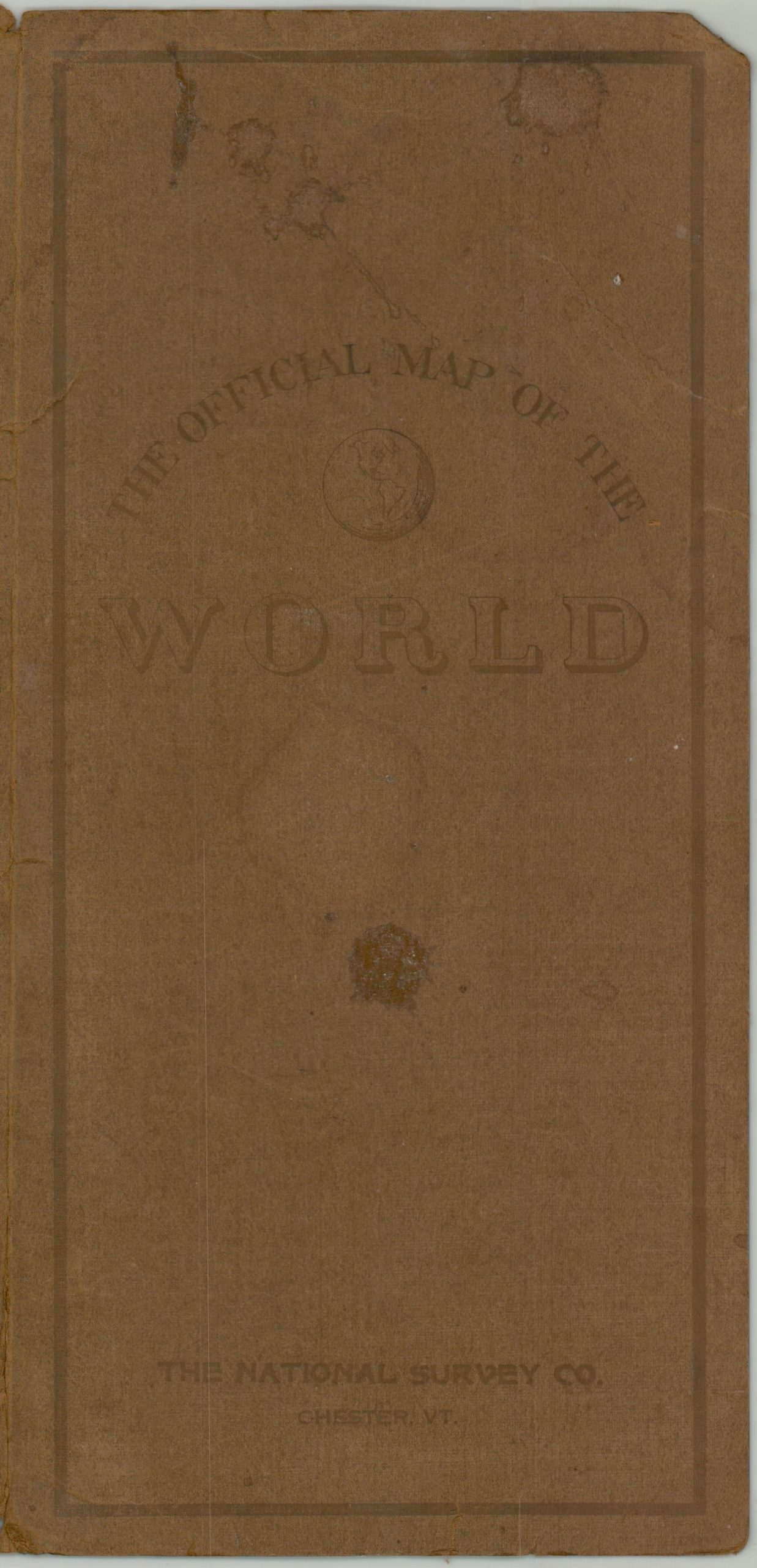
Condition Description: Large color printed map on a sturdy single-sided sheet, folded and affixed to original brown paper wraps (pretty tattered). Creased along old folds and faintly worn in the margins, but overall in very good condition.
$200.00
1 in stock