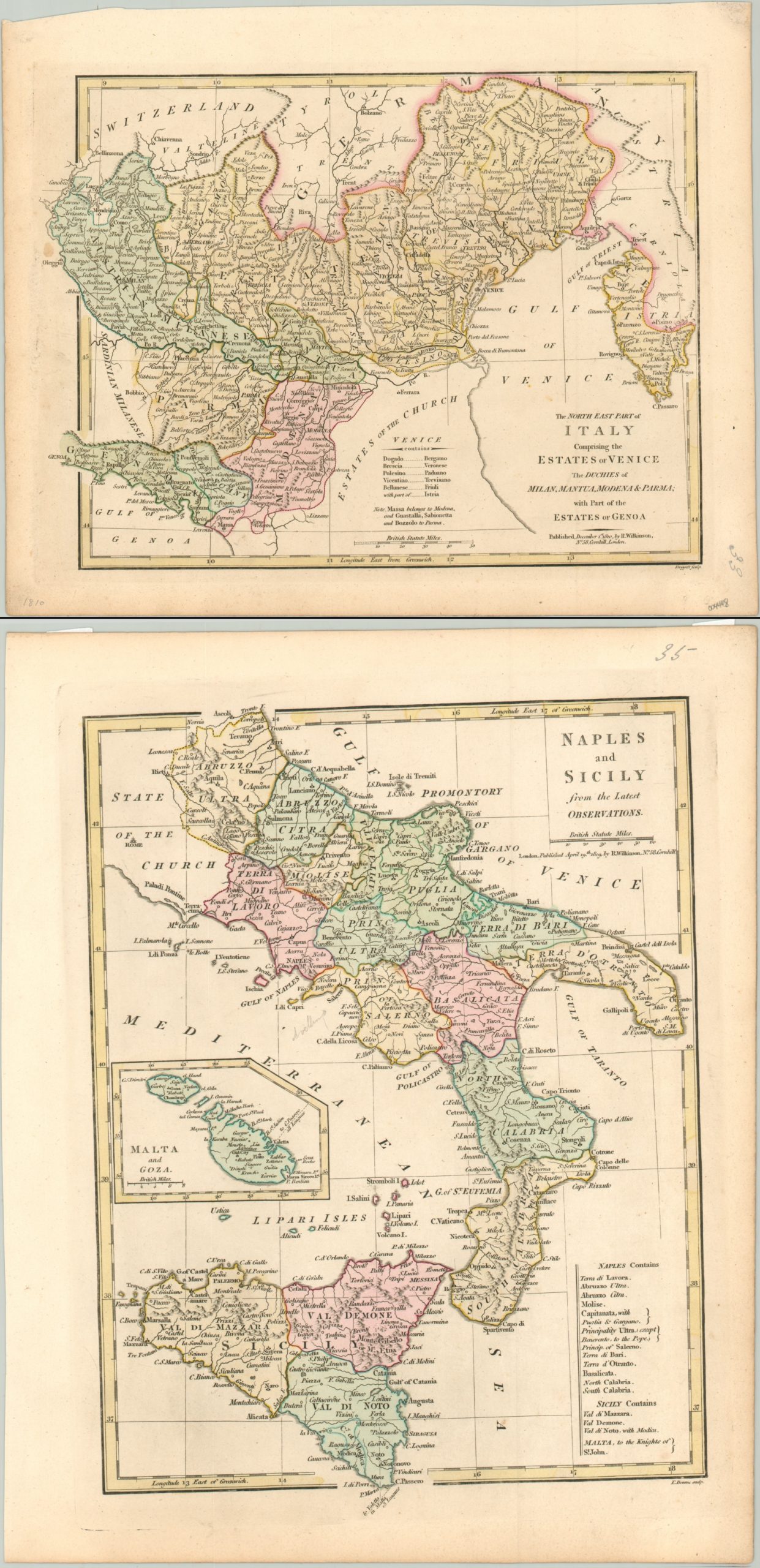
The North East Part of Italy [and] Naples and Sicily
$50.00
A divided Italy in the early 19th century.
1 in stock
Description
This pair of colorful maps was published in London in 1810 by Robert Wilkinson. Each shows a portion of what would ultimately become the united nation of Italy, though at the time it was comprised of numerous smaller kingdoms under the authority of various European powers.
One sheet shows the kingdom of Naples and Sicily in the south. It includes an inset of Malta and Goa and lists the constituent pieces of both Naples and Sicily. The second sheet shows northeastern Italy, including Venice and the duchies of Milan, Mantua, Modena, Parma, and parts of Genoa.
Both regions, divided by the papal states, were under the authority of Napoleonic France at the time of publication, but neither image reflects Napoleon’s political reorganization.
Map Details
Publication Date: 1810
Author: Robert Wilkinson
Sheet Width (in): 10.5
Sheet Height (in): 13
Condition: A-
Condition Description: Lightly toned around the outer edges of the sheet, confined to the margins. Manuscript page numbers in the corner and small pieces of archival tape on the verso where previously matted. Very good overall, with original hand color.
$50.00
1 in stock


