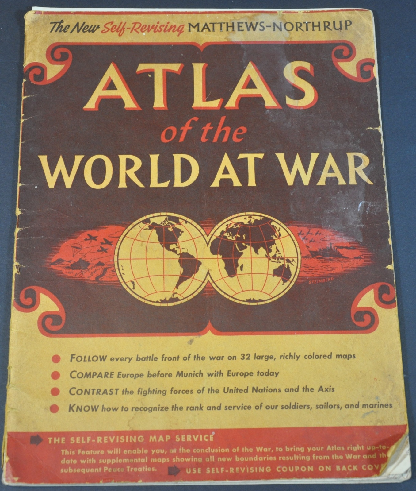
The New Self-Revising Matthews-Northrup Atlas of the World At War
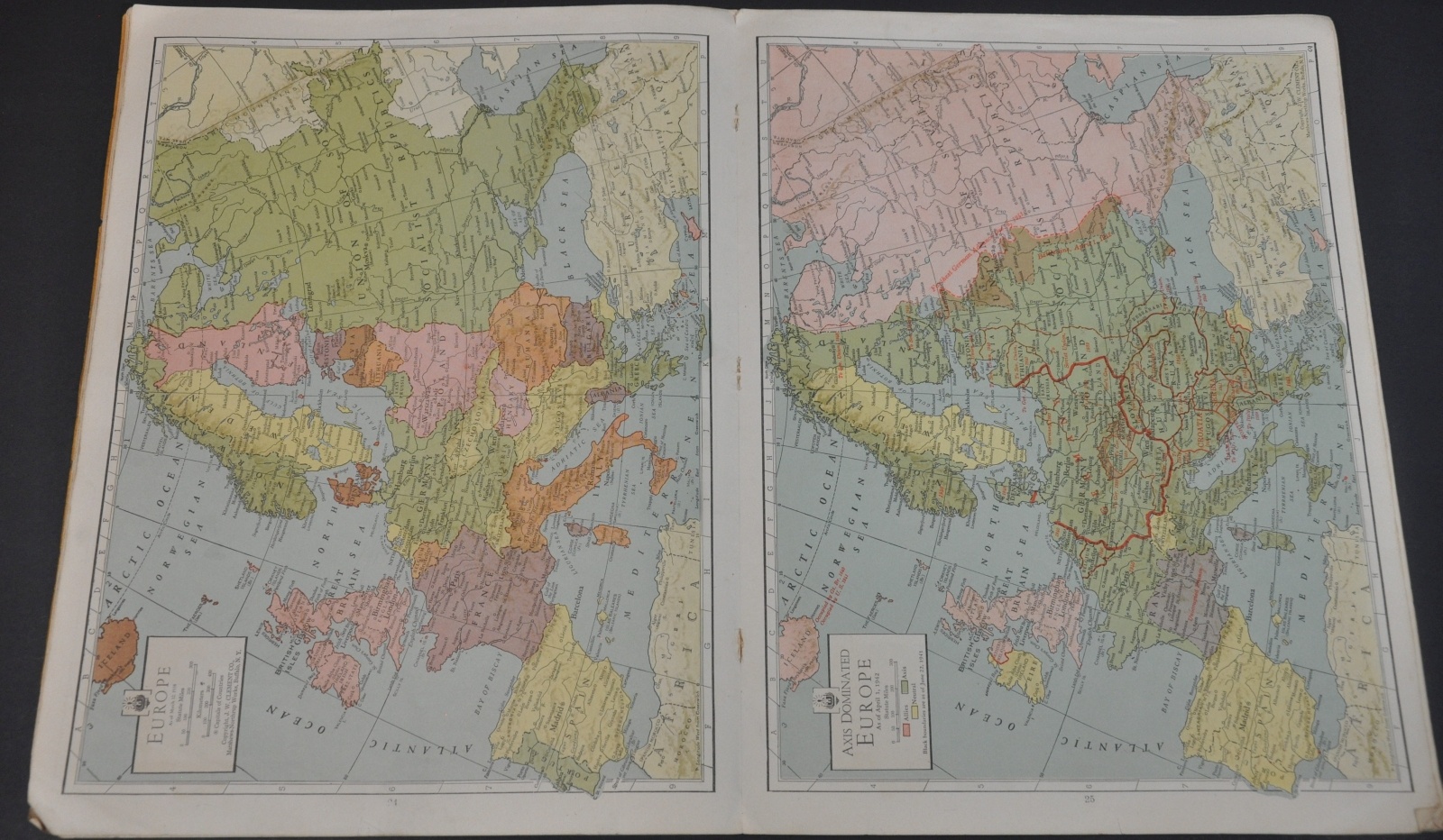
“Compare Europe before Munich with Europe today”
Out of stock


Description
“Munich” in the quote above, found on the front cover, is a reference to the 1938 treaty that allowed for the German annexation of the Sudetenland in Czechoslovakia. It was a pivotal point in the appeasement process that contributed to the global outbreak of World War II, and with hindsight the text certainly looks like some proverbial ‘finger pointing.’
America had just been thrust into a global war on multiple fronts, with domestic interest largely in favor of action against the Japanese in the Pacific. This atlas is a fascinating encapsulation of the war at a pivotal period, when momentum was beginning to swing in favor of the Allied forces.
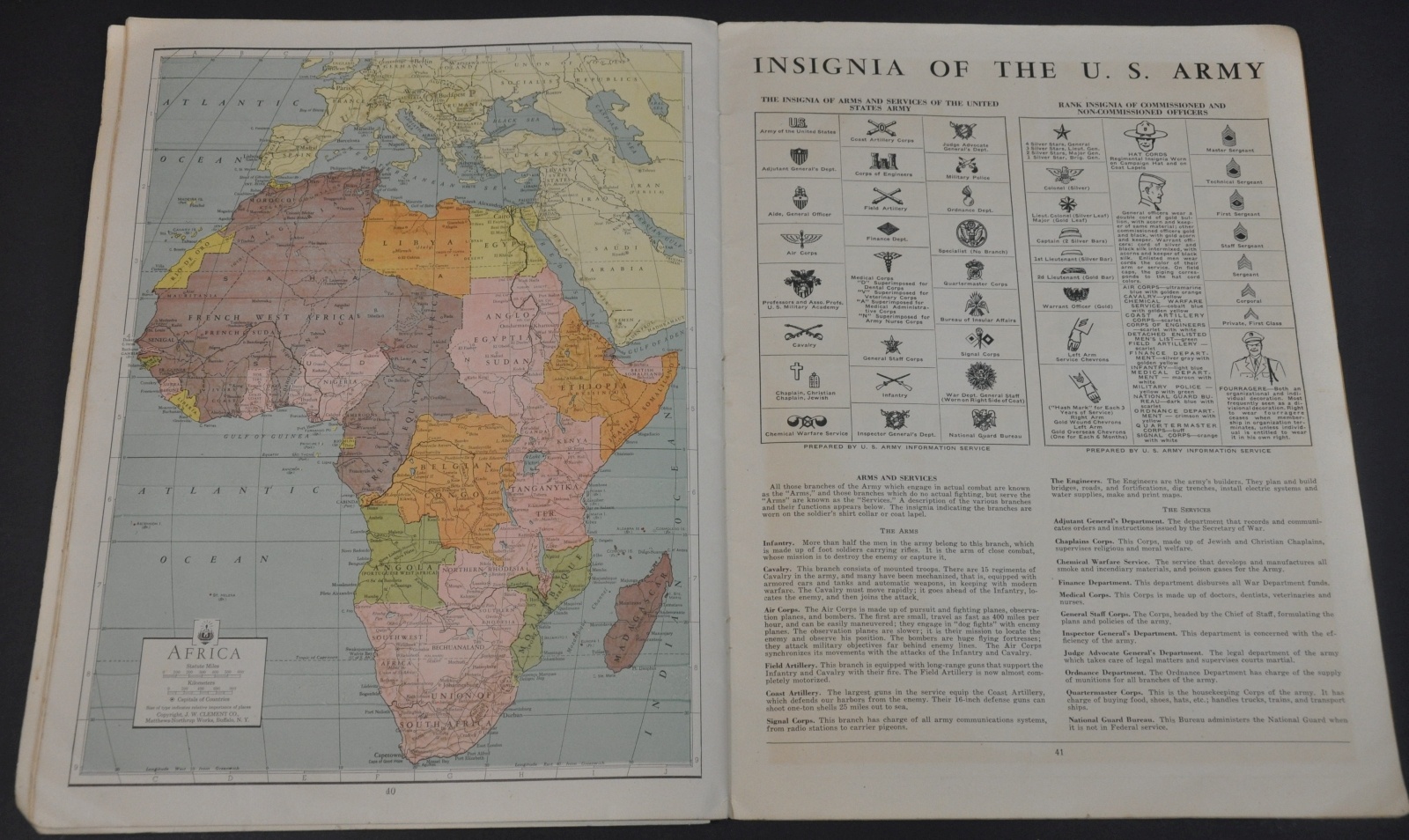
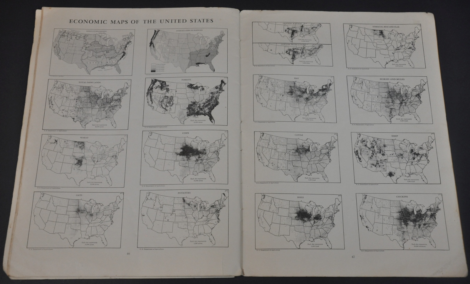
In addition to the 32 ‘large, richly colored maps’ also advertised on the front, the volume also contains a carefully curated world chronology, tables of WWII statistics, insignia charts, and a variety of ‘Economic Maps of the United States’ ostensibly designed to boost morale with the abundance of U.S. Resources.
The statistics presents in the numerous charts throughout the map are particularly interesting – even in the early stages of the war the Soviet Union’s published casualty rate was over 75% (9.15 out of 12 million mobilized forces).
Map Details
Publication Date: 1942
Author: Matthews-Northrup Company
Sheet Width (in): 10.00
Sheet Height (in): 13.50
Condition: B
Condition Description: 48 pp. atlas with illustrated stiff paper covers and stapled binding. Wrappers are soiled, worn, and creased in the corners. Contents have separated from the binding and are loose in many cases, but overall in good condition. A few small edge tears, creased corners, and light soiling.
Out of stock