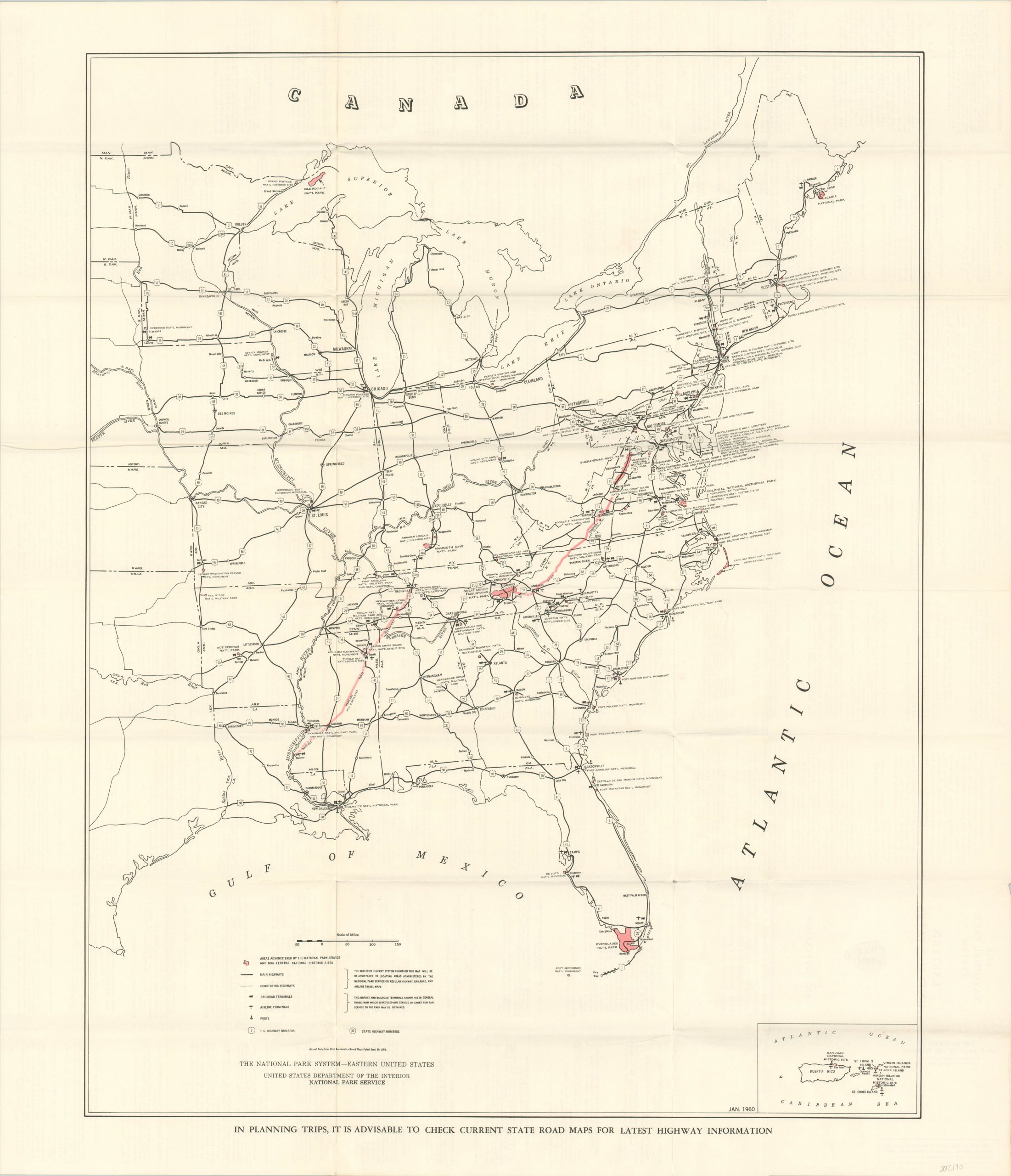
The National Park System – Eastern United States
$75.00
Overview of the National Park Service in the Eastern United States.
1 in stock
Description
When compared to the West, the Eastern United States has an embarrassing dearth of dedicated National Park land. Small pockets of highlighted areas are scattered across a handful of states east of the Mississippi, though the ongoing construction of the Blue Ridge Parkway and Natchez Parkway Trace will contribute significantly to the scope.
Other transportation routes – road, airports, ports, and train stations – are noted and highlight accessibility to locations throughout the image. An inset map of Puerto Rico and the U.S. Virgin Islands is provided in the lower right.
The verso of the ‘invitation’ (as the map is called on the cover) includes a short summary, hours, amenities, and brief directions to each of the parks shown within the image. Published in 1960 by the Government Printing Office on behalf of the National Park Service.
Map Details
Publication Date: 1960
Author: Government Printing Office
Sheet Width (in): 27.75
Sheet Height (in): 32.00
Condition: A-
Condition Description: Originally issued folded into 24 panels, with creasing and moderate wear along fold lines. Several intersections have small pinholes, and there are a few tiny spots of offsetting from the red ink. Remains in very good condition overall.
$75.00
1 in stock

