The Map of Beleriand and the Lands to the North
$95.00
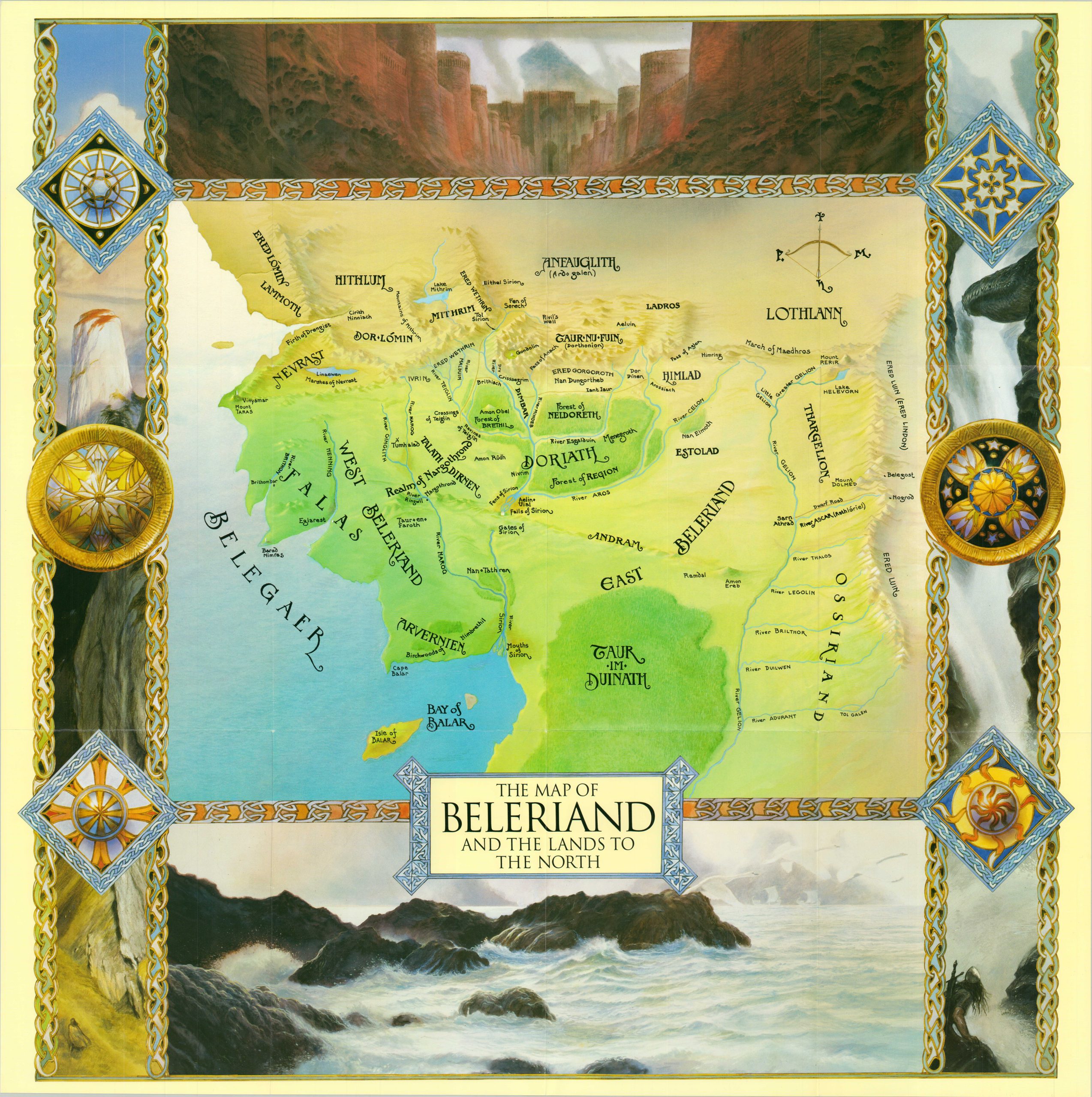
A vibrant map of Beleriand, found in northwest Middle-Earth.
1 in stock
Description
This eye-catching map covers a large region of J.R.R. Tolkien’s Middle-Earth known as Beleriand. It was the setting of The Similarion, a collection of Tolkien’s original writings that was first published posthumously in 1977.
Geographic features are shown pictorially, while the typography displays a host of place names not well known in LoTR lore (most of the Similarion takes place prior to the ‘main story’). Various landscapes comprise the fantastical borders.
Drawn by John Howe and published in 1999 by Harper Collins. Originally issued to accompany The Map of Tolkien’s Beleriand, a small booklet describing the geography of The Similarion that was authored by renowned Tolkien expert Brian Sibley.
Map Details
Publication Date: 1999
Author: John Howe
Sheet Width (in): 28.25
Sheet Height (in): 28.25
Condition: A
Condition Description: Creased along originally issued fold lines. Near fine condition overall.
$95.00
1 in stock