
The Maltese Island
$195.00
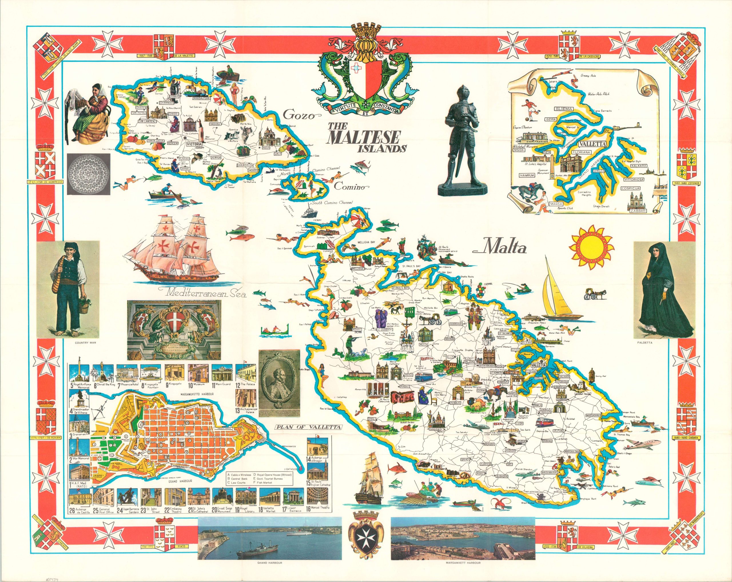
A lovely mid-century pictorial map of Malta.
1 in stock
Description
This charming pictorial map of the Maltese Islands (Malta, Gozo and Comino) was illustrated by Aldo Ciqheri and published around 1950 by the Maltese Bureau of Tourism. The vibrantly colored image presents an inviting mix of ‘old and new’ across the archipelago, with modern-day transportation, recreation, guest amenities shown alongside quaint cultural features, historic sites, and local landmarks. Plenty of sunshine, food, fishing, and stunning churches to keep tourists occupied! Insets in the lower left and upper right show a city plan of Valetta and the surrounding area, respectively.
Map Details
Publication Date: c. 1950
Author: Aldo Ciqheri
Sheet Width (in): 25.4
Sheet Height (in): 20.2
Condition: A
Condition Description: Brightly colored pictorial map, creased along original folds. A bit of light wear, consistent with age, but overall in near fine condition.
$195.00
1 in stock