
The Magic Carpet to Faster, Safer Travel Across the U.S.A.
Promotional guide to U.S. Highway 30 between Chicago and the Pacific Coast.
Out of stock
Description
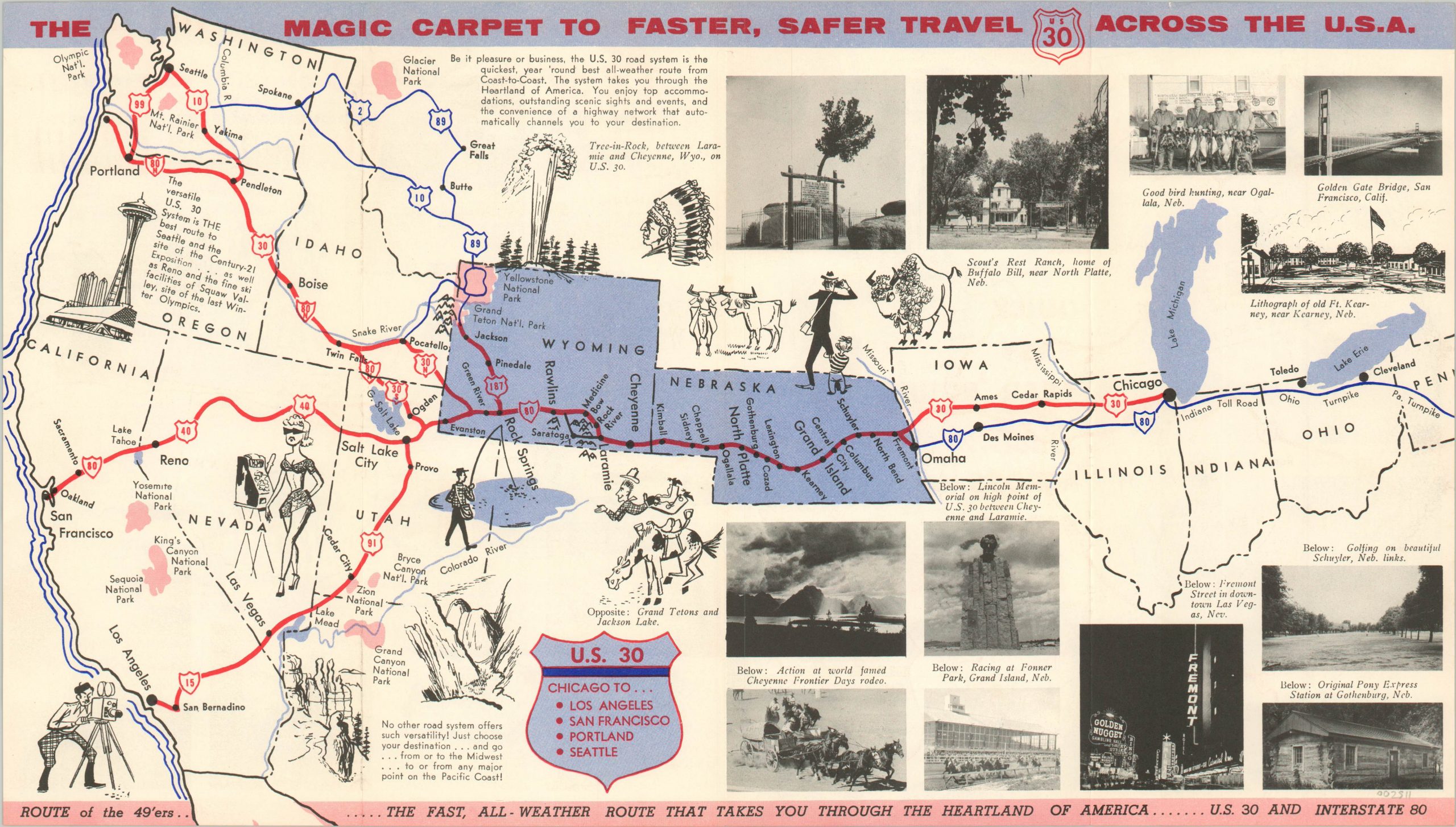
This wonderful folding map presents a stylized view of a large portion of the western United States, emphasizing the route of U.S. 30 and its available destinations on the West Coast. A number of stops are labeled along the bold red lines between Chicago and Portland, San Francisco, and Los Angeles.
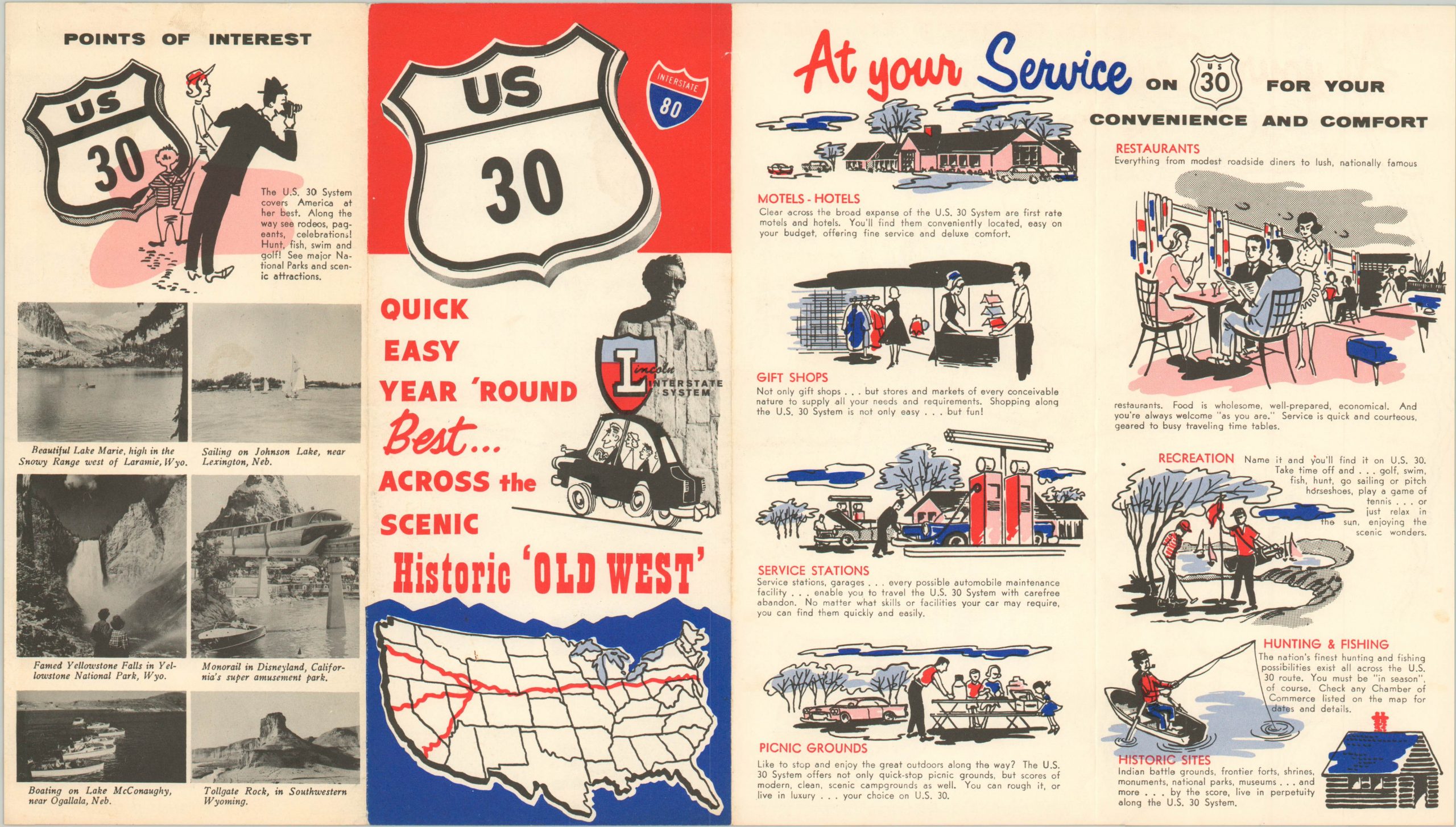
Accompanying photographs highlight many of the attractions available along the way, including the casinos of Las Vegas and several national parks and monuments. Published in the late 1950’s in an effort to compete with the forthcoming Interstate 80.
Map Details
Publication Date: c. 1957
Author: U.S. Highway 30 Association?
Sheet Width (in): 15.75
Sheet Height (in):
Condition: A-
Condition Description: Brochure folded into 4 panels with light edge wear, including two small tears. Creasing along fold lines. Very good overall.
Out of stock