
“The Historical Highway” U.S. 40 [title on verso]
San Francisco to New York along U.S. 40 – “The Historical Highway”
Out of stock

Description
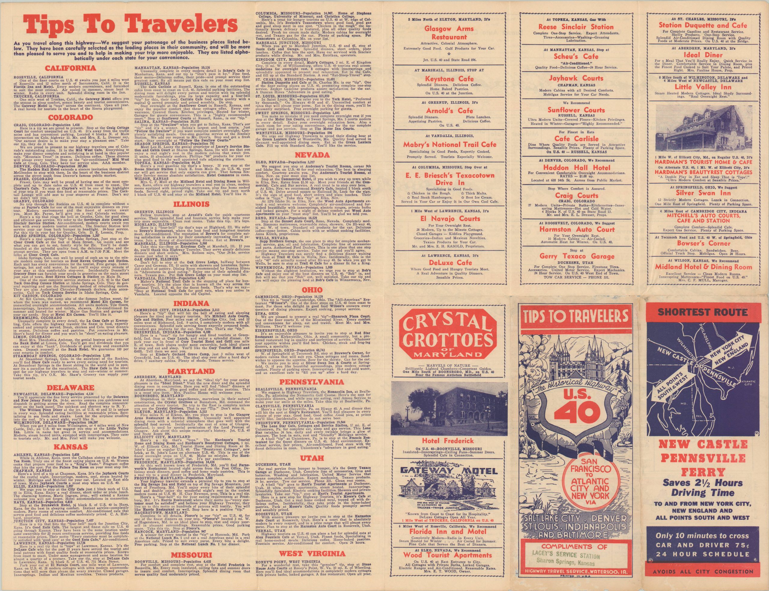
This fascinating travel aid was one of numerous such examples issued by the Highway Travel Service of Waterloo, Iowa between the mid-1930s and early 1950s. Each presents a compilation of strip maps covering a prominent highway route with accompanying recommendations for restaurants, accommodations, and other services along the way.
This example was likely issued in the late 1930s and shows the course of U.S. 40 between San Francisco and New York City via Salt Lake City, Denver, St. Louis, Indianapolis, and Baltimore. The route is broken into five different maps, each of which notes distances between points, locations of interest, and recommended services. Blocks of advertisements provide further details on the last category.
The verso presents a list of businesses in each of the thirteen states through which the highway passes, as well as additional promotional text for various locations. The back panel provides a small map and ad for the New Castle Pennsville Ferry, in operation prior to the opening of the Delaware Memorial Bridge in 1951.
Map Details
Publication Date: c. 1939
Author: Highway Travel Service
Sheet Width (in): 20.5
Sheet Height (in): 15.75
Condition: A-
Condition Description: Creasing and light wear along originally issued fold lines, including a few small holes at the fold intersections (no image loss). The sheet shows some minor edge wear and a tiny hole is present in the lower left corner. Very good overall.
Out of stock