
The Global Map
$125.00
That’s not how the world works…
1 in stock

Description
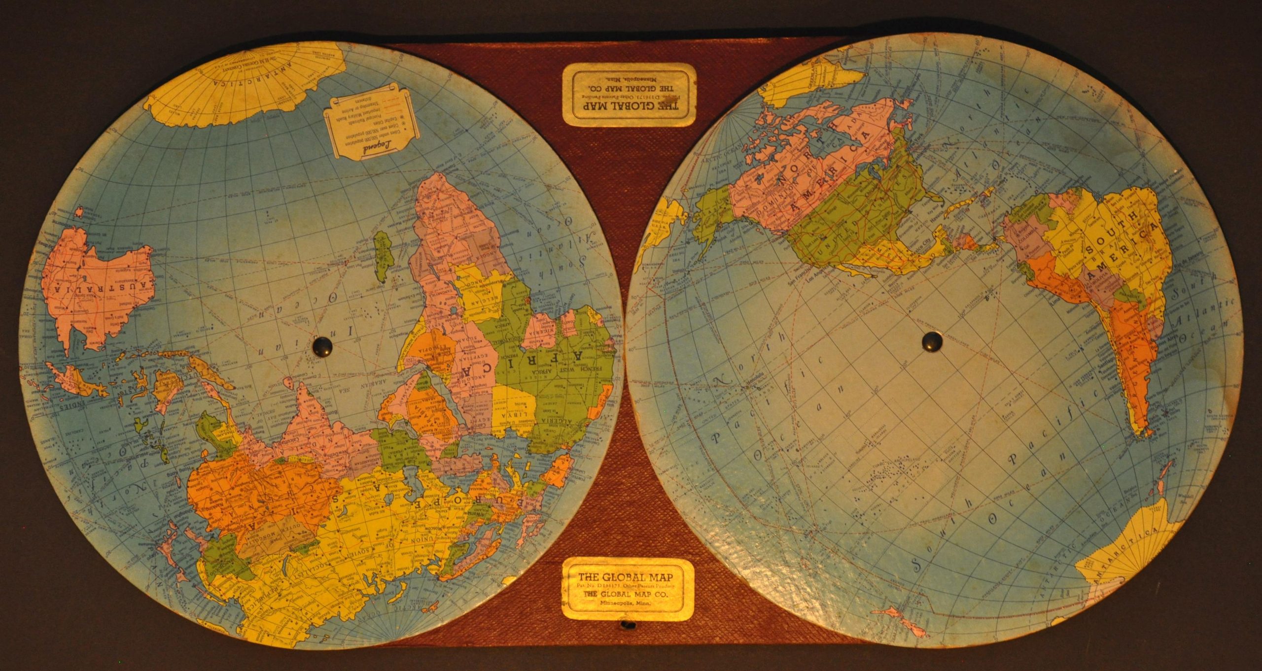
“The GLOBAL MAP was designed to permit the two hemisphere projections representing opposite halves of the earth’s surface to be rotated and synchronized so that continuous and accurate spherical relationships can be observed across any point of contact between the rotating hemispheres.” – Preface, verso.
This interesting WWII-era novelty was produced in late 1943/early 1944 by the Global Map Company of Minneapolis, Minnesota. Two revolving maps of the Eastern and Western Hemispheres (attributed to the H.M. Gousha Company of Chicago) allow the user to rotate the globe and compare aerial distances. The patent (granted June 10, 1943) credits the inventor as the St. Paul resident Paul von Rohl, though this example lacks the central hinge depicted on the application diagram. Directions and an index of major nations are provided on the verso. World War II saw an incredible surge in the commercial production of maps, atlases, and geographic references as residents across the United States developed a newfound interest in conflict theaters around the globe.
Map Details
Publication Date: c. 1943
Author: Global Map Company
Sheet Width (in): 22.50
Sheet Height (in): 11.25
Condition: B
Condition Description: Two rotating cardboard discs affixed to a third piece with two rivets. Small hole for hanging in the upper center. Moderate to heavy dampstaining visible on the far right and some foxing present on the verso.
$125.00
1 in stock