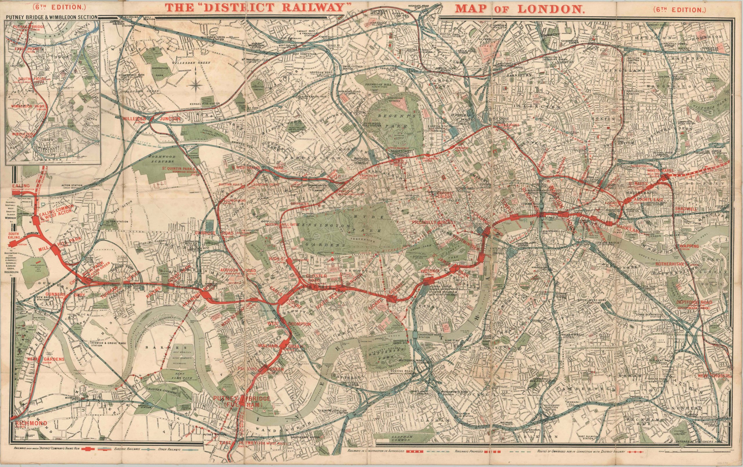
The “District Railway” Map of London (6th Edition)
$250.00
Early 20th century map of a predecessor to London’s Underground.
1 in stock
Description
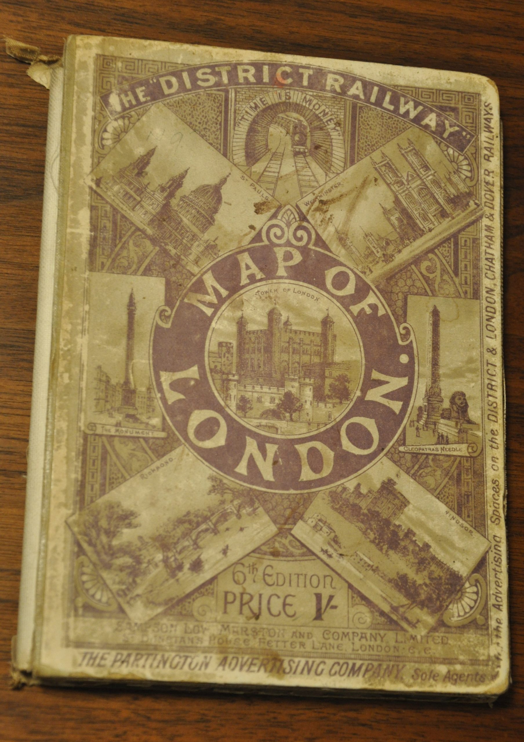
Dated using the presence of Westminster Station (renamed from Westminster Bridge in 1907) and Gower Street Station (renamed Euston in 1909), this map was likely issued in 1908 by the Partington Advertising Company. It was printed by Sampson Low, Marston & Company Limited on behalf of the London District Railway, whose lines are shown boldly in red across the image.
Proposed routes and those under construction, electric railways (partially financed by Charles Yerkes) and omnibus routes are also noted, according to the legend along the bottom of the sheet. The map shows a fascinating and detailed overview of greater London from the early 20th century, with prominent buildings, public spaces, streets and districts all individually labeled.
References: Hunt, Bruce. Guide to Dating London Maps.
Map Details
Publication Date: 1908
Author: Partington Advertising Company
Sheet Width (in): 41.50
Sheet Height (in): 26.10
Condition: B
Condition Description: Issued mounted on linen and folded into 30 segments. Original boards present, but detached. Moderate wear and creasing along fold lines, including tiny spots of image loss. Toned outer edges and a bit of light soiling visible in the white areas. Remains in good condition.
$250.00
1 in stock


