The Defense of France!
$80.00
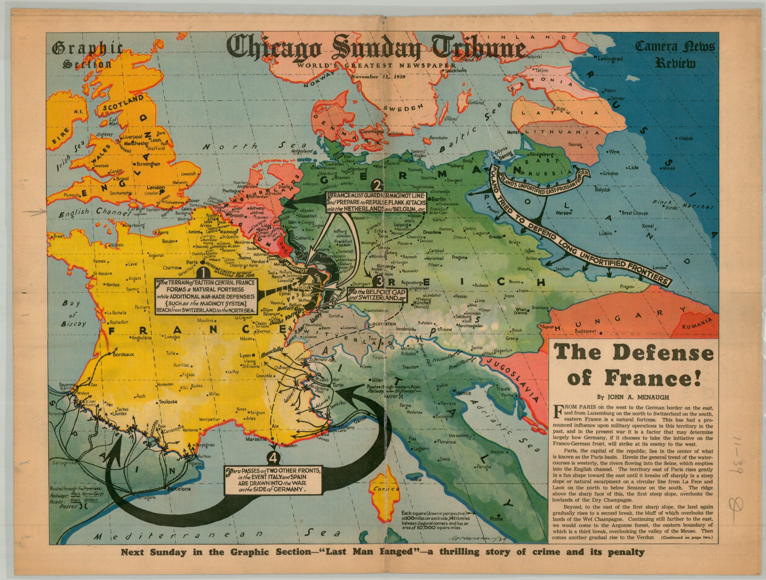
An overview of France’s defensive strategy during the early months of World War II.
1 in stock
Description
This punchy newspaper map was drawn by staff artist William Wisner and originally published as part of the November 12, 1939 issue of the Chicago Sunday Tribune. Germany’s invasion of Poland a few months earlier prompted Britain and France to declare war – the start of a global conflagration that would consume tens of millions of lives. France’s strategic situation is presciently outlined, with one text block reading “France must guard her Maginot Line and prepare to repulse flank attacks via the Netherlands and Belgium.” Copy text written by John A Menaugh describes the physical geography of the country.
Map Details
Publication Date: 1939
Author: William Wisener
Sheet Width (in): 20.90
Sheet Height (in): 15.70
Condition: B
Condition Description: Single piece of newsheet, unfortunately laminated. Date penciled on the margin.
$80.00
1 in stock