
The Darkening Shadow
A textbook example of map manipulation.
Out of stock

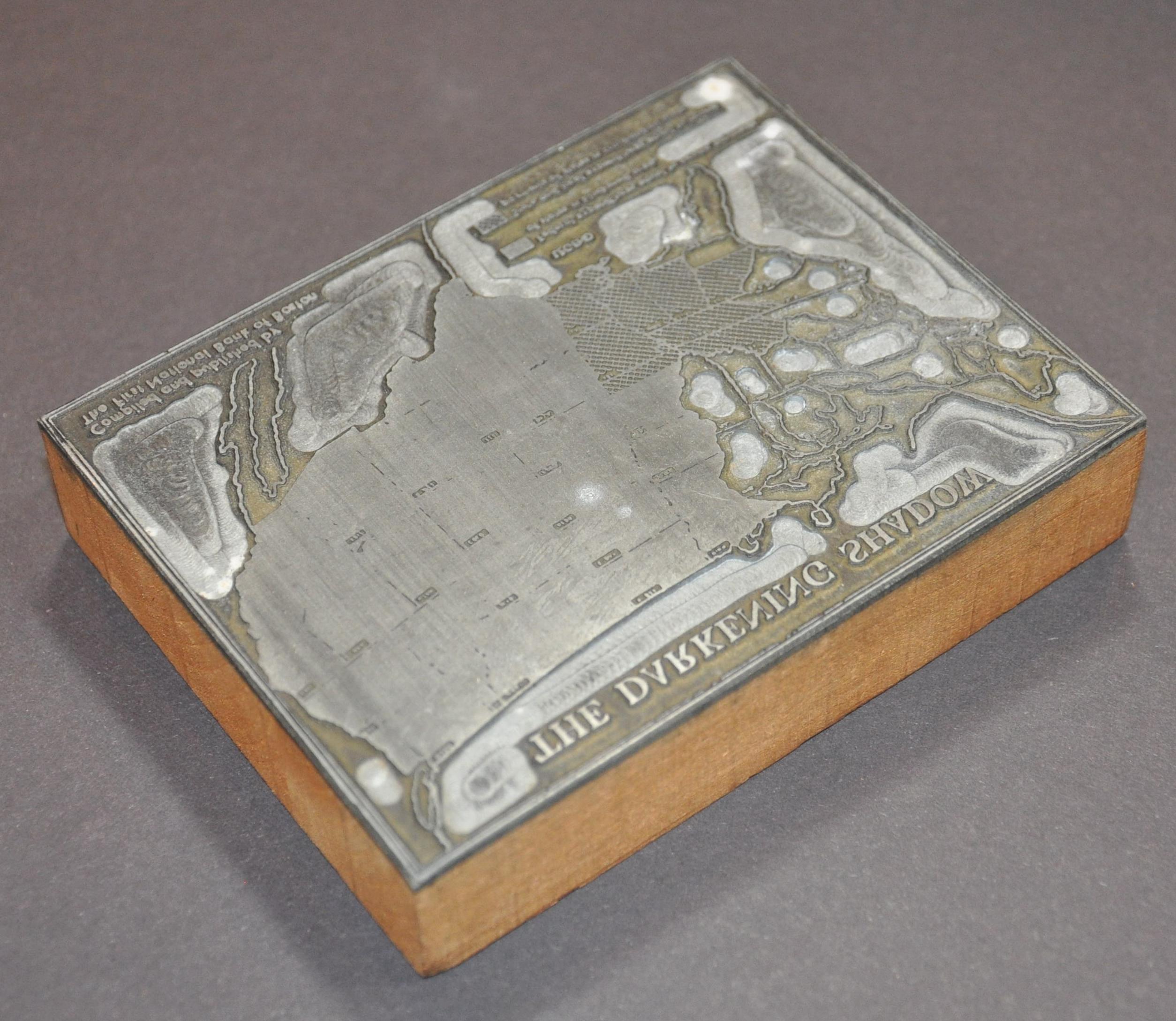
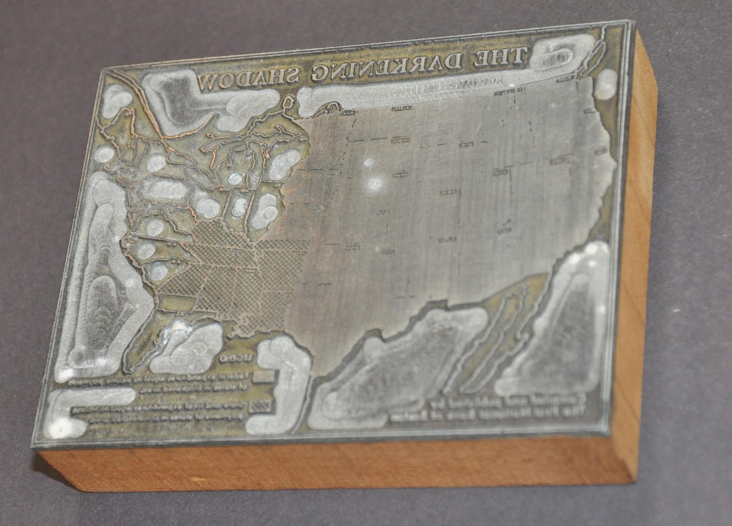
Description
This rare zinc printer’s block was likely created in the early to mid-1950s to mass-produce a map designed by the First National Bank of Boston. Ominously titled, ‘The Darkening Shadow’, the image shows nearly half of the United States in black – an area whose population’s income is equivalent to the federal budgetary spending.
The map was first introduced in 1938 and was updated with more ‘space’ as government spending grew in postwar years. As described in the popular 1954 book, How to Lie With Statistics;
“The deception lies in choosing states having large areas but, because of sparse population, relatively small incomes. With equal honesty (and equal dishonesty) the map maker might have started shading in New York or New England and come out with a vastly smaller and less impressive shadow.”
Source: Huff, Darrell. How to Lie with Statistics. New York [U.A.] Penguin Books, 1981.
Map Details
Publication Date: c. 1955
Author: First National Bank of Boston
Sheet Width (in): 4.25
Sheet Height (in): 3.25
Condition: A
Condition Description: Zinc and wooden printer's block with minor signs of wear and use. Some staining on the verso. Very good condition overall.
Out of stock