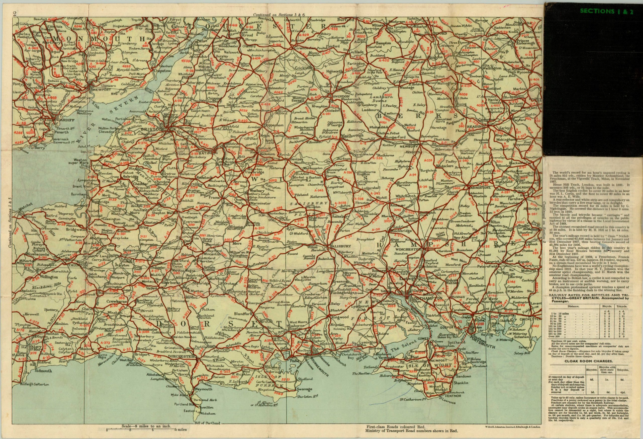
The Cyclist’s Pocket Touring Maps of Britain
$125.00
Useful set of pocket maps for cycling across Great Britain in the early 20th century.
Description
This convenient little set of maps provided the avid cyclist all the information they could need for a cross-country tour of the island of Britain. The front of the case is an index map, showing the specific areas covered by each of the fourteen sheets contained therein. Within the case are seven pocket maps, each double sided, showing the available routes (and corresponding quality), within that particular section. Accompanying each map is text providing useful information on cycling laws, campsites, bicycle repair notes, and accommodation fees. This set would have provided much leisure and amusement in the decade after the First World War, and these practical maps would likely still be of some use today!
Map Details
Publication Date: c. 1925
Author: F. J. Camm
Sheet Width (in): 17.5
Sheet Height (in): 12
Condition: A
Condition Description: The entire set is in excellent condition, with the original case and seven double sided folding maps. Some soiling and creasing along originally issued folds, but otherwise fine.
$125.00


