The Course of the Rhine from Mainz to Cologne
The 17th edition of a popular tourist map of the Rhine.
Out of stock

Description
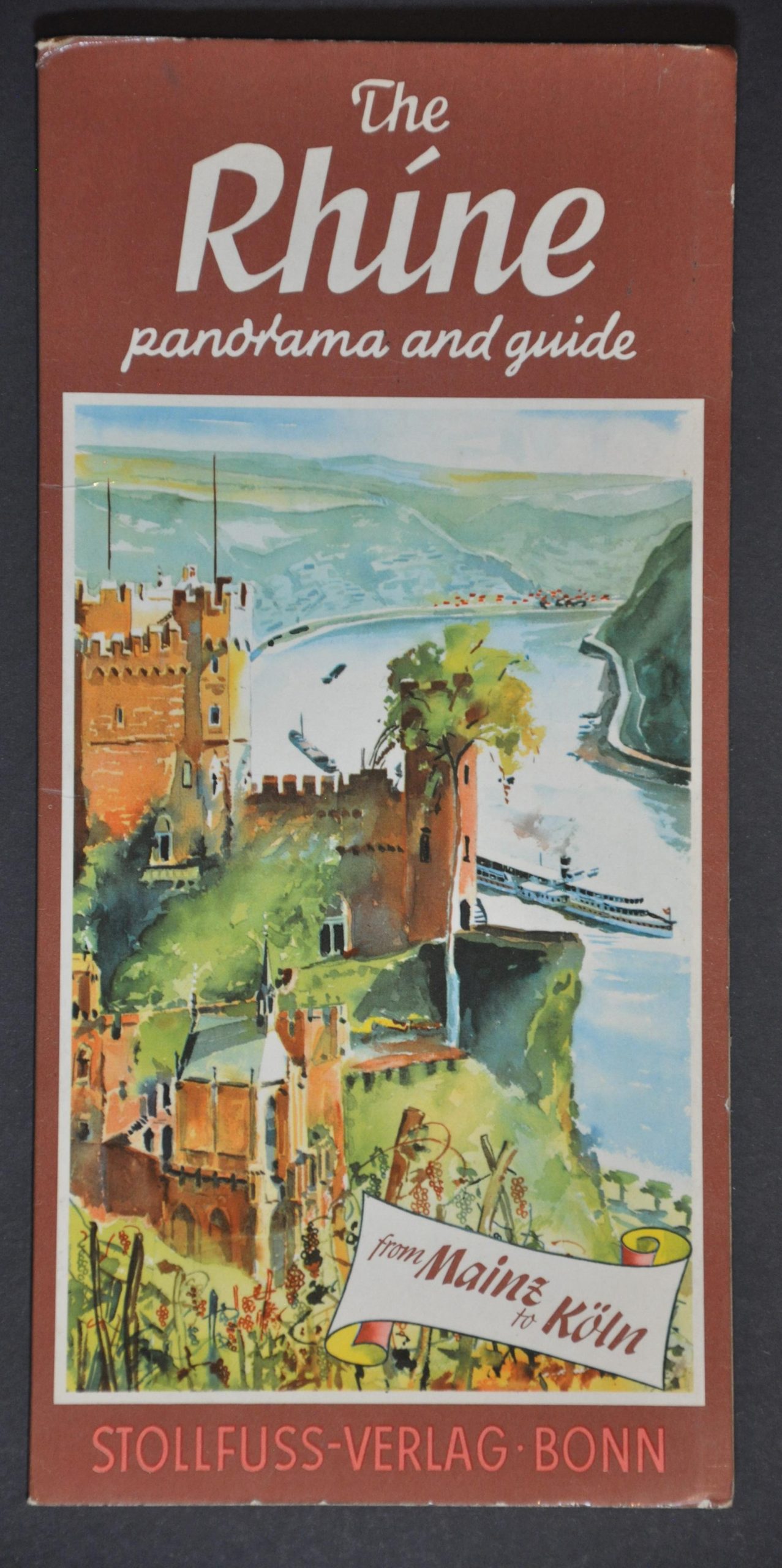
This beautiful pictorial map captures the course of Germany’s Rhine River between Cologne (top) and Mainz/Wiesbaden (bottom). Quaint villages, historic sites, and imposing castles punctuate the rolling landscape along the banks. Adjacent captioned illustrations highlight further locations of interest and local attractions, though the events of World War II are carefully omitted. The network of hiking trails and various locations maintained by the German Canoe Union (houses, stations, camps) are overprinted in red.
This is the 17th edition of the popular tourist guide, with cartography and copyright attributed to Wilhelm Stollfuss. Published in Bonn by the Institute of Cartography, with text translation provided by Dorothy Hill. Undated, but the updated population for Cologne (870,000) indicates it was likely issued in the 1970s.
Map Details
Publication Date: c. 1970
Author: Wilhelm Stollfuss
Sheet Width (in): 9.75
Sheet Height (in): 58
Condition: A
Condition Description: Long color strip map, folded accordion style into original illustrated paper covers. A bit of wear on the wraps, but the map remains in near fine condition overall.
Out of stock