The Confederate States of America
“The Lost Map of the Confederacy”
Out of stock
Description
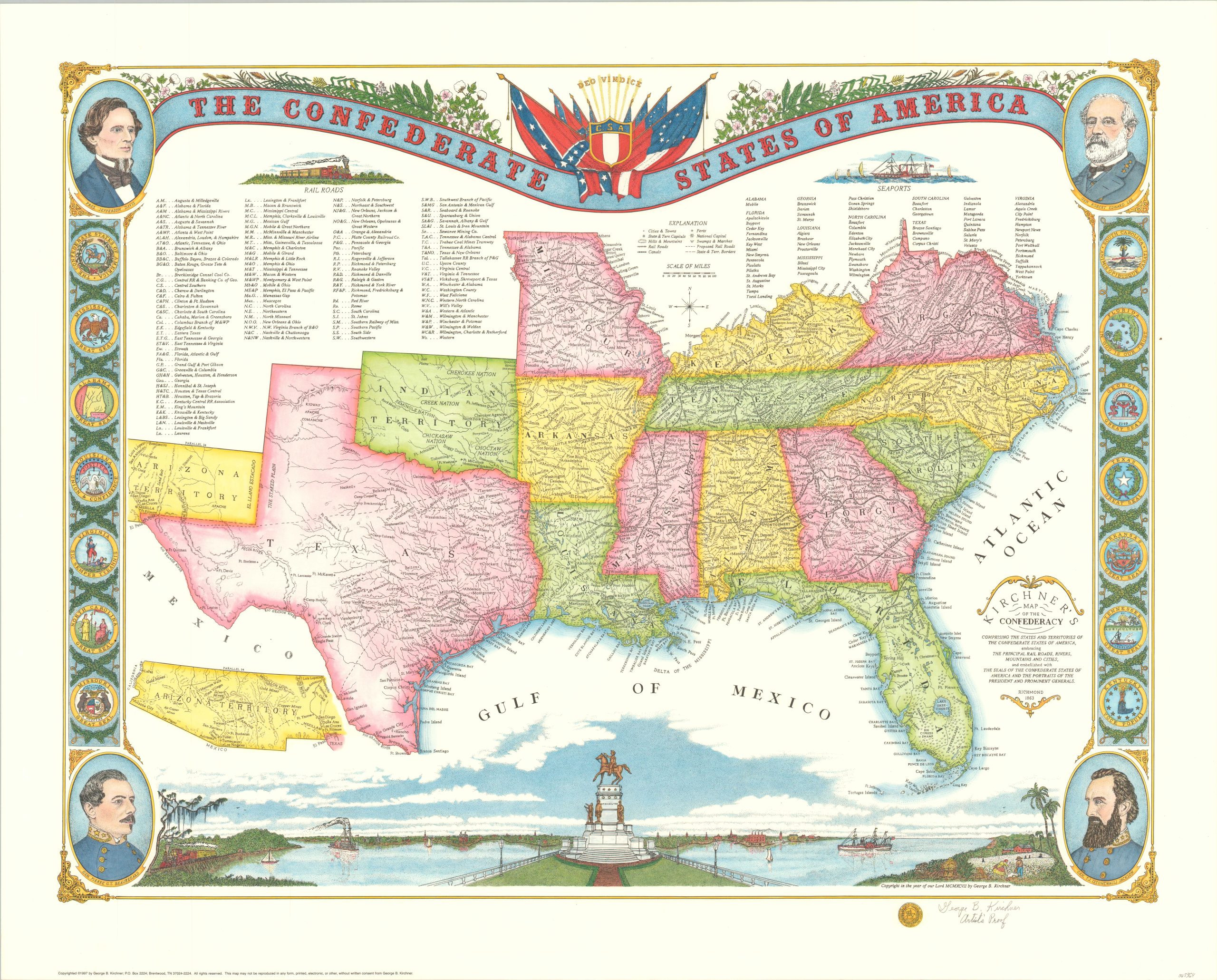
This attractive map of the southern United States was designed in 1997 by Tennessee artist/historian George Kirchner to provide an allegedly untold perspective of the Confederate States of America. It shows the borders of the C.S.A. to its maximum planned extent in 1863, “or as it would have existed without interference by the Union military”, according to the accompanying description.
The ambitious ‘nation’ includes 3 of 4 border states that never seceded and the vastly underpopulated Indian and Arizona Territories. Railroads, forts, and seaports are also presented in a way very favorable to the rebels.
This is the Imperial Artist Proof, limited to 63 copies, signed by the artist near the Confederate Seal in the bottom right.
Map Details
Publication Date: 1997
Author: George Kirchner
Sheet Width (in): 31.25
Sheet Height (in): 25
Condition: A
Condition Description: Near fine condition, with accompanying description, original receipt, and order form.
Out of stock

