The Columbian World’s Fair Atlas
Custom atlas compiled for distribution during the Columbian Exposition.
Out of stock


Description
This unusual and uncommon volume appears to have been published anonymously on behalf of Smith & Throop, a general merchandise company then operating in Crystal Lake Station, Illinois – about 50 miles northwest of Chicago via rail. Part U.S./world atlas, part story of the Columbian Exposition, the book is indicative of the commercial enterprise that developed in various forms to capitalize on the 1893 World’s Fair.
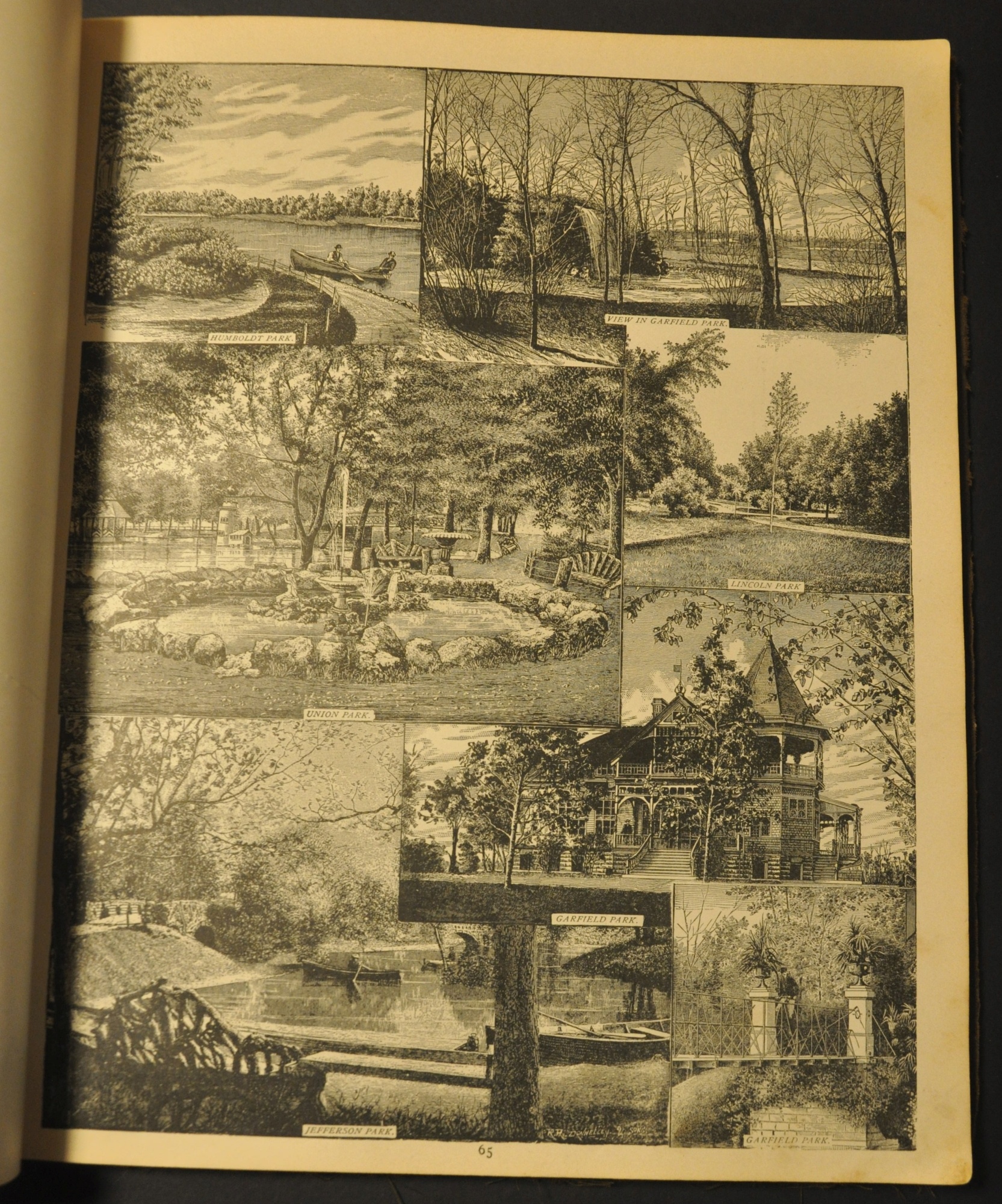
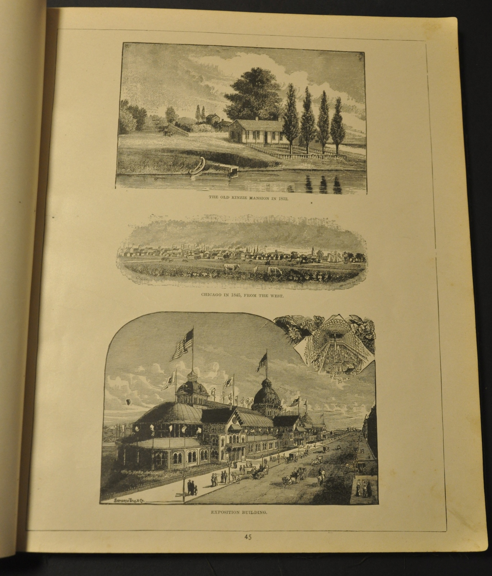
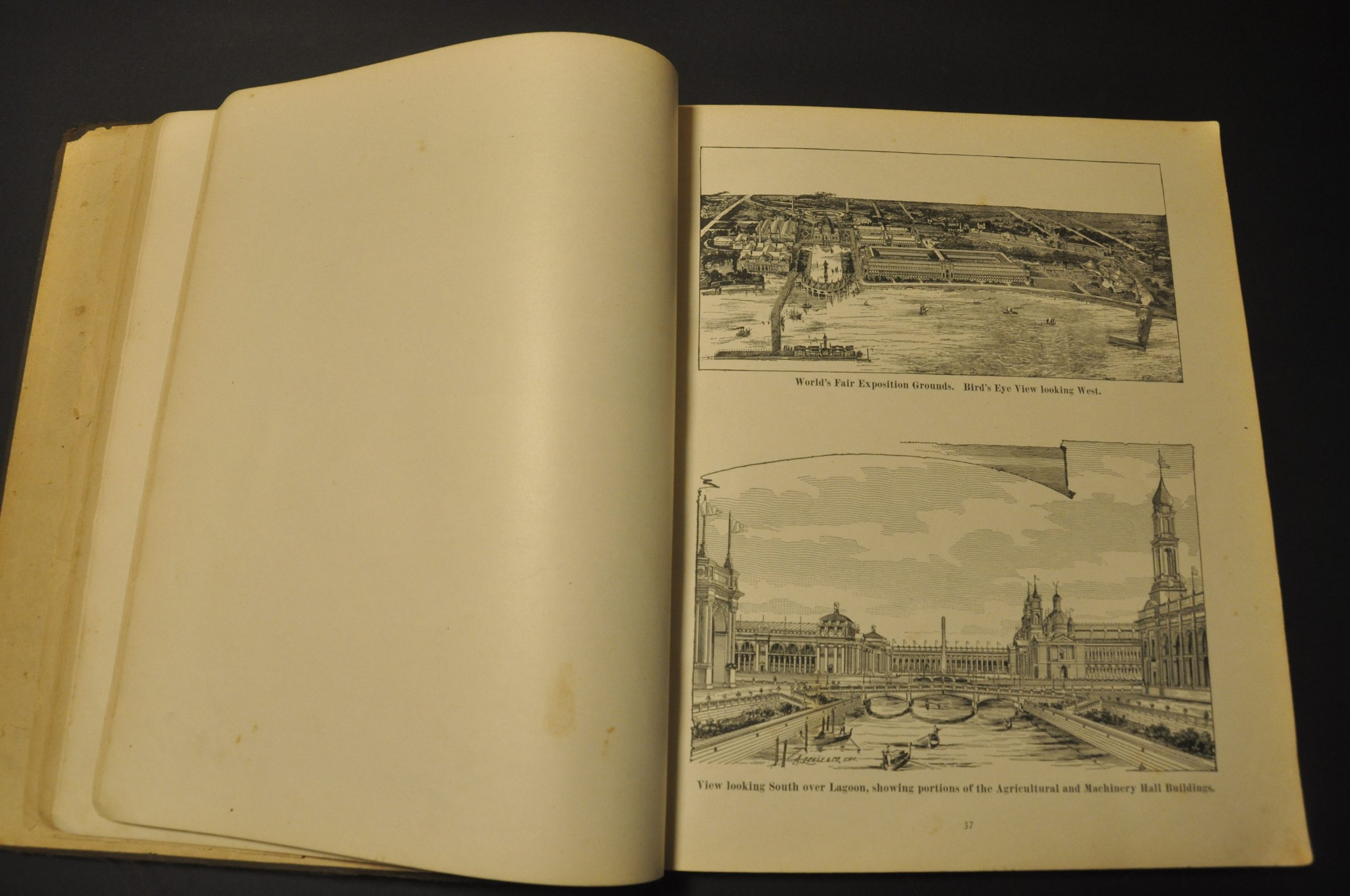
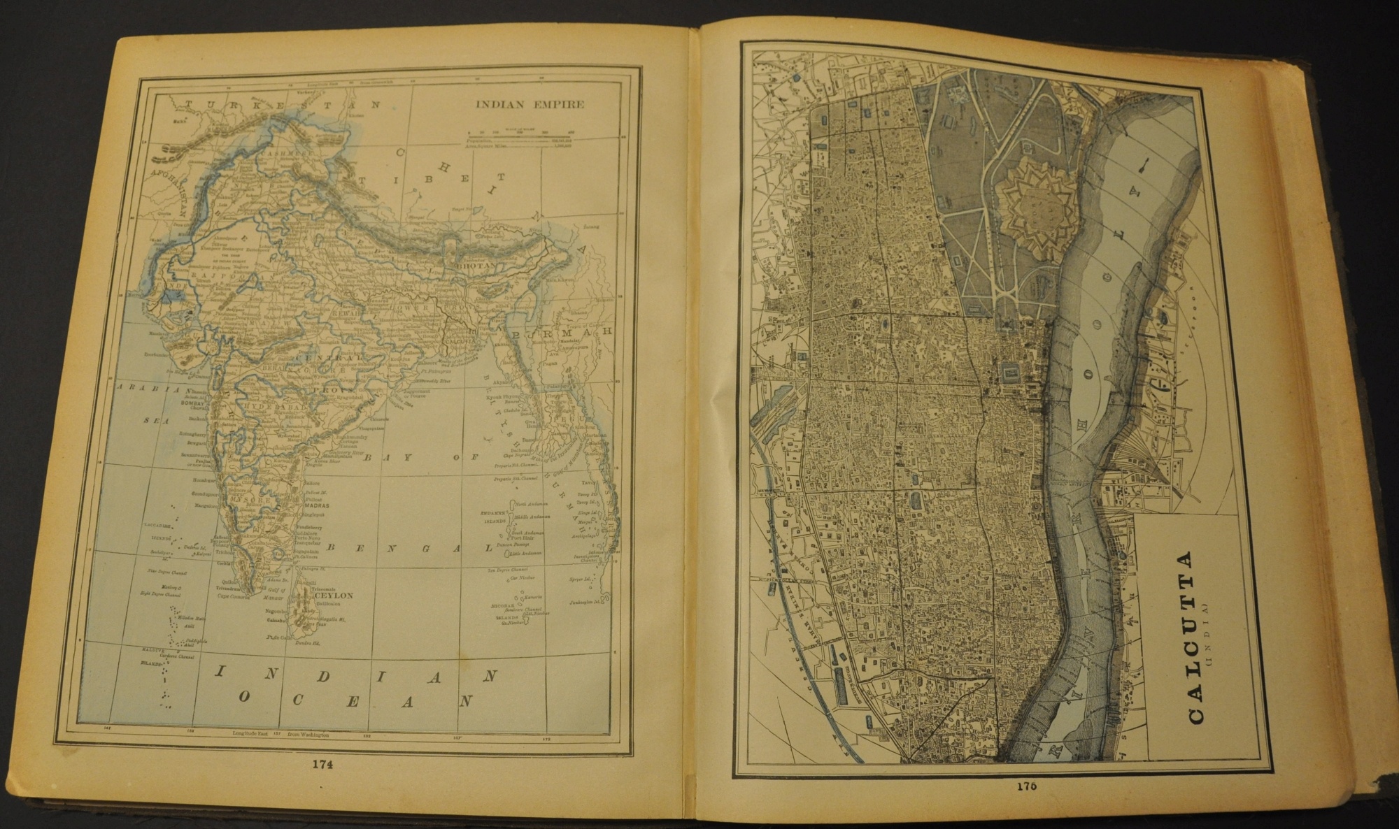
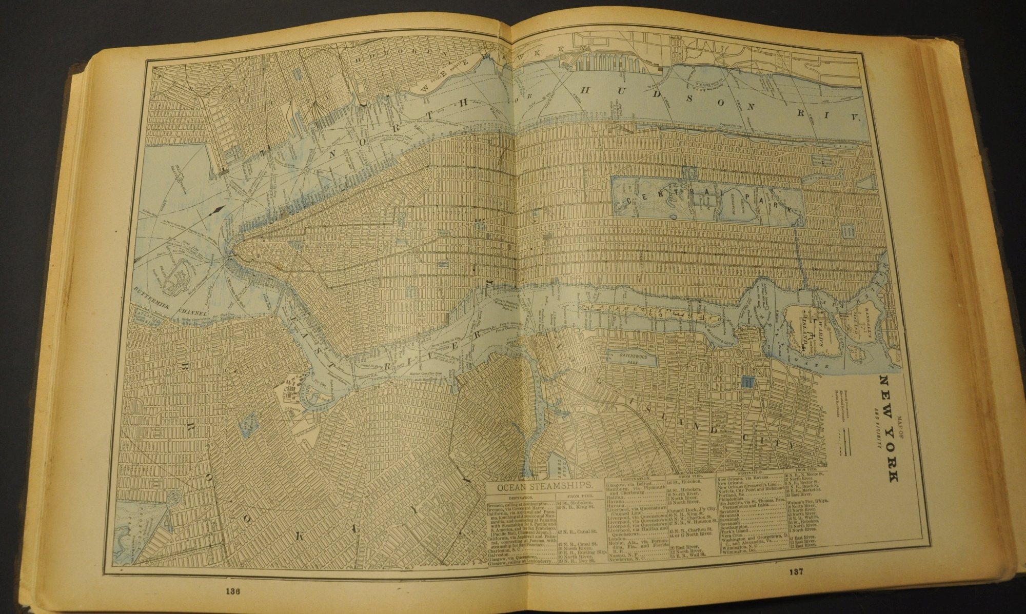
A diagram of the fairgrounds, images, and descriptions of the primary buildings, and numerous views of the city, its landmarks, and its history are included in the first half. Also of interest are railroad advertisements and a table showing populations and distances to Chicago for major cities across the country. Immediately following are 95 lithographed maps covering every U.S. state, each continent, dozens of countries, and numerous city plans (both single and double-page).
Map Details
Publication Date: 1893
Author: Smith and Throop
Sheet Width (in): 11.5
Sheet Height (in): 13.5
Condition: B
Condition Description: 192 pp. atlas bound in original cloth covered boards with old black tape spine and hinges. Contents are moderately toned and soiled, with discoloration and small chips around the outer edges. 79 pages are dedicated to the Columbian Exposition, while the remaining pages are all maps and charts (96 total). In good condition with the exception of the unfortunate binding.
Out of stock