
The coastline 100 km northward from Ammassalik, East Greenland
An unusual replica of Inuit coastal references.
Out of stock
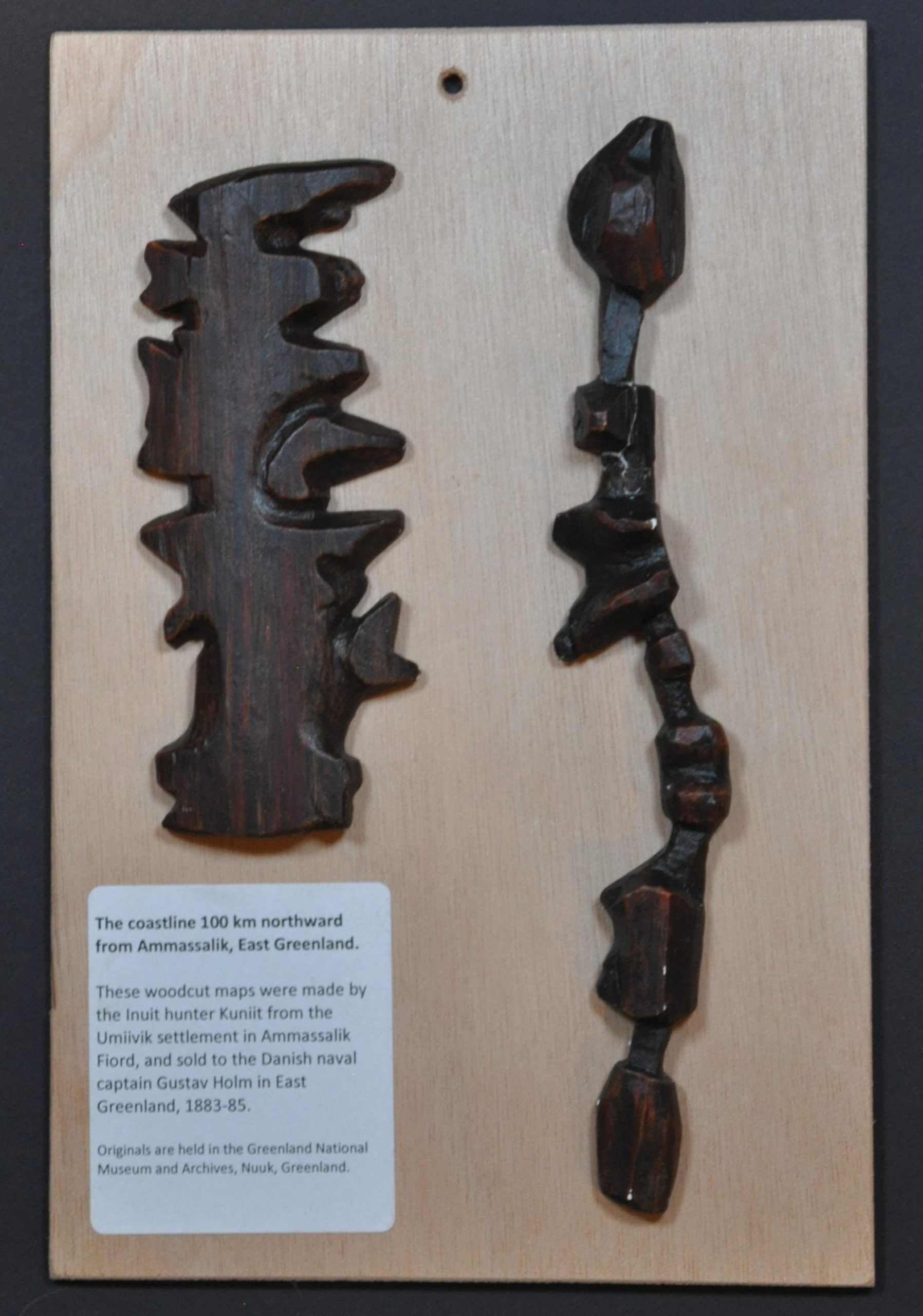
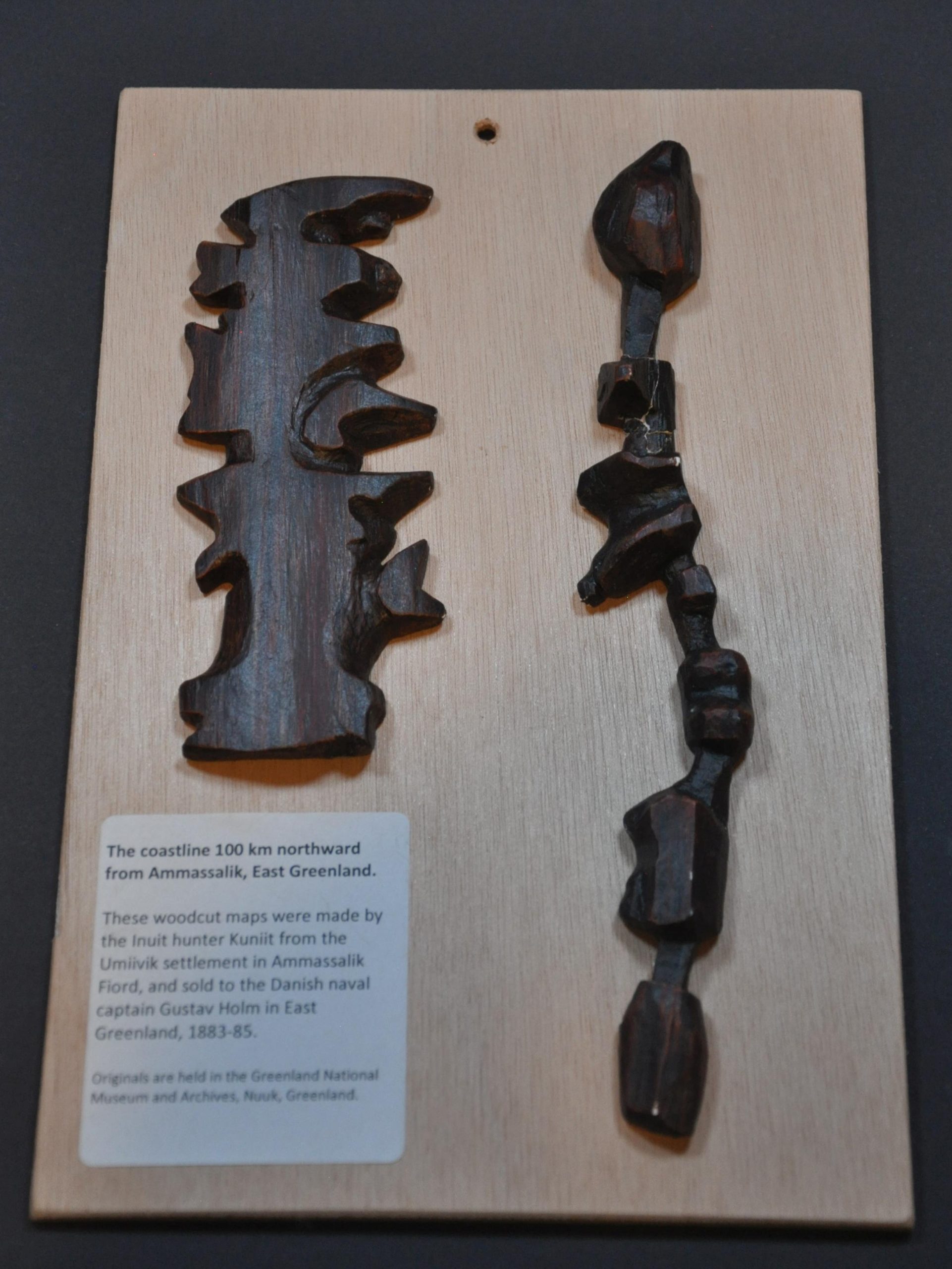

Description
“These woodcut maps were made by the Inuit hunter Kuniit from the Umiivik settlement in Ammassalik Fjord, and sold to the Danish naval captain Gustav Holm in East Greenland, 1883-1885. Originals are held in the Greenland National Museum and Archives.”
This interesting plaster replicaa of Inuit coastal references were crafted by Jeppe Mohl, retired conservator in the Zoological Museum of the University of Copenhagen. A color printed map on the verso of the display board shows highlights the accuracy with which the original wooden carvings were created. Distributed to registrants at the 23d International Conference on the History of Cartography held in Copenhagen in 2009.
Map Details
Publication Date: 2009
Author: Jeppe Mohl
Sheet Width (in): 6.60
Sheet Height (in): 10.20
Condition: B
Condition Description: Two painted plaster/wire replicas glued to a wooden board. Printed color map affixed to verso. The right example shows several repairs and chips. About good condition overall.
Out of stock