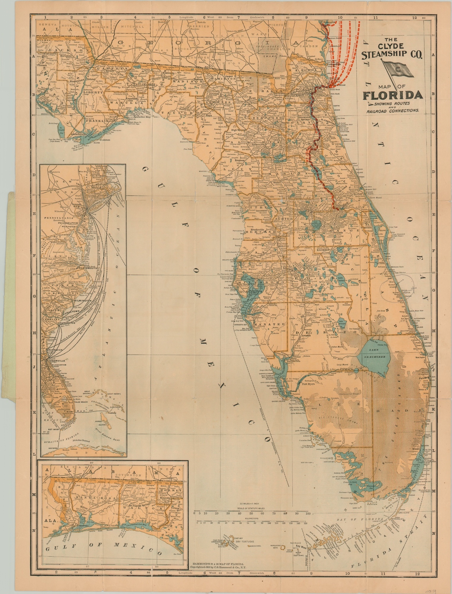
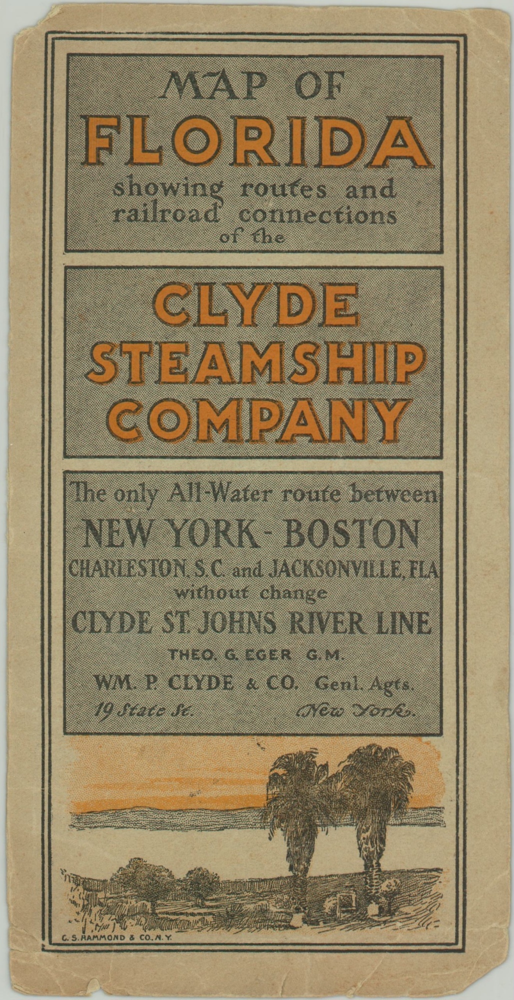
The Clyde Steamship Co. Map of Florida
$315.00
Escape from New England’s frigid winters by taking the Clyde Steamship Lines to Florida!
1 in stock
Description
This tremendous pocket map of Florida shows the relatively disparate settlement of the state in the early 20th century. Heavily populated counties (itself a loaded term) are confined to the northern end and panhandle. Only a handful of railroads extend into the southern regions, and these generally hug the coast.
Red lines show the operating routes of the Clyde Steamship Company from Boston, New York, Charleston, and New Brunswick. The lines merge at the mouth of the St. John’s River to provide ‘the only All-Water route’ between the aforementioned departure points and Jacksonville, Florida. Other steamship lines in operation are also noted, especially in the inset map of the Atlantic seaboard (center left).
Published in New York by C.S. Hammond & Company in 1903 and issued by the Clyde Steamship Company.
Map Details
Publication Date: 1903
Author: C.S. Hammond & Co.
Sheet Width (in): 16.75
Sheet Height (in): 22.6
Condition: B
Condition Description: Thin, brittle paper has separated along the majority of the creases, resulting in heavy repairs with archival tape on the verso. Only a few small spots of image loss at fold intersections. Original back cover remains affixed to the verso. Front cover is separated but present.
$315.00
1 in stock