
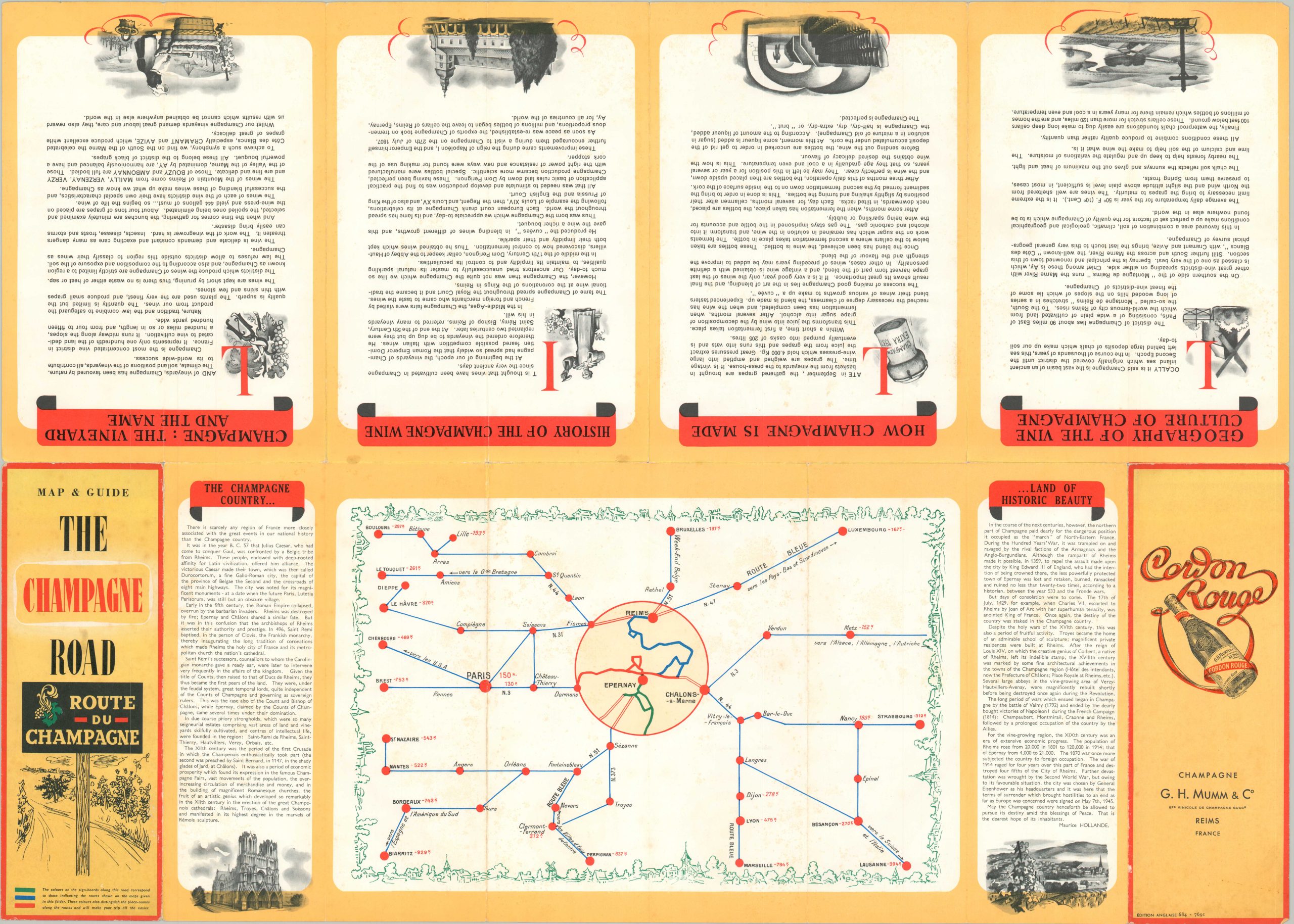
The Champagne Road [Title on Verso]
$110.00
English edition of a road guide through France’s Champagne country.
1 in stock

Description
Take a trip (or three!) through France’s Champagne region with this easy-to-read road map, published in the late 1960s. Sub-prefectures, wine-producing towns, and individual vineyards are labeled across a wide region south of the city of Reims, the provincial capital and historic coronation site. Splashes of green show the vast amount of land dedicated to growing the delicate grapevines.
Three separate routes – Blue, Green, and Red – are recommended and highlighted throughout the image and described in each corner. Informational text on the history of the Champagne region and how the wine is made can be found on the verso, along with a diagrammatic railroad map showing primary lines across eastern France and an advertisement for G.H. Mumm & Co’s Cordon Rouge.
Published around 1968 in Paris by P.R. Waltz and M. Puget on behalf of the Comite Interprofessional du Vin de Champagne, a government-supported trade organization that oversees local production, marketing, and distribution of the bubbly wine.
Map Details
Publication Date: c. 1968
Author: P.R. Waltz and M. Puget
Sheet Width (in): 28.5
Sheet Height (in): 20.4
Condition: A-
Condition Description: Moderate wear and creasing along originally issued fold lines. Tiny holes at fold intersections and small areas of separation along the outer edges of the sheet. Faint scattered spotting visible in the lower right, in the 'Green Route' text box. Good to very good condition overall.
$110.00
1 in stock