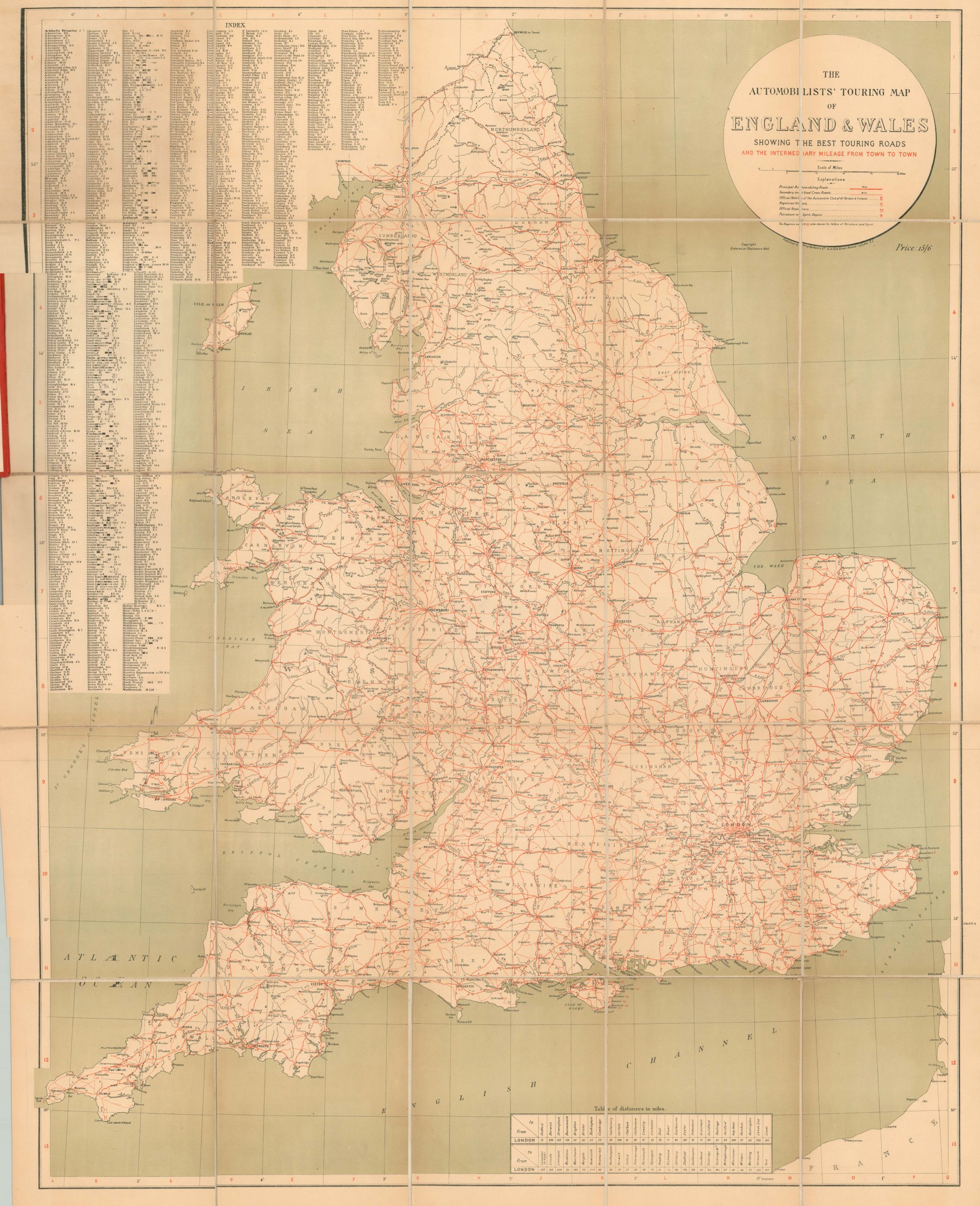
The Automobilists’ Touring Map of England & Wales Showing the Best Touring Roads and the Intermediary Mileage from Town to Town
$200.00
Large folding map showing the best roads throughout England and Wales from the early 1920’s.
1 in stock
Description
This simple, yet refined, case map of England and Wales highlights the ‘principal automobiling roads’ throughout the two countries. Secondary and good cross roads are also shown in red, with mileage between various points helpfully provided along each route. Further distances are listed in a table at the bottom of the sheet, and an index of towns and cities covers most of the upper left.
Amenities for the intrepid motorist are also noted where applicable; including repairers (mechanics), petroleum depots, registered hotels and official hotels of the Automobile Club of Great Britain and Ireland. The inclusion of the last makes dating the map a little tricky, as the organization was officially renamed the Royal Automobile Club in 1907. A further date, 1904, is noted on the front cover. Other sources date this map to the first decade of the 20th century as a result, but I believe the 19-21 in the publisher’s stamp refers to the year of printing.
Map Details
Publication Date: 1921
Author: Terry Herbert & Co.
Sheet Width (in): 34.75
Sheet Height (in): 44.5
Condition: A-
Condition Description: Dissected into 25 panels and mounted onto linen. Faint discoloration on the sheet along the panel folds and overall slightly toned. Affixed to original gilt red covers with a broken spine.
$200.00
1 in stock

