The Aristocrat
One of the longest strip-style road maps ever commercially produced!
Out of stock
Description
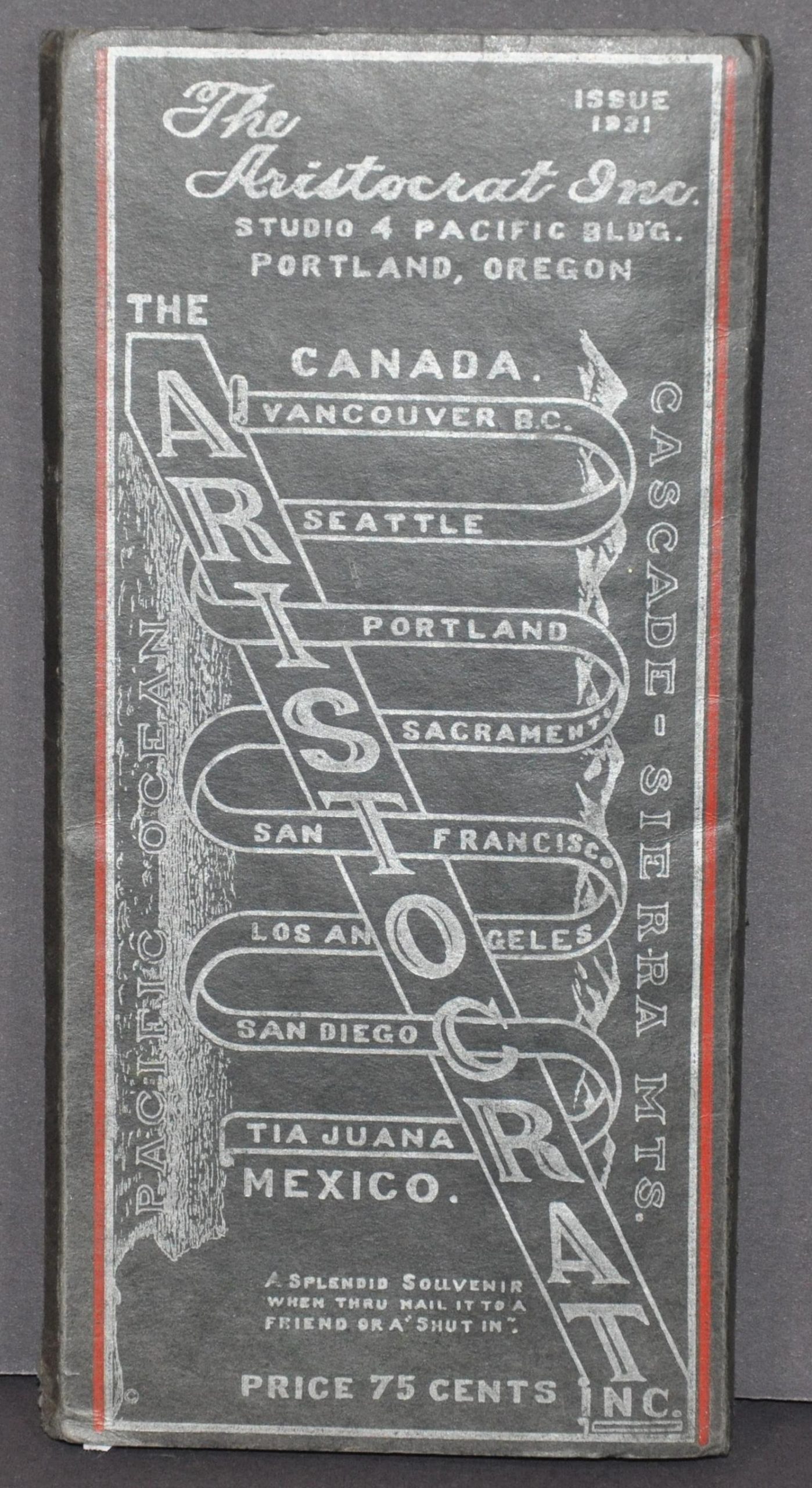
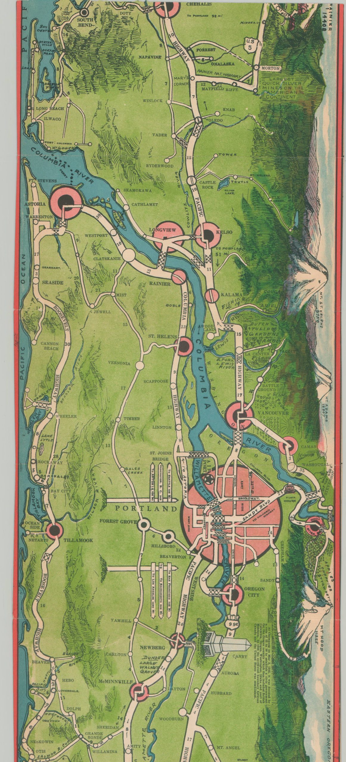
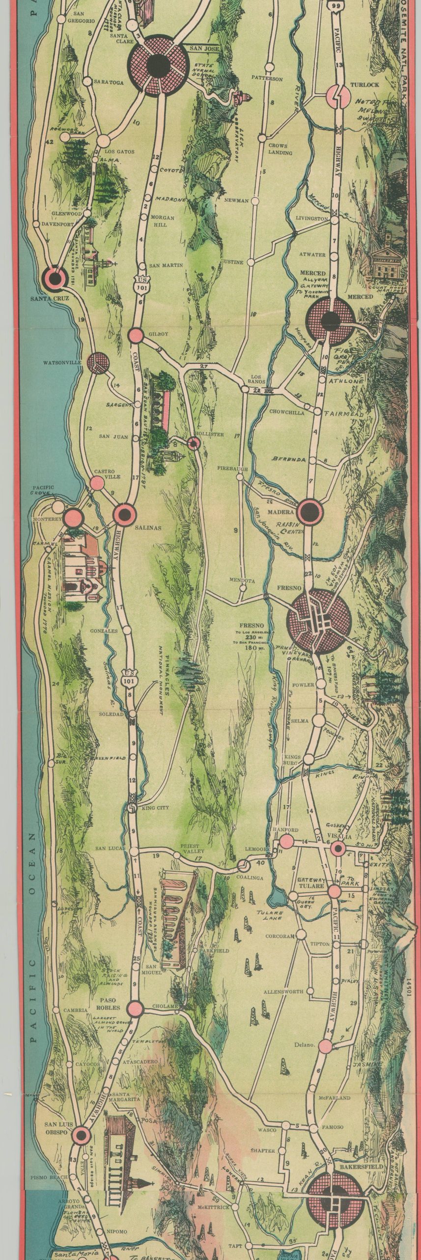
This incredibly long strip map – nearly 16 feet in length – was published in 1931 in Portland, Oregon by the Aristocrat, Inc. According to the verso of the sheet, the firm’s name “seemed to be the best existing word to describe our ideals…We aim to produce the best that is possible in road maps, aristocrats of the road map publications.” For a mere 75 cents (no small change in the midst of the Great Depression), one could purchase an incredible keepsake that covers the primary highway routes along the West Coast of North America between Vancouver in British Columbia and Tijuana, Mexico, and from the Pacific Ocean to the Cascade-Sierra Range. Although instructions for use are provided while on the road (risky, perhaps?), the impressive compilation was also suitable as “a splendid souvenir when thru mail it to a friend or ‘shut in’, according to the front cover.
The marvelous color lithographed map folds accordion style into thick black paper covers. Each panel presents a vibrant and legible overview of the primary roads, with distances between points noted. Topography is illustrated pictorially, along with vignettes representing major locations of interest, notable geographic features, local industries, historic sites, and much more. Recreational opportunities are presented in the form of hunting and fishing spots, resorts, and hiking trails. Urban centers are depicted as abstract street grids and clever ‘sign posts’ provide handy references to major cities.
Unbelievably, the verso of the sheet is almost as impressive as the recto. Each individual segment contains photographs and descriptive text of recommended accommodations and sites of interest in the geographic region immediately opposite. For example, images of the Huntington Library and an airplane view of the Hollywood Bowl are visible on the verso of the map segment containing Los Angeles. These include advertisements from sponsors, whose financial support would have been critical to the publication of such an impressive piece. “Only through the splendid support and co-operation of the recognized reliable concerns, whose advertising appears, interspersed with views, on the back of this map, has it been possible to produce it.” [verso]
Though it appears that efforts were made to produce a follow-up to the 1931 edition (according to text on the verso), there is only one version of The Aristocrat. According to Buckingham Books;
“Frederick Ehman, owner of the Tourist Map Publishing Co. of Portland, Oregon, designed and sold a number of souvenir pictorial maps for many different areas in the West. However, The Aristocrat was a much larger version than any others he had previously published. He teamed up with the photographer and postcard publisher, Frank Patterson, in order to include 100s of historic and business photographs on the back, for which the represented businesses and tourist locations paid advertising fees.”
The map is uncommon, despite being issued in some quantity. OCLC shows 7 examples as of November 2022.
Map Details
Publication Date: 1931
Author: The Aristocrat, Inc.
Sheet Width (in): 201
Sheet Height (in): 9
Condition: B+
Condition Description: Exceptionally long strip map folded into segments and affixed to stiff black wraps. Three spots of complete, but clean, separation have been repaired and reinforced on the verso with archival material. Several other panels also have areas of separation repaired, though there is no image loss. A good example overall.
Out of stock


