
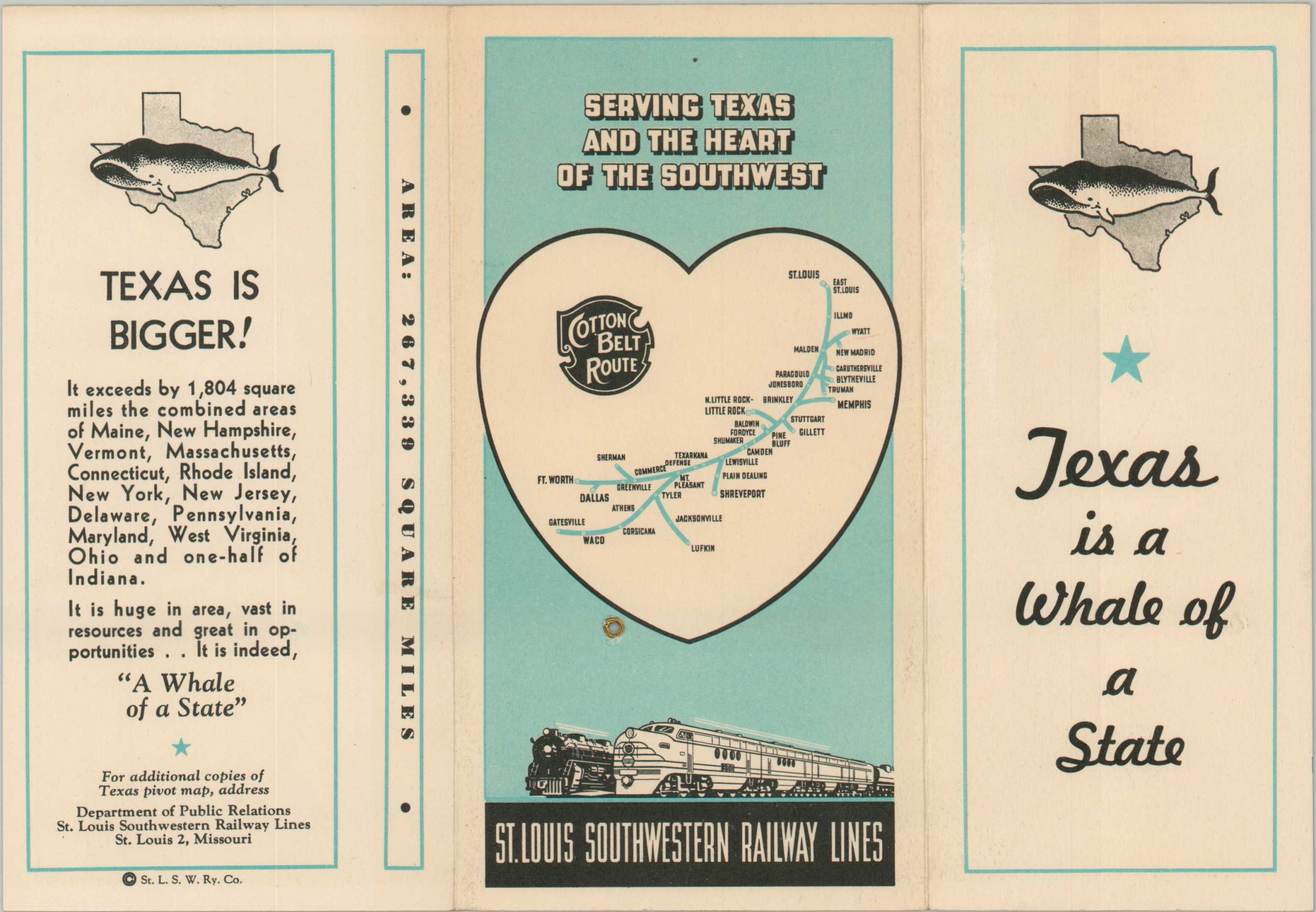
Texas is a Whale of a State
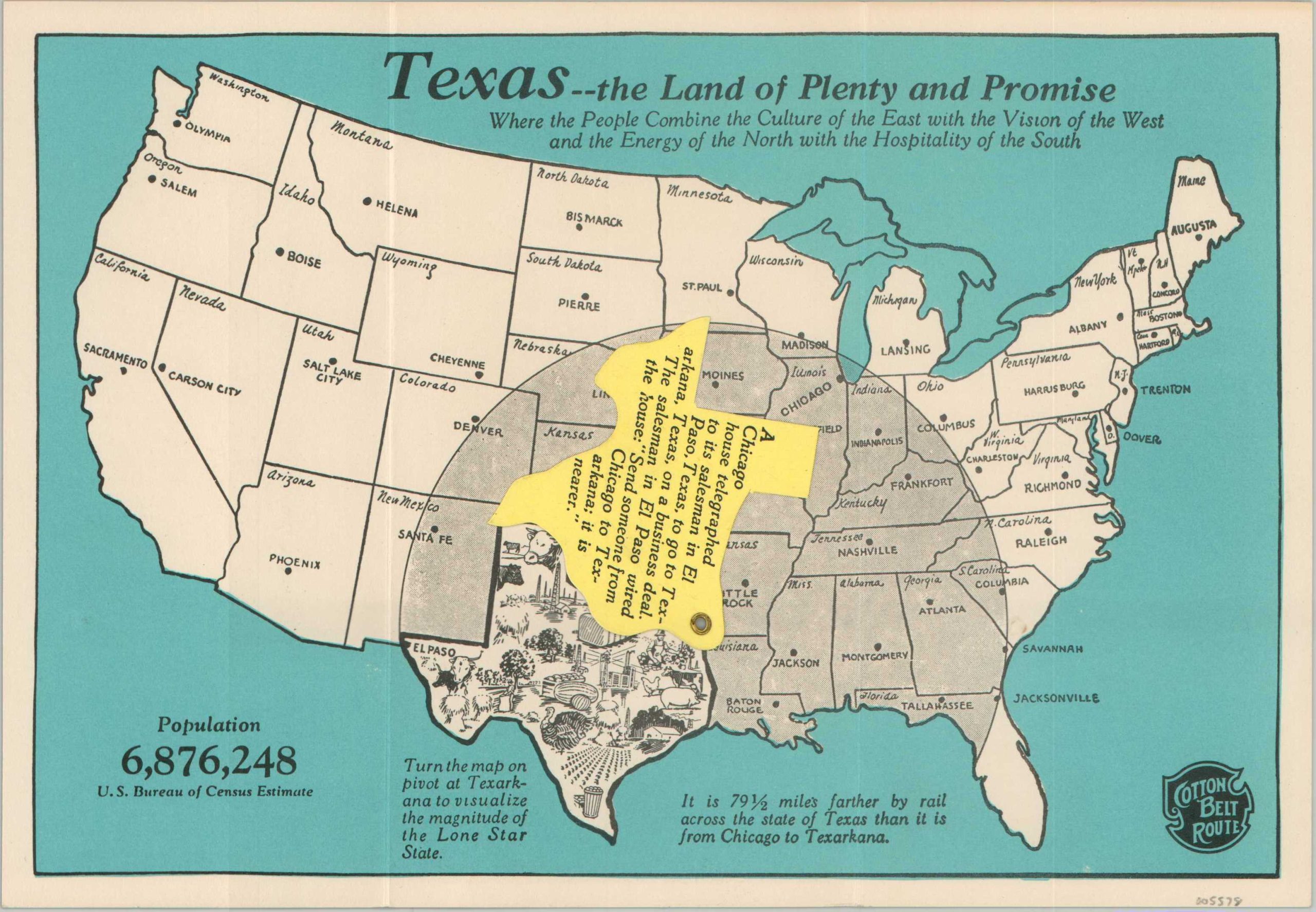
“It is 79 1/2 miles farther by rail across the state of Texas than it is from Chicago to Texarkana.”
Out of stock
Description
“Texas – The Land of Plenty and Promise. Where the People Combine the Culture of the East with the Vision of the West and the Energy of the North with the Hospitality of the South.”
This clever promotional brochure was issued by the St. Louis Southwestern Railway Lines to encourage ridership and commercial investment along the Cotton Belt Route to Texas. A simple map of the United States is largely occupied by a semi-circular shaded area that helps to visualize ‘the magnitude of the Lone Star State’ by pivoting a cut-out of the physical border. Underneath is a small pictorial highlighting the state’s industrial and agricultural output.
A simple map of the Cotton Belt Route between St. Louis and Dallas is provided on the verso, along with additional comparisons about the size of Texas. Date estimated using the population provided (6,876,248).
Map Details
Publication Date: c. 1944
Author: St. Louis Southwestern Railway Lines
Sheet Width (in): 10.4
Sheet Height (in): 7.1
Condition: A
Condition Description: Tri-panel folding brochure with a cutout of Texas that rotates along a brass rivet. Near fine condition overall.
Out of stock