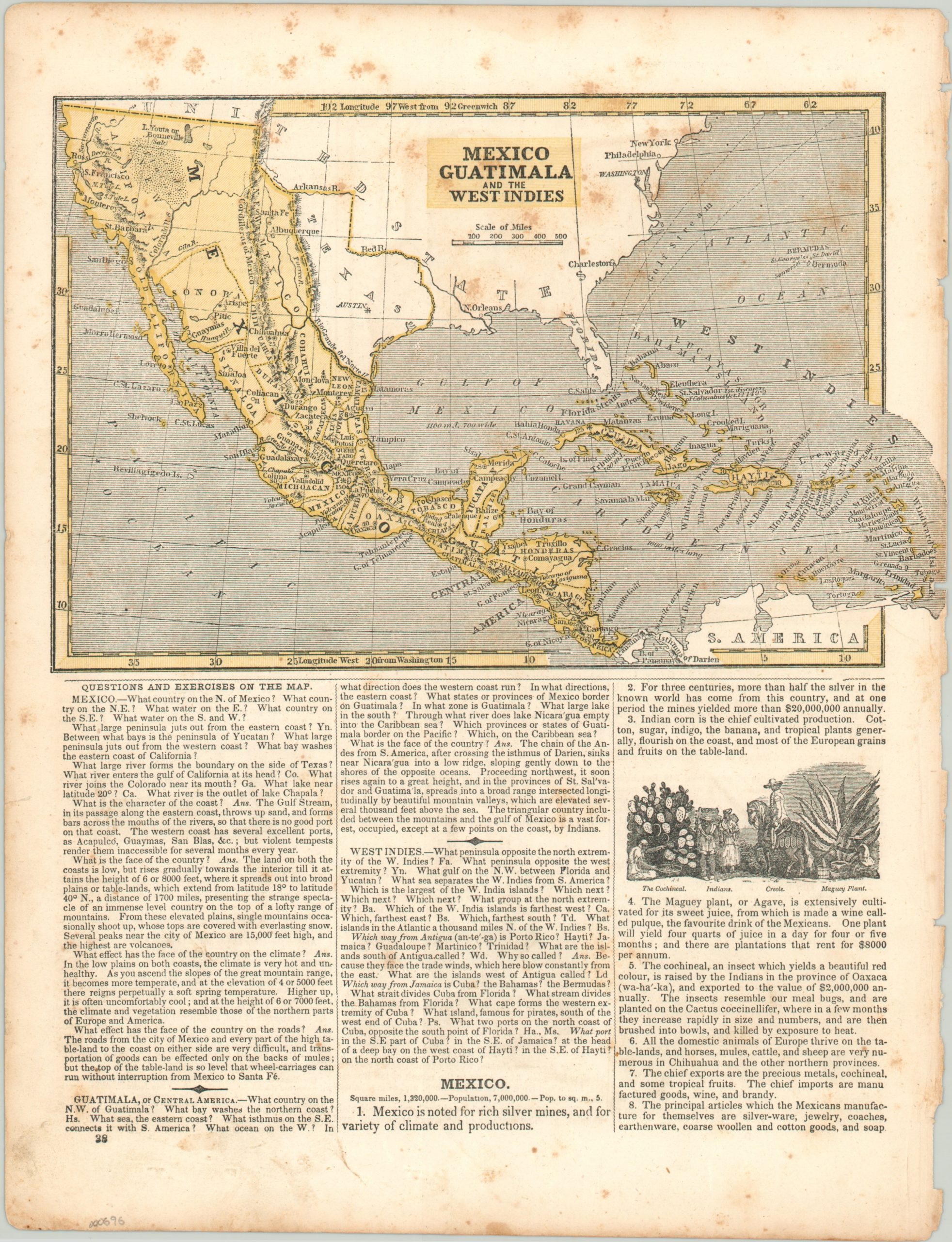
Texas [and] Mexico, Guatimala and the West Indies
$175.00
Map of an independent Republic of Texas and the Caribbean designed for inclusion in a geographic textbook.
Description
This double-sided sheet, issued in a juvenile geographic atlas by the American geographer Sidney Morse (brother to the more famous Samuel Morse), includes a map of Mexico, Central America, and the West Indies and a map of independent Texas. It was issued in 1845, and reflects the greatest territorial expanse of an independent Mexico shortly before the war that would see the country lose much of its northern territory to the United States.
Texas is depicted in a stove pipe configuration on both maps, although the northernmost extension is omitted from the large scale map. Text accompanying the maps makes for interesting historical commentary, as it was designed as a geographic lesson plan.
Map Details
Publication Date: 1845
Author: Sidney Morse
Sheet Width (in): 9.25
Sheet Height (in): 12.10
Condition: C
Condition Description: The sheet has been disbound from an atlas and has a corresponding ragged edge from the binding. Wear and moderate foxing throughout the entire sheet. The maps remain clean and intact, with full margins along the edge of the sheet.
$175.00


