
Terre de Fils de Chanaan
$145.00
A scarce map of the Holy Land by Nicholas Sanson’s grandson.
1 in stock
Description
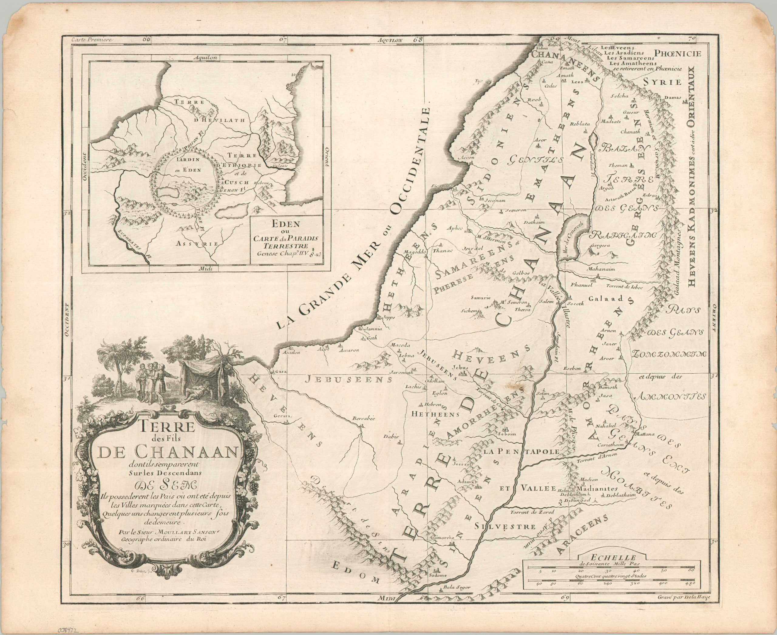
This interesting antique map of the Holy Land presents the Land of Canaan, divided according to the descendants of Shem (Semites). Various settlements (established following the Biblical flood) and geographic features are labeled, including Sodom/Gomorrah, the Jordan River, Jerusalem (Jebus), and the Sea of Galilee (Mer de Cenereth). An inset in the upper left presents the theorized location of the Garden of Eden, near the headwaters of the River Tigris.
The map was published in Paris around 1712 by Pierre Moullart-Sanson. Pierre-Moullart inherited the plates of his grandfather (and renowned Royal French Geographer) Nicholas Sanson, added the surname, and tried his professional hand at cartography. He was unsuccessful, making his imprints rather uncommon on the market.
Map Details
Publication Date: c. 1712
Author: Pierre Moullart-Sanson
Sheet Width (in): 18.60
Sheet Height (in): 15.20
Condition: A-
Condition Description: Copperplate engraved map on a sheet of laid, watermarked paper. Moderate marginal toning and wear and a small stain in the center right, about .5" long. Some faint discoloration in the lower half of the plate from the print strike. Good to very good condition overall.
$145.00
1 in stock