Tentative Technical Manual Use of Foreign Maps
$50.00
An American guide to reading French, Danish, Dutch, and British maps during World War II.
1 in stock
Description
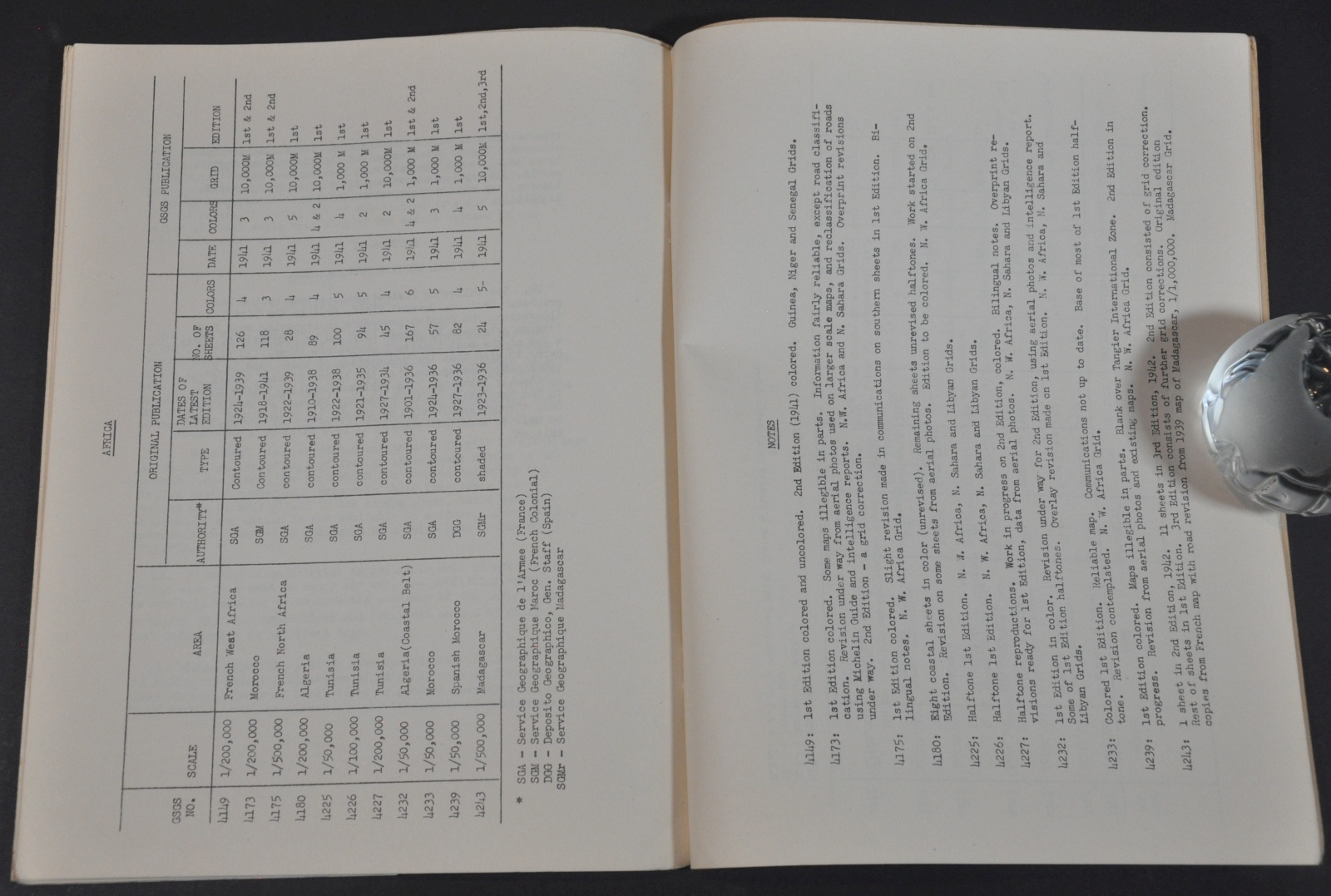
This wartime manual was published in November of 1945 by the United States War Department in Washington, D.C. It was designed as a primer to assist American troops in both European and Pacific Theaters with reading the topographical maps published by various Allied nations.
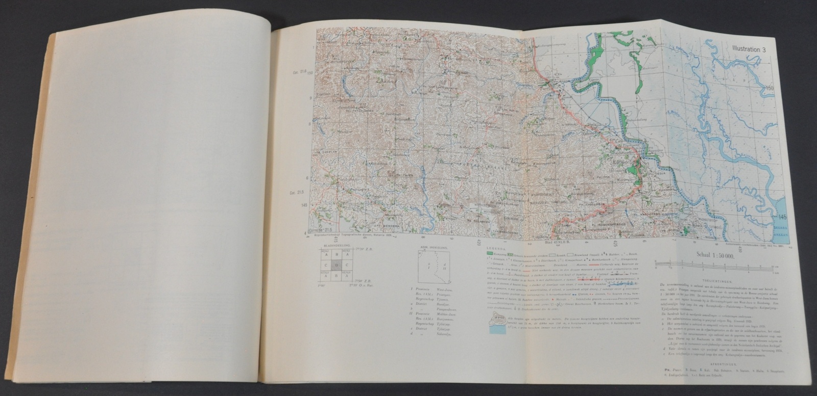
Five fold-out examples are included, along with a wealth of instructive information on distances, scales, elevation, and more.
Map Details
Publication Date: 1942
Author: U.S. War Department
Sheet Width (in): See Description
Sheet Height (in): See Description
Condition: A-
Condition Description: 14 pp. booklet, approximately 8" x 10.25", with adhesive binding and brown paper covers. Contents in very good to near fine condition and include five fold-out maps.
$50.00
1 in stock


