
Tabula Thraciae
$300.00
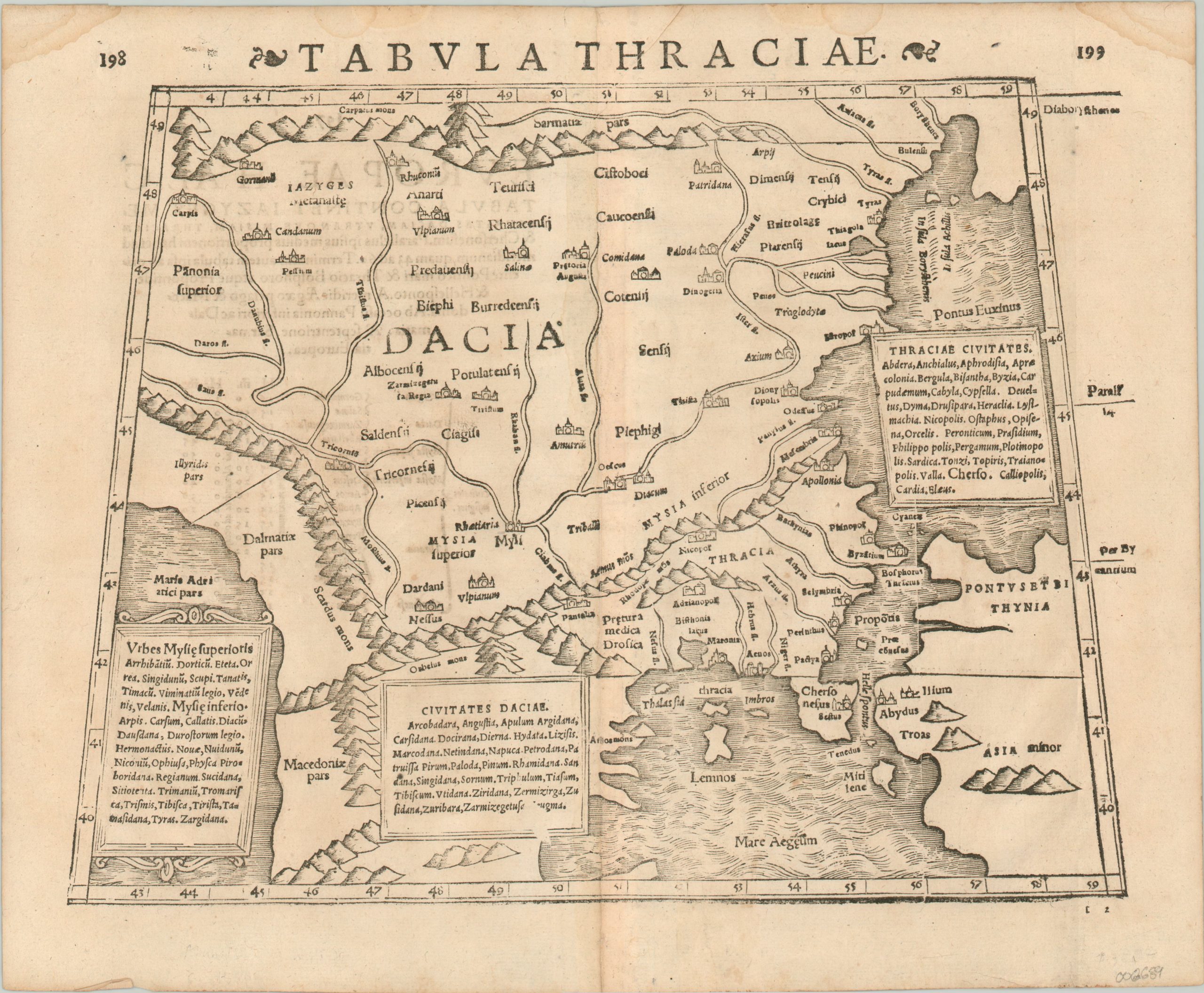
A 16th century map of the 2nd century Balkans.
1 in stock
Description
This incredible mid-16th century woodcut map covers a broad area across modern day Greece, Turkey, and the Balkans; from the Adriatic Sea (lower left) to the Black Sea (upper right). The image is based upon the works of the Greek scholar Claudius Ptolemy.
The place names, tribes, and regional distinctions reflect Ptolemy’s original works from the 2nd century, at which time the area was part of the Roman and Persian Empires. Byzantium is labeled on the Bosporus, and three tables list the primary tribes or cities in the regions of the Thrace, Dacia, and Mysie Superioris.
The map was issued around 1550 by Sebastian Munster, a German cartographer who was one of several Europeans who reproduced Ptolemy’s works in the 15th-17th centuries. At the time of publication, the region reflected the height of the Ottoman Empire under Suleiman the Magnificent.
Map Details
Publication Date: c. 1550
Author: Sebastian Munster
Sheet Width (in): 15.6
Sheet Height (in): 12
Condition: B+
Condition Description: Minor damp staining in the upper corners, away from the image, and a bit of wear along the outer edges of the sheet. The page is creased in two areas in the upper margin along the centerfold, which itself shows minor wear. Good to very good condition overall.
$300.00
1 in stock