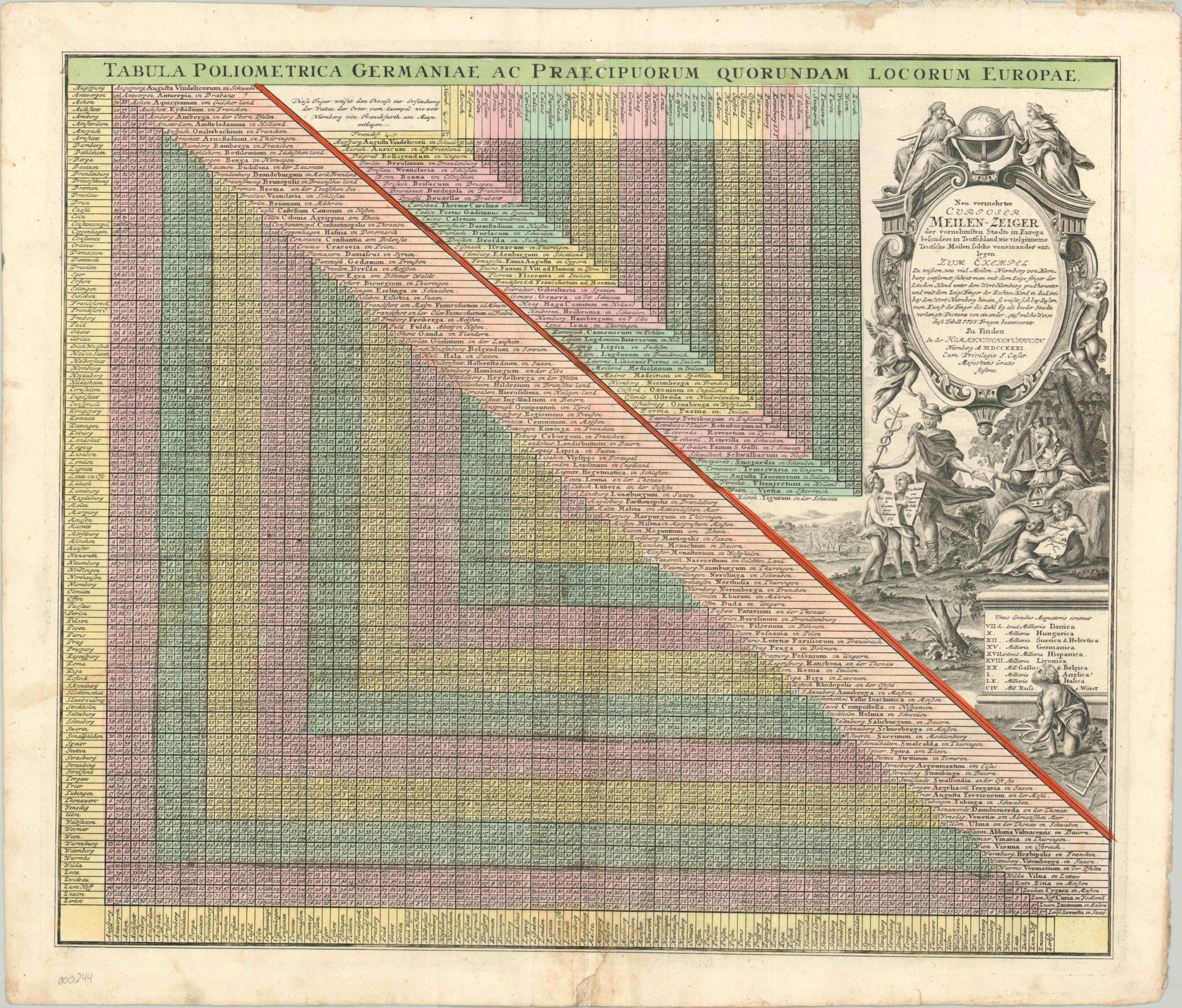
Tabula Poliometrica Germaniae Ac Praecipuorum Quorundam Locorum Europae
Meticulous distance chart of Europe with hand color.
Out of stock
Description
According to the elaborately engraved cartouche, typical of the Homann Heirs firm, all one had to do was use their pointer finger to locate where a row and column meet. This provided the reader information that “answers 7,798 questions” about traveling between various cities in Europe. Since it was a German publishing house, particular emphasis has been given to cities in that country.
Map Details
Publication Date: 1731
Author: Homann Heirs
Sheet Width (in): 23.75
Sheet Height (in): 20
Condition: B+
Condition Description: The chart is in good shape on strong paper with original hand color. Some soiling present and minor tears along the outer edges.
Out of stock

