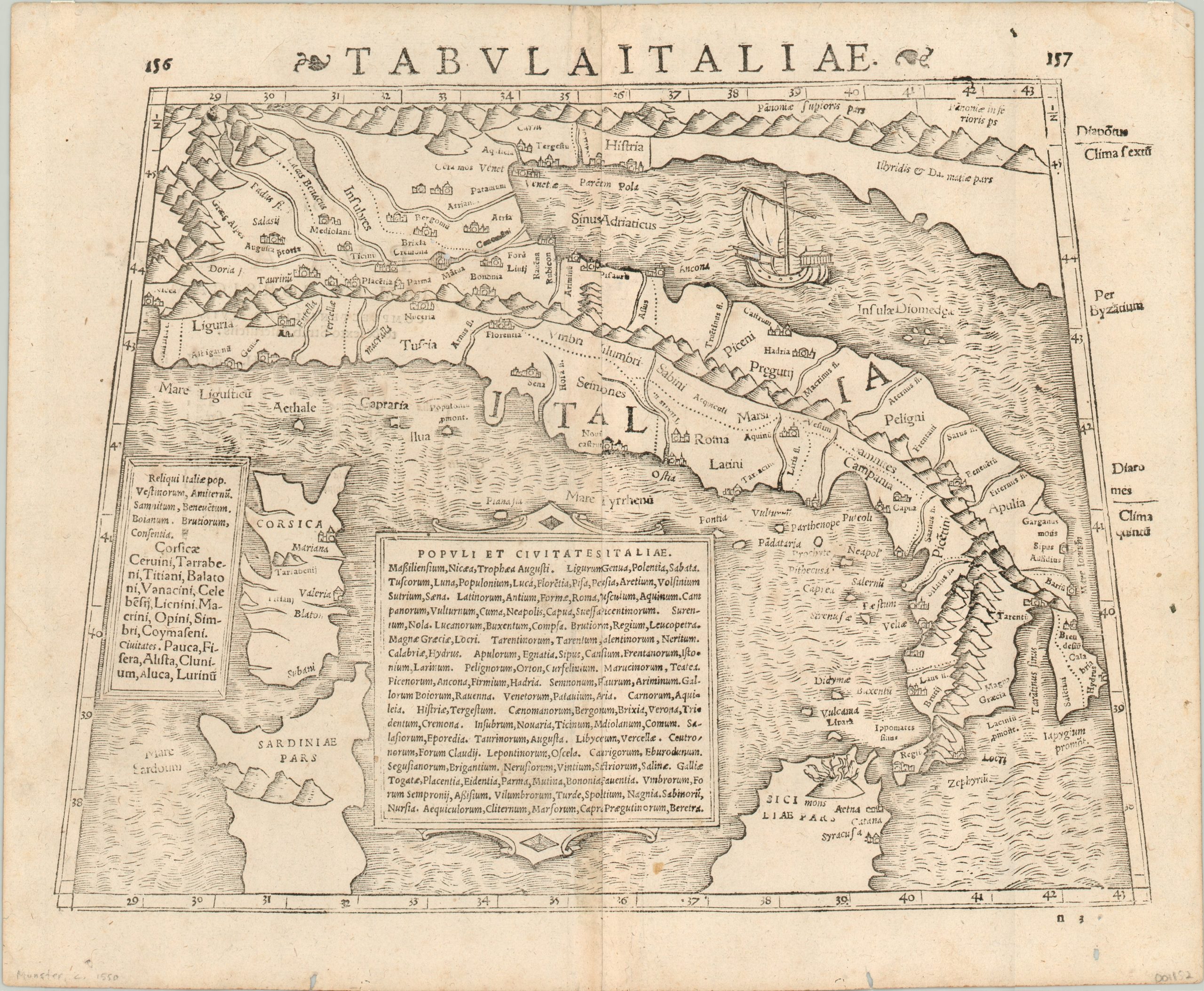
Tabula Italiae
$495.00
Munster’s map of Italy in antiquity.
1 in stock
Description
This is a wonderful antiquarian map of Italy, published in the middle of the 16th century by Sebastian Munster in his edition of Ptolemy’s Geographia. It shows “the boot” from the Alps to the northern coast of Sicily and includes the islands of Sardinia and Corsica.
Rudimentary topographic detail is provided by striking mountain ranges running down the middle of the country and includes an erupting Mt. Etna in the south. A sailing ship can be seen in the Adriatic Sea, and text boxes list towns and cities throughout Italy. There are also a few annotations in the margins, referencing the latitude of Byzantium and the various climactic zones proposed by Ptolemy in his original works.
Munster was a hugely influential German cartographer who published two important works; Ptolemy’s Geographia (first in 1540) and Cosmographia (first in 1544). The latter was monumental in the history of cartography, and offered the first “modern” maps of the areas they claimed to depict.
Map Details
Publication Date: c. 1552
Author: Sebastian Munster
Sheet Width (in): 14.6
Sheet Height (in): 12
Condition: B+
Condition Description: Four wormholes and a few small stains within the image. Faint discoloration along centerfol and scattered soiling in the margins. Remains in very good condition overall.
$495.00
1 in stock

