
System of Chicago Surface Lines
$95.00
SURFACE LINES TAKE YOU EVERYWHERE (during the Eucharistic Congress of 1926)
1 in stock
Description
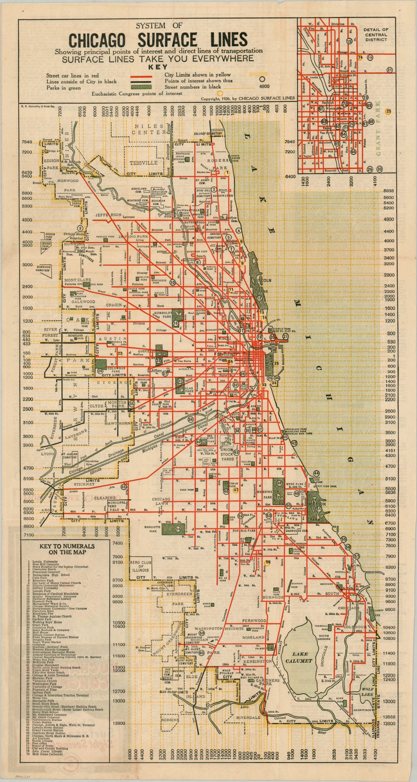
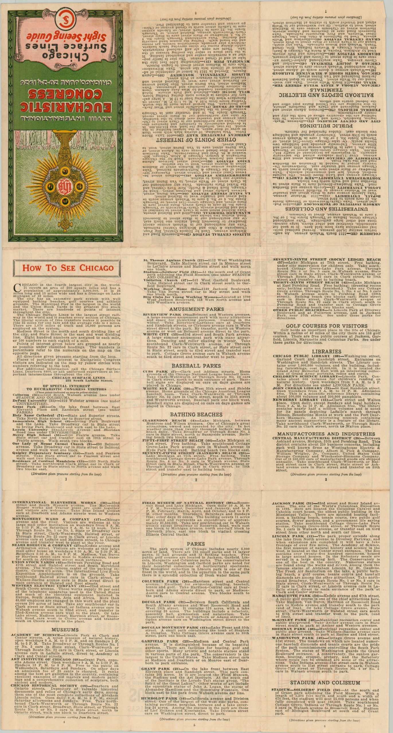
In the late 19th century, Chicago was served by a patchwork of transit lines including streetcars, horse-drawn trolleys, and elevated rails. The Chicago Surface Lines was formed in 1914 to consolidate the routes of the four primary operators of the city’s streetcars. This map, published in 1926, shows the network of surface lines after over a decade of largely uninterrupted growth, though increasing competition from the automobile spelled trouble in future years. Nearly 75 different locations of interest are numbered within the map, the vast majority of which are accessible via streetcar routes in bright red. The verso includes additional information for the traveler on How to See Chicago and provides brief summaries of many of the city’s most famous attractions.
The map was printed by R.R. Donnelley & Sons in 1926 for the thousands of attendees to the XXVIII International Eucharistic Congress held in Chicago that summer. Points of interest related to the event are circled in yellow and include Mercy High School, the residence of Cardinal Mundelein, Loyola University, the Working Boys’ Home (Mercy Home), and Soldier Field.
Sources: Shore Line Interurban Historical Society; University of Dayton;
Map Details
Publication Date: 1926
Author: Chicago Surface Lines
Sheet Width (in): 11.4
Sheet Height (in): 21.25
Condition: A
Condition Description: Double-sided brochure, lightly creased along fold lines (as issued) and showing faint see-through from text on the verso. Very good to near fine condition overall.
$95.00
1 in stock