Switzerland
$125.00
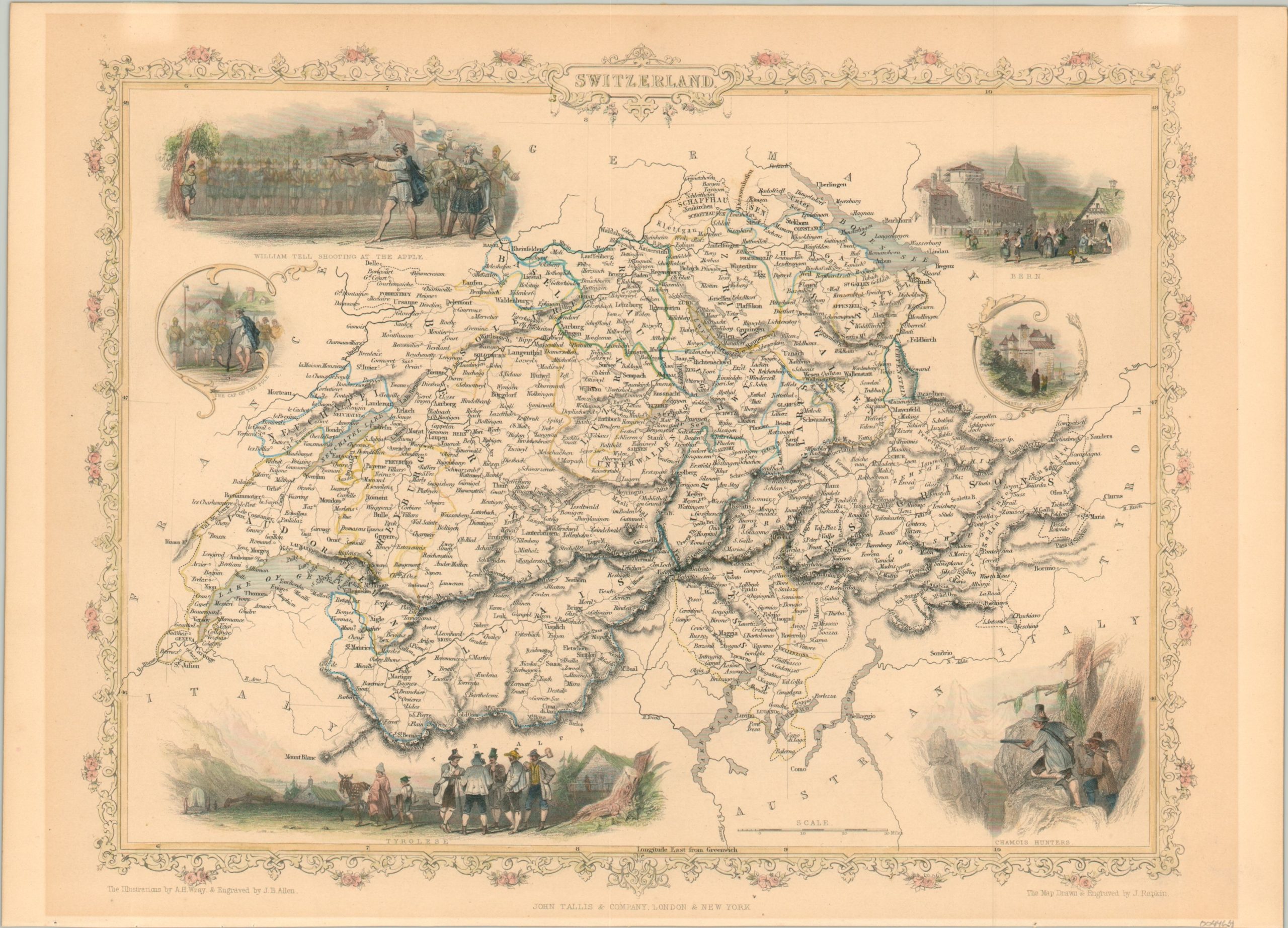
Beautiful map of Switzerland from the mid-19th century.
1 in stock
Description
This lovely and detailed map of Switzerland was drawn and engraved by John Rapkin for publication in John Tallis’ Illustrated Atlas around 1850. The famous Swiss Alps are reflected with delicately engraved hachures and the original outline color distinguishes the boundaries of each canton (individually labeled).
A variety of attractive vignettes, designed by A.H. Wray and engraved by J.B. Allen, fill the negative space. These show William Tell shooting an apple, the bustling capital of Bern, chamois (an alpine goat) hunters, and a group of Tyrolese, among other characteristically ‘Swiss’ images.
Map Details
Publication Date: c. 1850
Author: John Tallis
Sheet Width (in): 14.3
Sheet Height (in): 10.25
Condition: A-
Condition Description: Some moderate discoloration visible in the margins from matte burn. Very good overall, with attractive hand color.
$125.00
1 in stock

