Survey of the Allegheny River from Franklin to Pittsburgh
$75.00
Two sheet Army survey of the Allegheny River.
1 in stock
Description
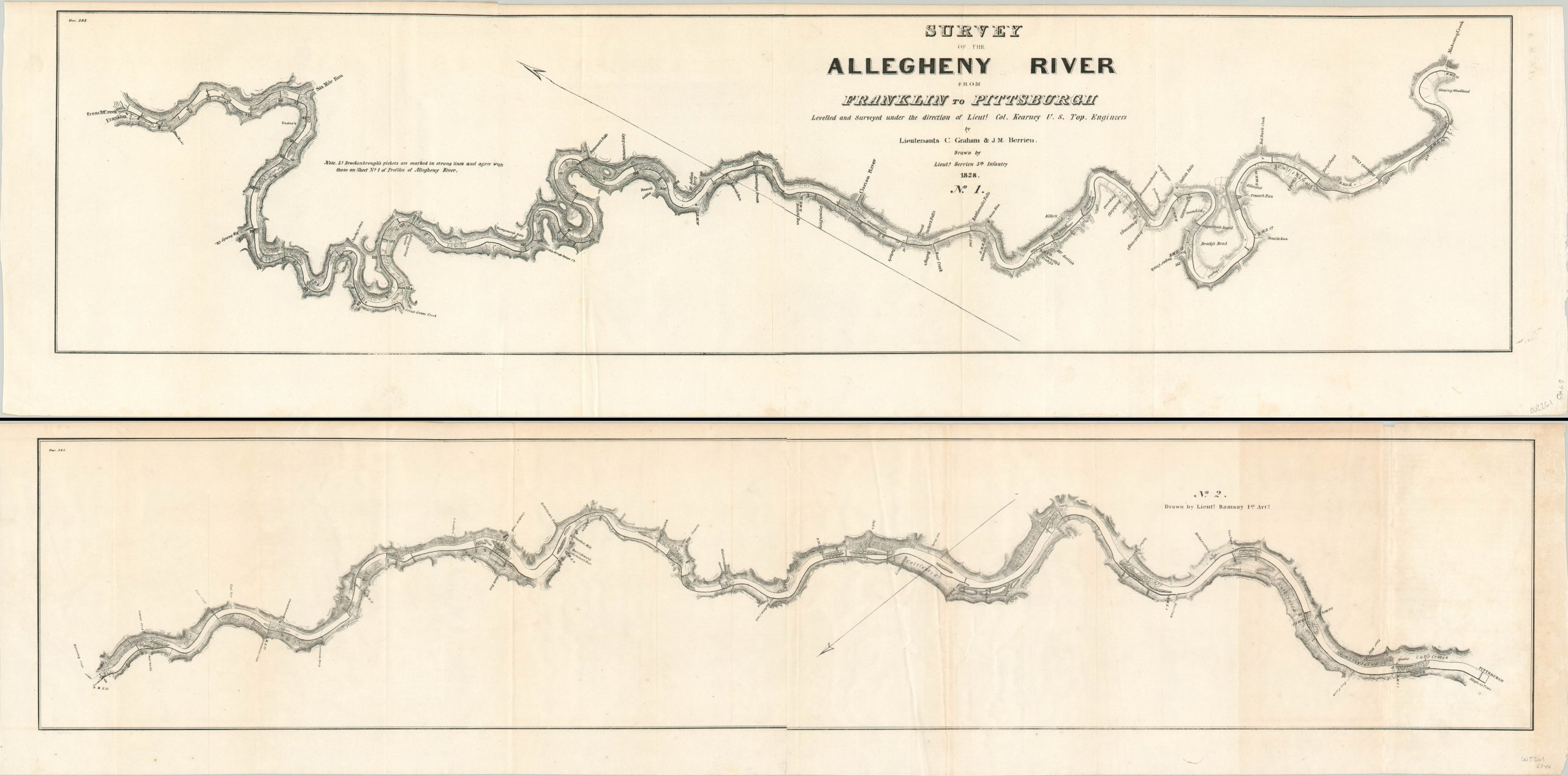
This detailed two-part map covers the course of the Allegheny River in Pennsylvania between Franklin and Pittsburgh. The surveying was performed by Lieutenants C. Graham and J.M. Berrieu under the direction of Lieutenant Colonel James Kearney of the U.S. Topographical Engineers in 1828.
The first sheet, oriented with north to the upper left, was drawn by Lt. Berrien of the 5th Infantry and starts at Franklin in the upper left. The river continues to Pittsburgh on the second sheet (lower right), which was drawn by Lt. Ramsay of the 1st Artillery. In each image, topography is depicted in hachure and the location of landmarks, mills, ferries, and other local industries are noted.
Map Details
Publication Date: 1828
Author: Lieutenant Berrien/Lieutenant Ramsay
Sheet Width (in): See Description
Sheet Height (in): See Description
Condition: B+
Condition Description: Two sheet plan of the Allegheny River. No. 1 measures approximately 33.5" x 8.75" and is in very good condition; with faint creasing along vertical fold lines and a bit of slight toning around the outer edges. Sheet No. 2 measures approximately 39.4" x 8.75" and is a bit more heavily toned and creased, but remains in good condition overall.
$75.00
1 in stock


