
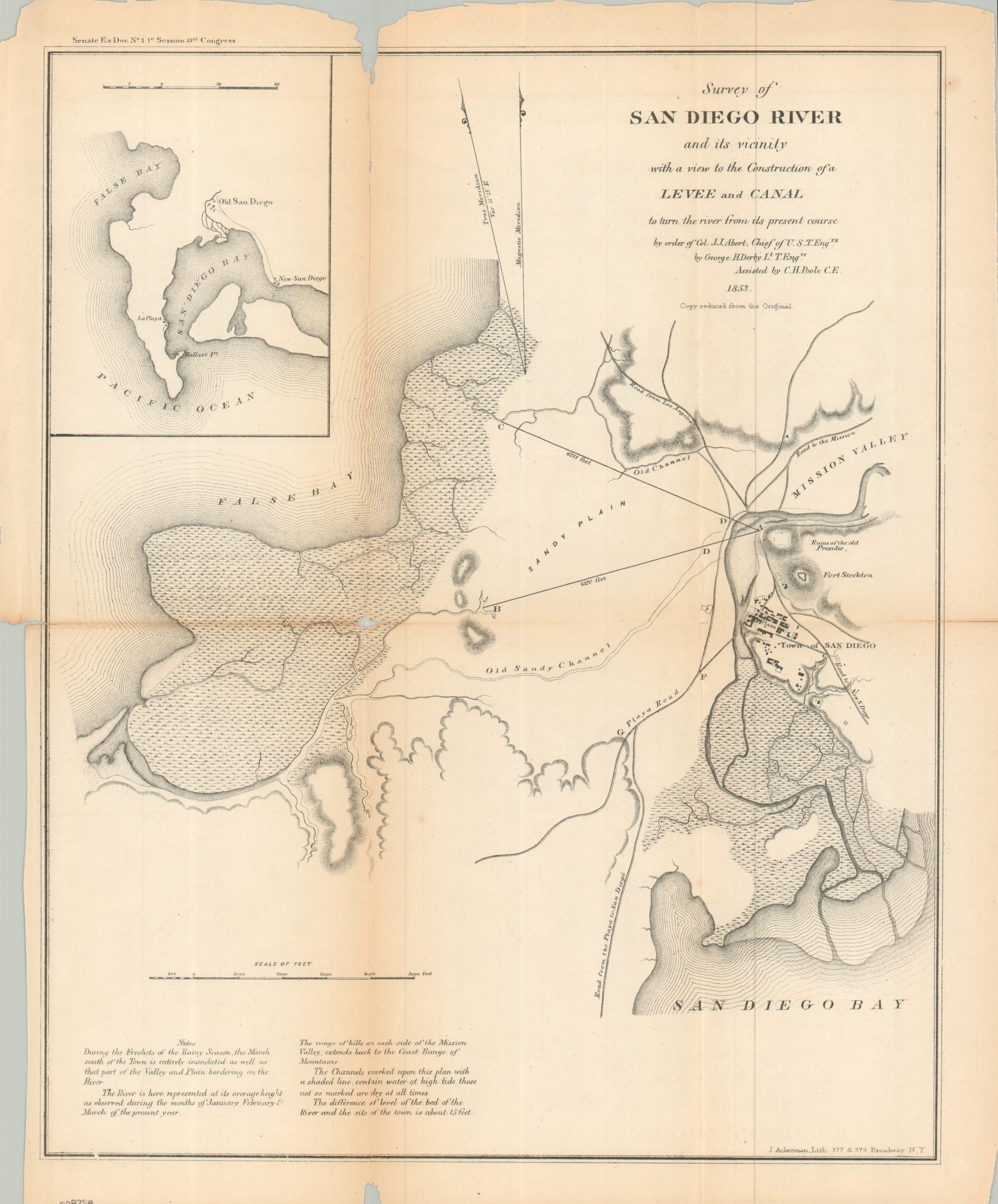
Survey of San Diego River and its Vicinity with a view to the Construction of a Levee and Canal
$175.00
Efforts to maintain San Diego as a viable deepwater port in the mid-19th century.
1 in stock
Description
This significant coastal survey offers an interesting glimpse into the physical landscape around San Diego during the early 1850s. The small town (‘Old’ San Diego) was at risk of becoming obsolescent due to the constantly meandering course of the San Diego River. By 1849, the waterway had resumed its flow into the harbor, with the resulting silt accumulation forcing the establishment of a ‘New Town’ further south. Two levees, each over a mile long, are proposed to help divert the flow of the river into False (Mission) Bay. The resulting improvements, known as Derby’s Dike, were completed in 1853, but failed quickly after heavy rainstorms.
The map was prepared by George H. Derby of the U.S. Corps of Topographical Engineers, with assistance by C.H. Poole. Originally published in late 1853 or 1854 as part of a Congressional report by the U.S. Coast Survey.
Map Details
Publication Date: 1853
Author: George H. Derby
Sheet Width (in): 13.40
Sheet Height (in): 16.50
Condition: B
Condition Description: Single-sided map printed on old and somewhat brittle paper, creased along folds. About 6" of separation has been repaired on the verso with archival tape, though there is a small hole at the fold joint in the center left. Irregular left margin and a small chip in the upper center. About good overall.
$175.00
1 in stock