
Subject Nationalities of the German Alliance
Arguing for national self-determination in post-WWI Europe.
Out of stock
Description
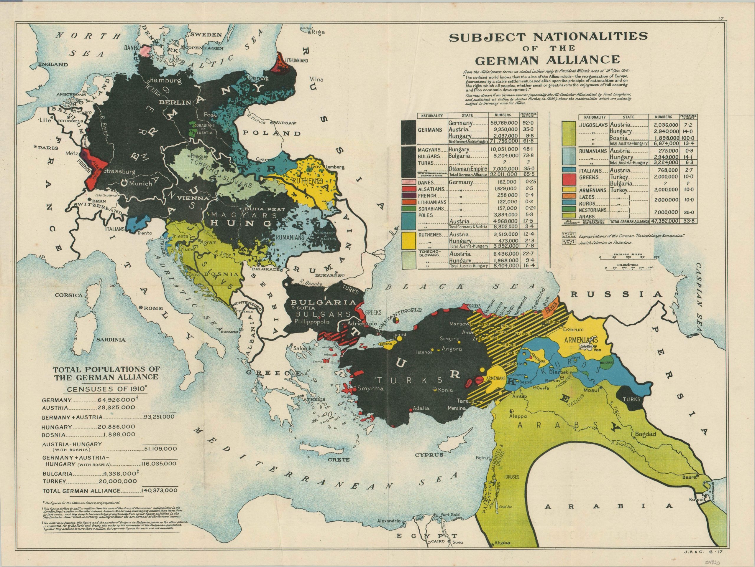
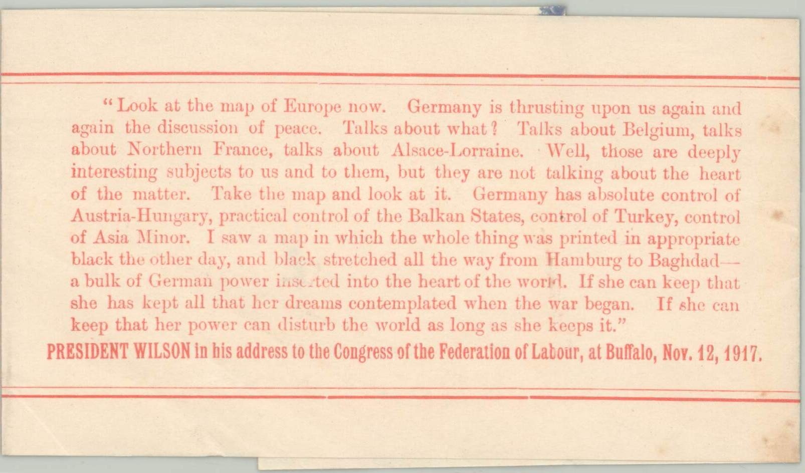
“Take the map and look at it. Germany has absolute control of Austria-Hungary, practical control of the Balkan States, control of Turkey, control of Asia Minor. I saw a map in which the whole thing was printed in appropriate black the other day, and black stretch all the way from Hamburg to Baghdad – a bulk of German power inserted into the heart of the world.” [Accompanying leaf].
This boldly colored map highlights the ethnic composition of the various states that comprised the Central Powers during the First World War – Germany, Austria-Hungary, Bulgaria, and the Ottoman Empire. Notably using prewar German census data (with an asterisk indicating Ottoman statistics are conjectural), the image presents large populations of separately defined national groups stretching from the Baltic Sea to the Persian Gulf.
Population tables in the lower left and upper right provides an analytical breakdown of the demographics across ‘The German Alliance’ and an overview of the colors used to denote each nationality (black used deliberately to represent its heartland). Also of interest is the inclusion of Jewish colonies in Palestine and German settlements in Poland (the Ansiedlungskommission). The statistics provided show a high levels of homogeneity across Germany (92% German) but serious ethnic divisions in Austria-Hungary and the Ottoman Empire (only 35% Turk).
The presence of large minority populations including Poles, Alsatians, Slavs, and Armenians presages the eventual dissolution of the Austro-Hungarian, German, and Ottoman Empires after the war. Or at least that was the intent behind the map design and distribution in 1917. It aimed to promote principles of national self-determination, as outlined by an excerpt from the proposed Allied peace terms in the upper right. According to the Library of Congress;
“The French and British had no interest in negotiating a peace without victory or in granting what Wilson called self-determination to their own subject peoples. They were, however, keen to use the nationality issue as part of their propaganda campaign against their enemies.”
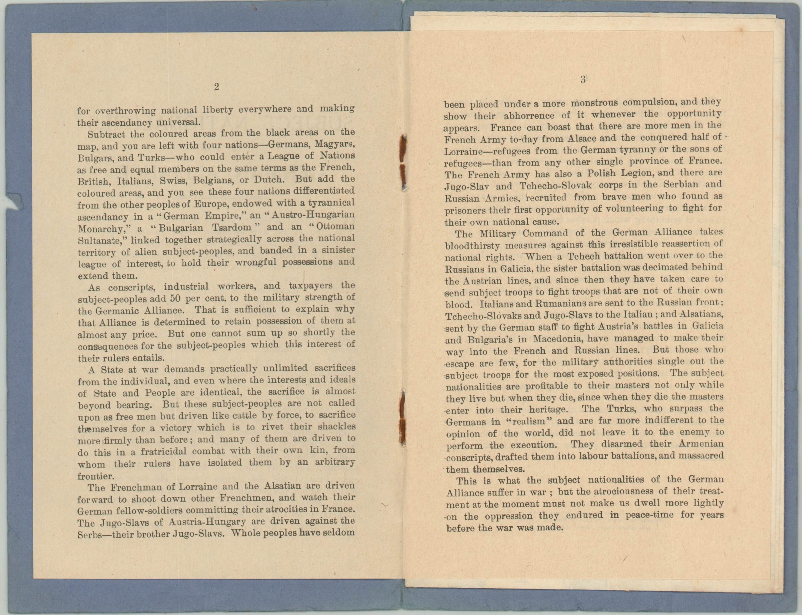
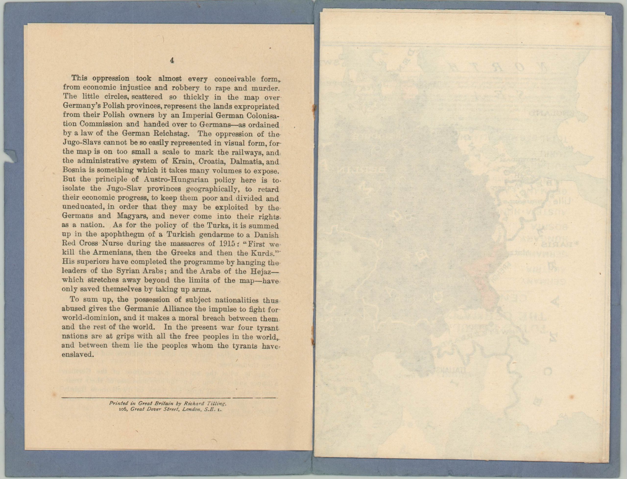
The map is affixed to a four-page pamphlet that correlates the preservation of the Central Powers’ empire to the perpetual slavery of its inhabitants – framing the conflict as a fight for liberty and against oppression. The text concludes;
“To sum up, the possession of the subject nationalities thus abused give the Germanic Alliance the impulse to fight for world-dominion, and it makes a moral breach between them and the rest of the world. In the present war four tyrant nations are at grips with all the free peoples in the world, and between them lie the peoples who the tyrants have enslaved.”
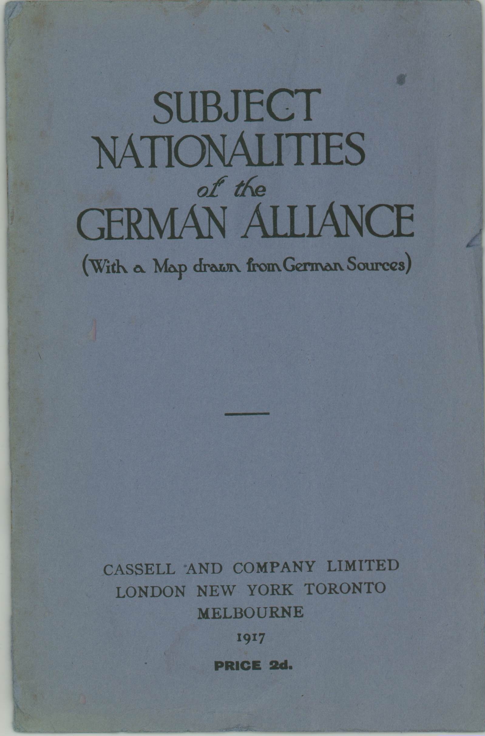
The map is dated 6-17 and signed J.R. & C. in the lower right corner. The pamphlet was published in 1917 by Cassell and Company Limited and printed in London by Richard Tilling. Includes a provocative slip sheet with an excerpt from a 1917 address from President Wilson. The map was widely reproduced in several forms, including a larger wall map by Edwin Stanford and as part of an educational school atlas.
Source: Leventhal Map Collection; Cornell University; Library of Congress;
Map Details
Publication Date: 1917
Author: Cassell and Company Limited
Sheet Width (in): 19.9
Sheet Height (in): 14.9
Condition: A-
Condition Description: Map folds into 8 segments and remains affixed to the back cover of a 4 pp. pamphlet. Bound with staples in original purple paper wraps. Creasing and some extraneous wrinkling along fold lines, plus some wear and one or two spots along the left margin. About very good condition overall
Out of stock