Studebaker Bros. Manufacturing Co. War Atlas with Marginal Index
Late 19th century atlas with great contemporary advertisements for Studebaker wagons.
Out of stock


Description
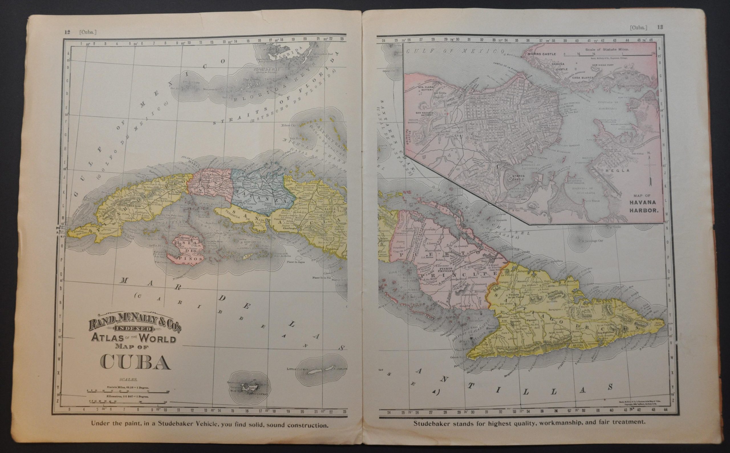
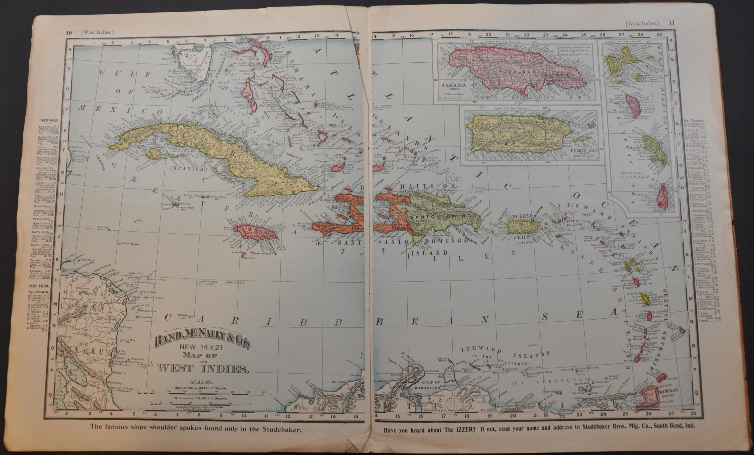
Looking to capitalize on contemporary public interest in overseas affairs, this ‘War Atlas’ was distributed shortly after the conclusion of the Spanish-American War (1898) by the Studebaker Manufacturing Company of South Bend, Indiana. The firm operated one of the largest wagon building operations in the United States and would release its first battery-powered horseless carriage in 1902.
Advertisements for the company and its products and a view of the factory can be seen throughout and on the covers. The atlas contains 7 double page, 1 single page, and one foldout map – all created by Rand McNally & Co. of Chicago, plus a sheet showing the naval insignia of prominent nations. The maps focus on areas of particular interest to an American audience – the new overseas territories, independent Cuba, Spain, etc.
The foldout map of Alaska affixed to the back cover highlights the coal and gold fields and the routes thereto in red overprinting. At the time of publication, the Klondike Gold Rush was near its height.
Source: South Bend History Museum;
Map Details
Publication Date: 1898
Author: Studebaker Brothers Manufacturing Company
Sheet Width (in): 11.4
Sheet Height (in): 14.1
Condition: B+
Condition Description: 16 pp. atlas with stapled binding and original orange paper wraps. Includes a large 18" x 24" folding map of Alaska affixed to the back. Covers show moderate wear and soiling, including a few small chips and toning along the outer edges. Contents are toned and wrinkled along the fore edge and show scattered small tears, soiling, etc. Good to very good condition overall.
Out of stock