Street Map of Kowloon
$500.00
The mainland portion of Hong Kong in the mid-1970’s.
1 in stock
Description
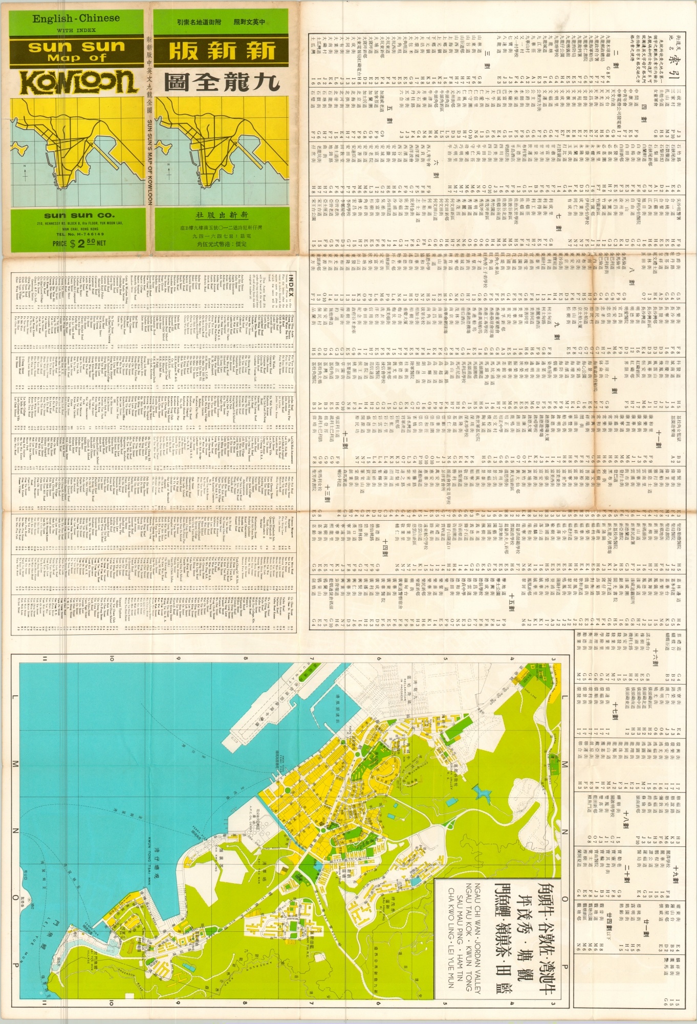
This fascinating dual-language map of Kowloon was published locally in 1974 by the Sun Corporation. It shows the densely populated peninsula across Victoria Harbor from Hong Kong during a period of significant urbanization and development. Transportation routes, neighborhoods, government & public buildings, parks, and other locations of interest are labeled in both English and Chinese text within the image.
Of particular interest is Kowloon City, near the airport. This Chinese enclave in British Hong Kong would rise to become one of the most densely populated places on Earth before it was demolished in 1993. An inset map in the lower left shows the Cross Harbor Tunnel (opened two years prior).
The verso includes a detailed index listing hundreds of locations within the image, as well as a map of additional neighborhoods to the east and south.
Map Details
Publication Date: 1974
Author: Sun
Sheet Width (in): 30.50
Sheet Height (in): 20.75
Condition: A-
Condition Description: Pocket map with creasing and wear along fold lines, including small holes at fold intersections and tiny tears along the outer edges of the sheet. A bit of discoloration along the fold lines is also noticeable on the verso, but does not affect the image. Very faint discoloration along the outer edges.
$500.00
1 in stock


