
Straszen Sustands Karte des Osterreich Touring Clubs
$145.00
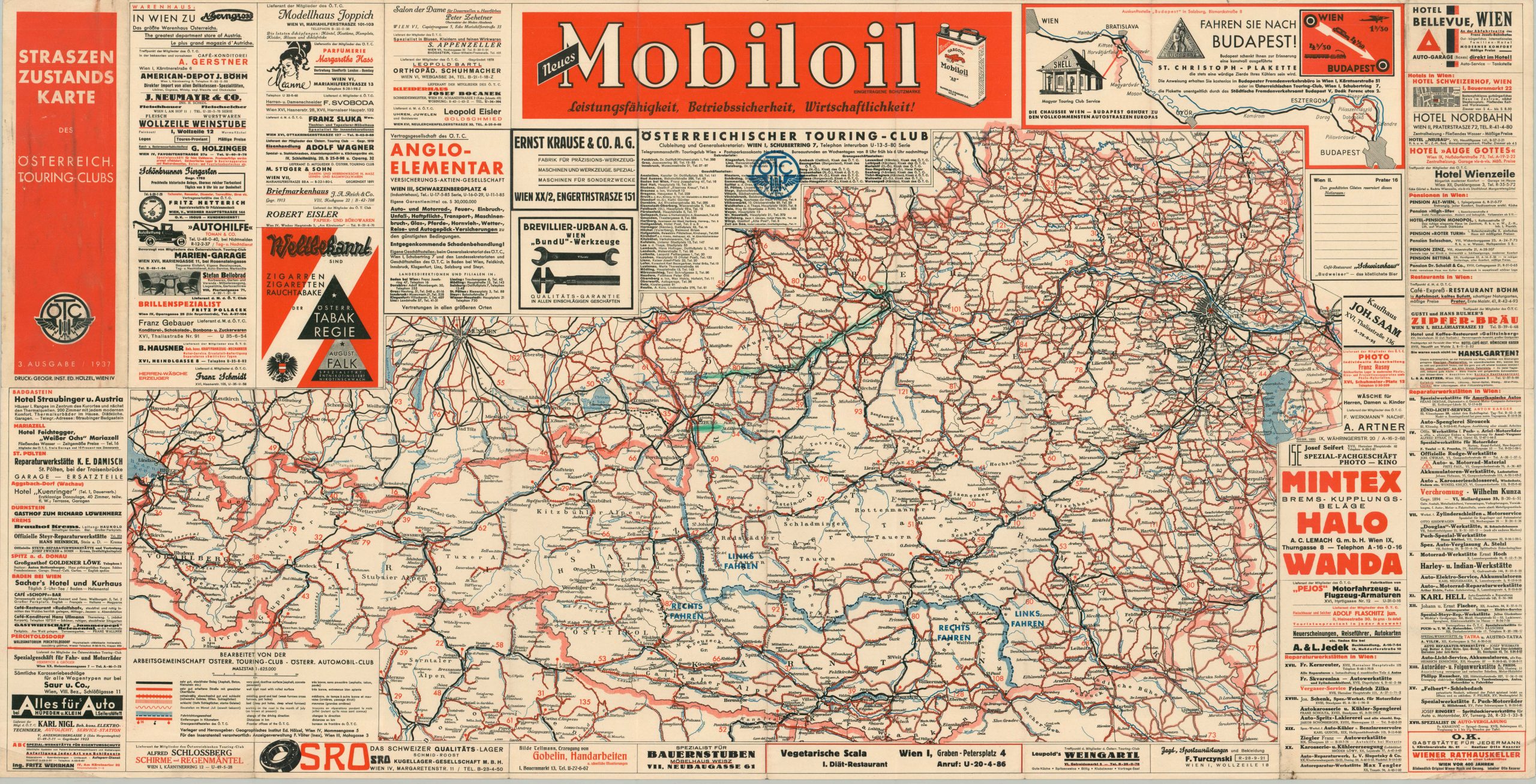
Third edition map of Austrian Touring Clubs.
1 in stock
Description
This vibrant road map of Austria was published in Vienna in 1937 by the Geographisches Institut Edward Holzel. It presents the location and regional extent of the nation’s various motor touring clubs and an easily legible overview of the domestic road network. The key is provided in three languages (German, French and English), reflecting a wide intended audience.
The automobile was becoming an increasingly form of transportation and numerous contemporary advertisements promote local mechanics, auto shops, and parts suppliers. An inset in the upper right shows a suggested route between Vienna and Budapest. Less than a year after publication, the entire nation of Austria would be annexed into the German Reich in a series of political maneuvers known as the Anschluss.
Map Details
Publication Date: 1937
Author: Geographisches Institut Edward Holzel
Sheet Width (in): 45.2
Sheet Height (in): 23.1
Condition: A-
Condition Description: Single-sided pocket map folded into 24 panels. Moderate wear and a few spots of clean separation along the seams and outer edges of the sheet. Wrinkled corners and scattered soiling along the lower edge. Good to very good condition overall.
$145.00
1 in stock