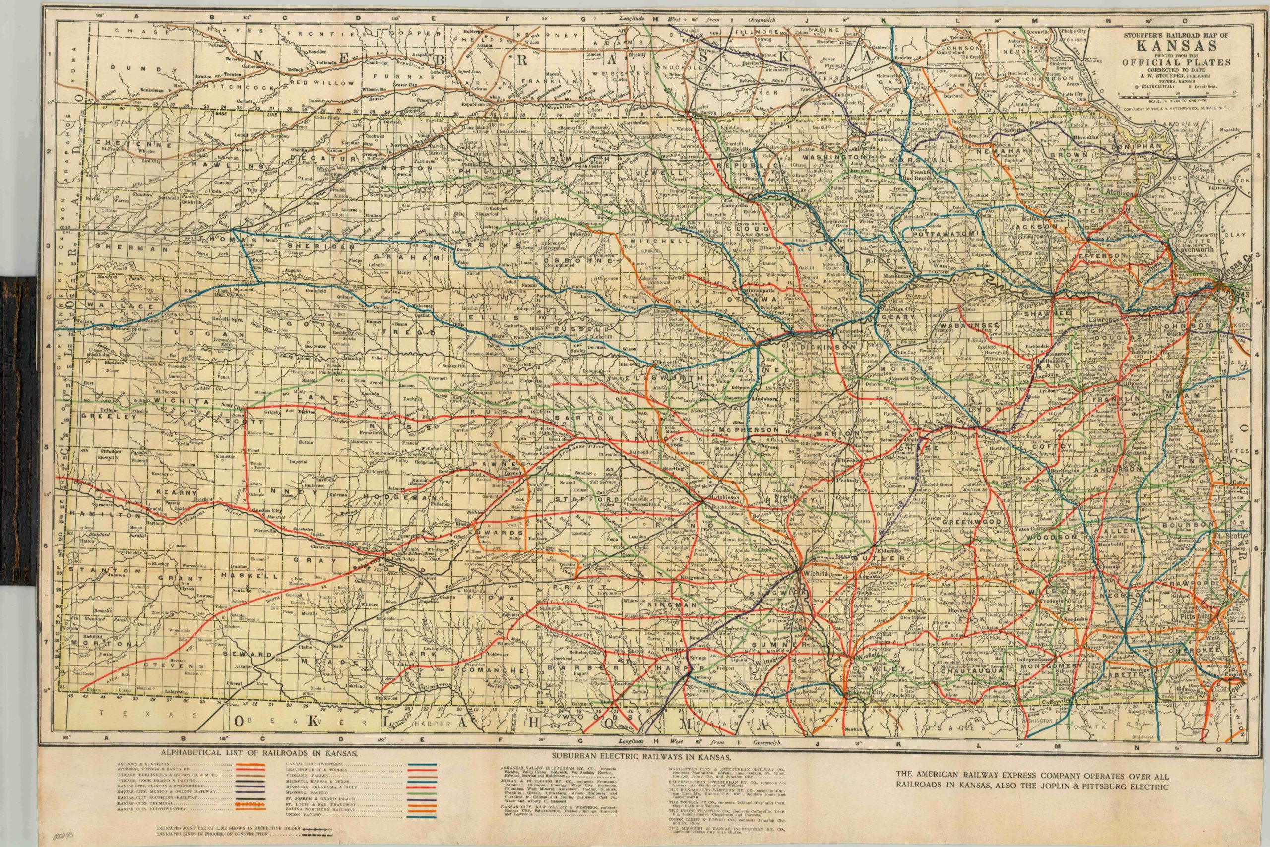
Stouffer’s Railroad Map of Kansas
Colorful fold out railway map of Kansas.
Out of stock
Description
This lithographed map of Kansas shows the routes of nineteen separate rail lines through the state, including those under construction at the time of publication. Additional information is provided on the ten suburban electric rail companies, including connecting destinations. The complex network of rural lines reflect the booming agricultural industry taking place in the first quarter of the 20th century; however overuse of the soil would lead to horrendous environmental collapse through much of the state in 1930, an event known as the Dust Bowl. Significant consolidation among the rail companies would also take place in the coming decades throughout Kansas. In addition to the rail lines, rivers, towns, marshes, and springs are labeled.
Map Details
Publication Date: c. 1915
Author: J.W. Stouffer
Sheet Width (in): 29.25
Sheet Height (in): 20.25
Condition: A
Condition Description: The map is in excellent condition, printed on paper and laid on cloth with original covers.
Out of stock