
Stieler’s Hand-Atlas
The 9th edition of one of the most detailed general world atlases of the 20th century.
Out of stock


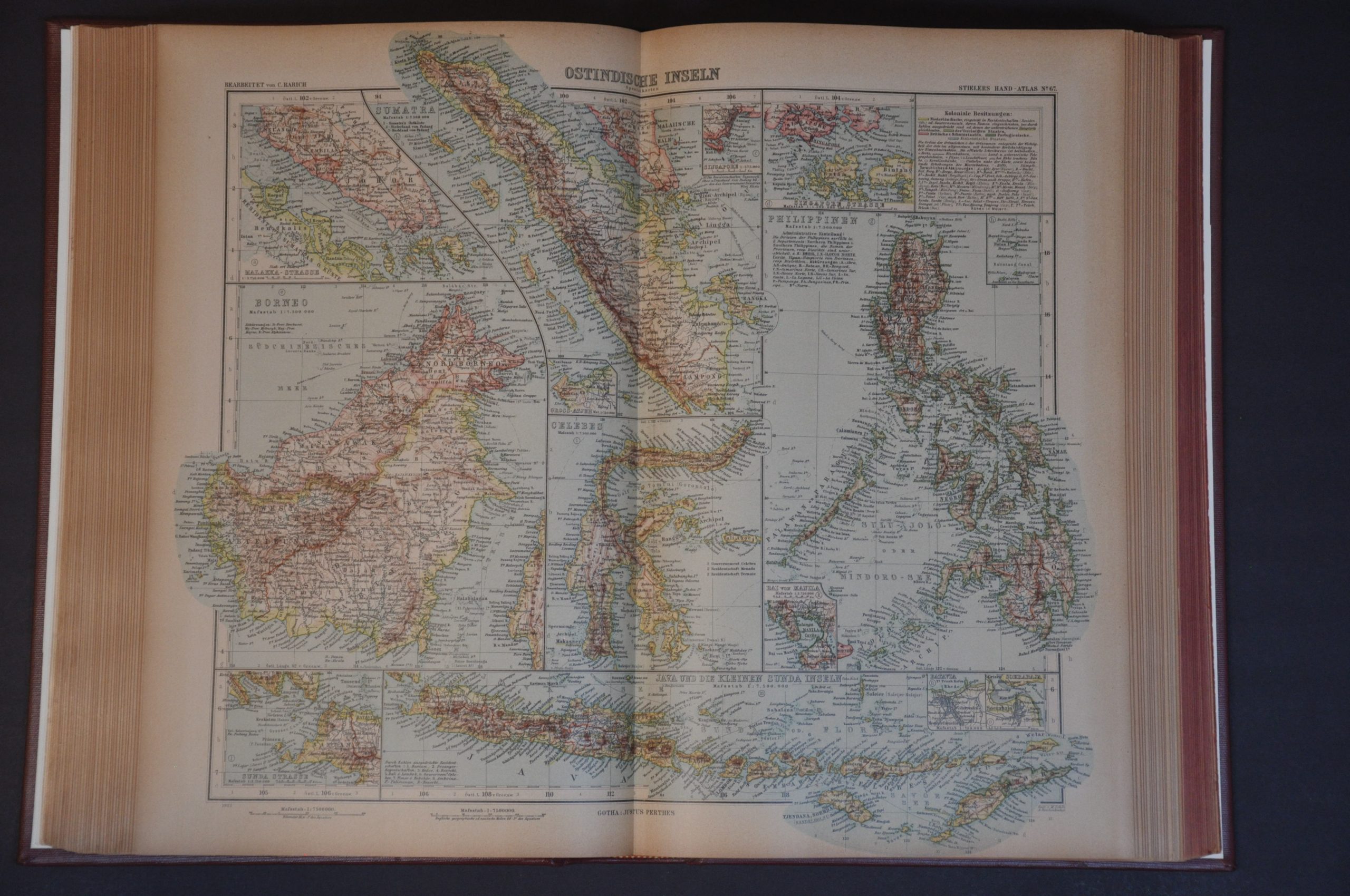



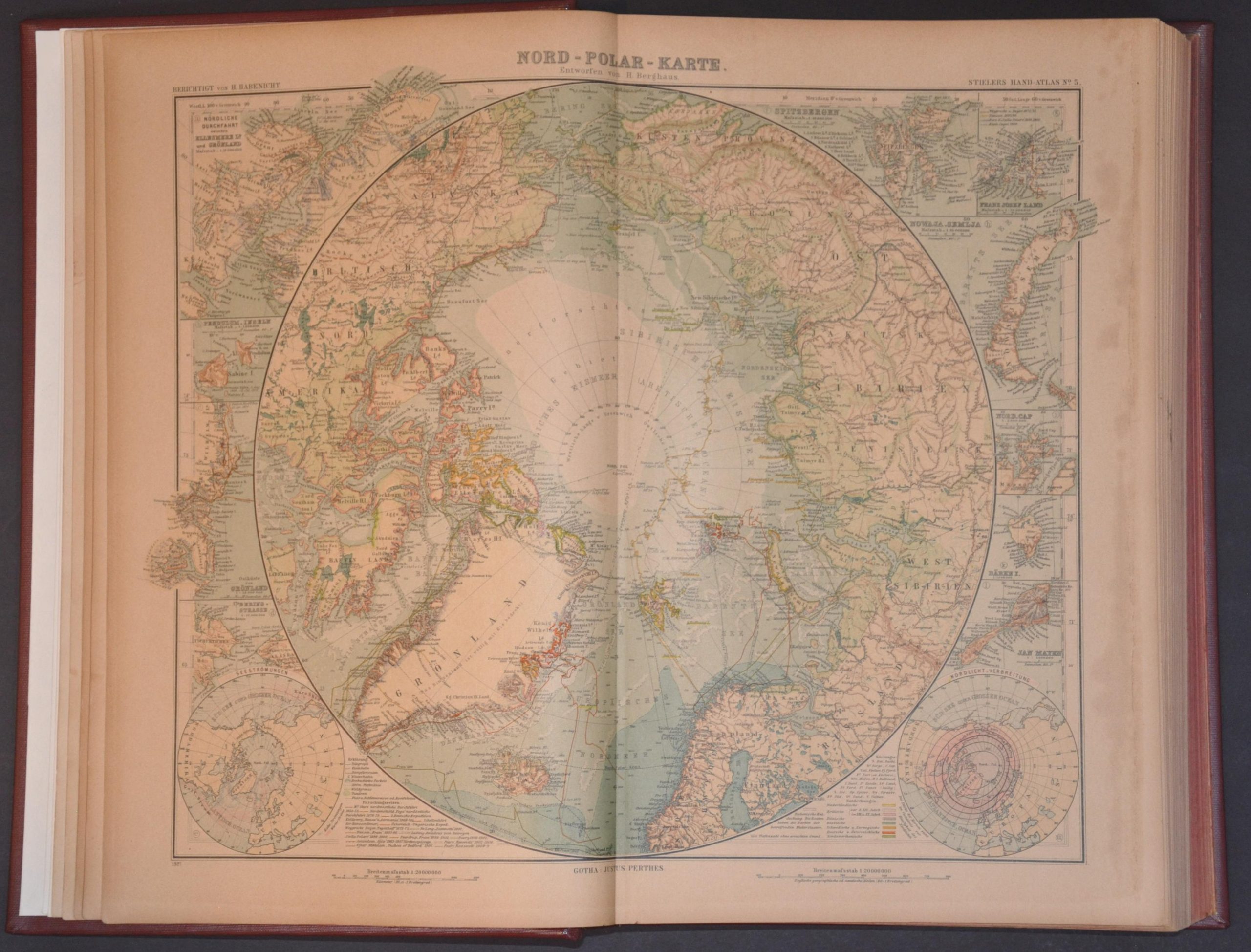
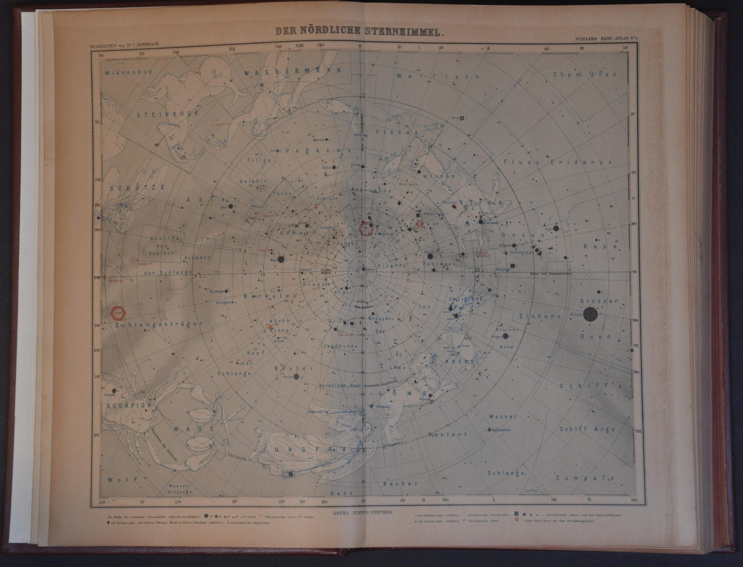
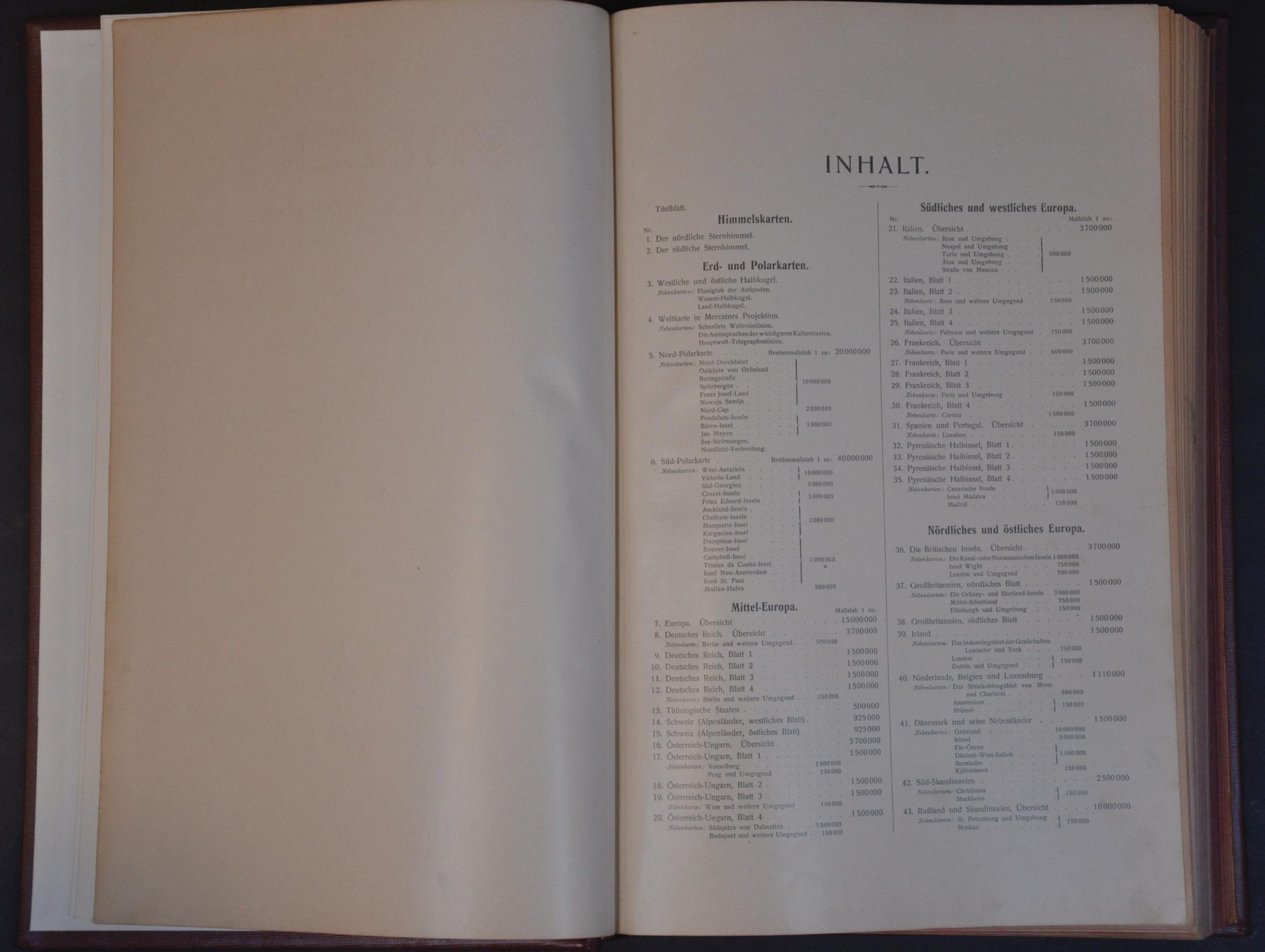
Description
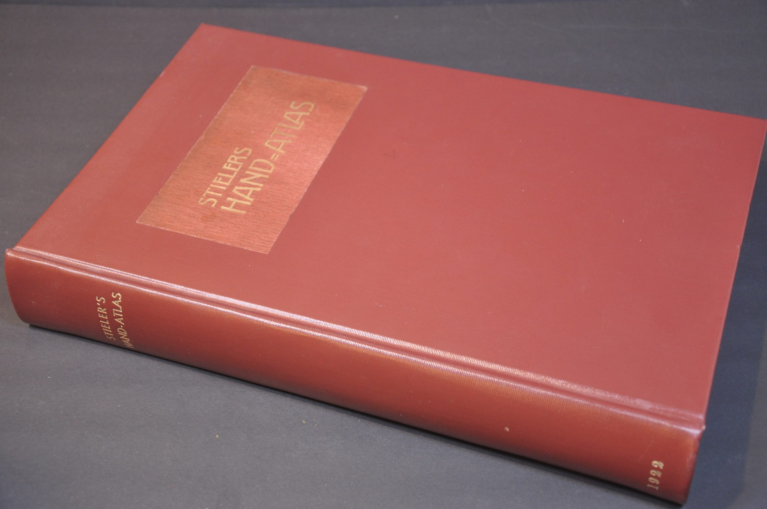
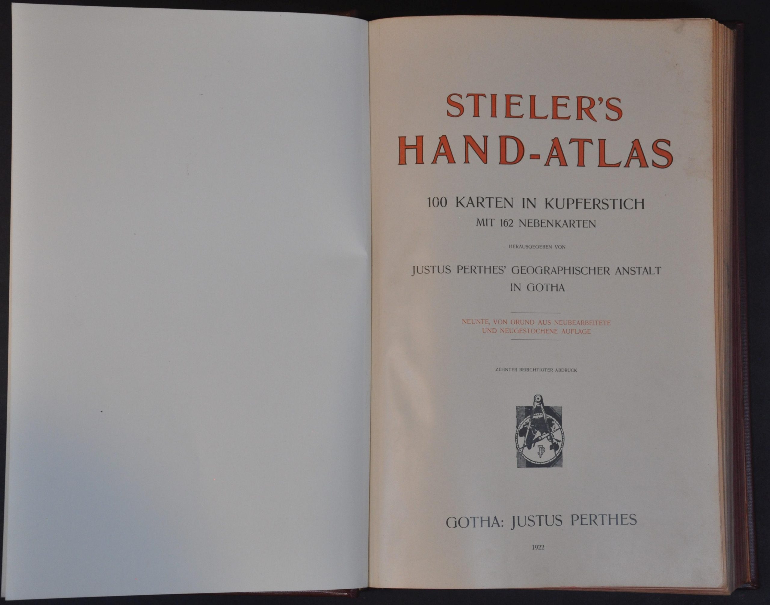
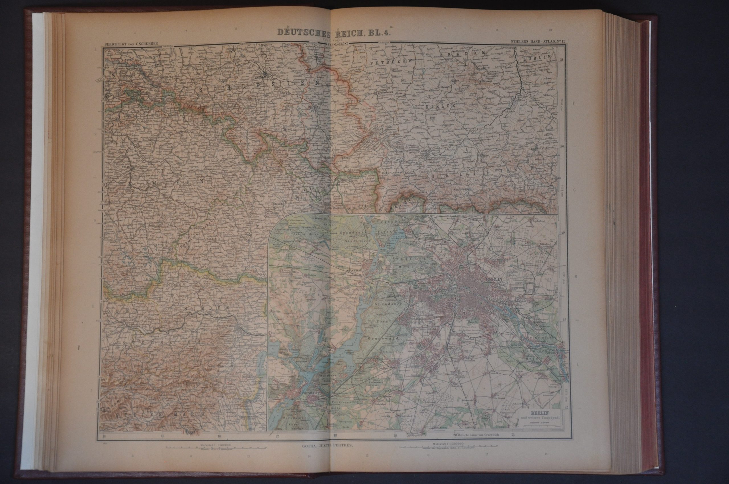
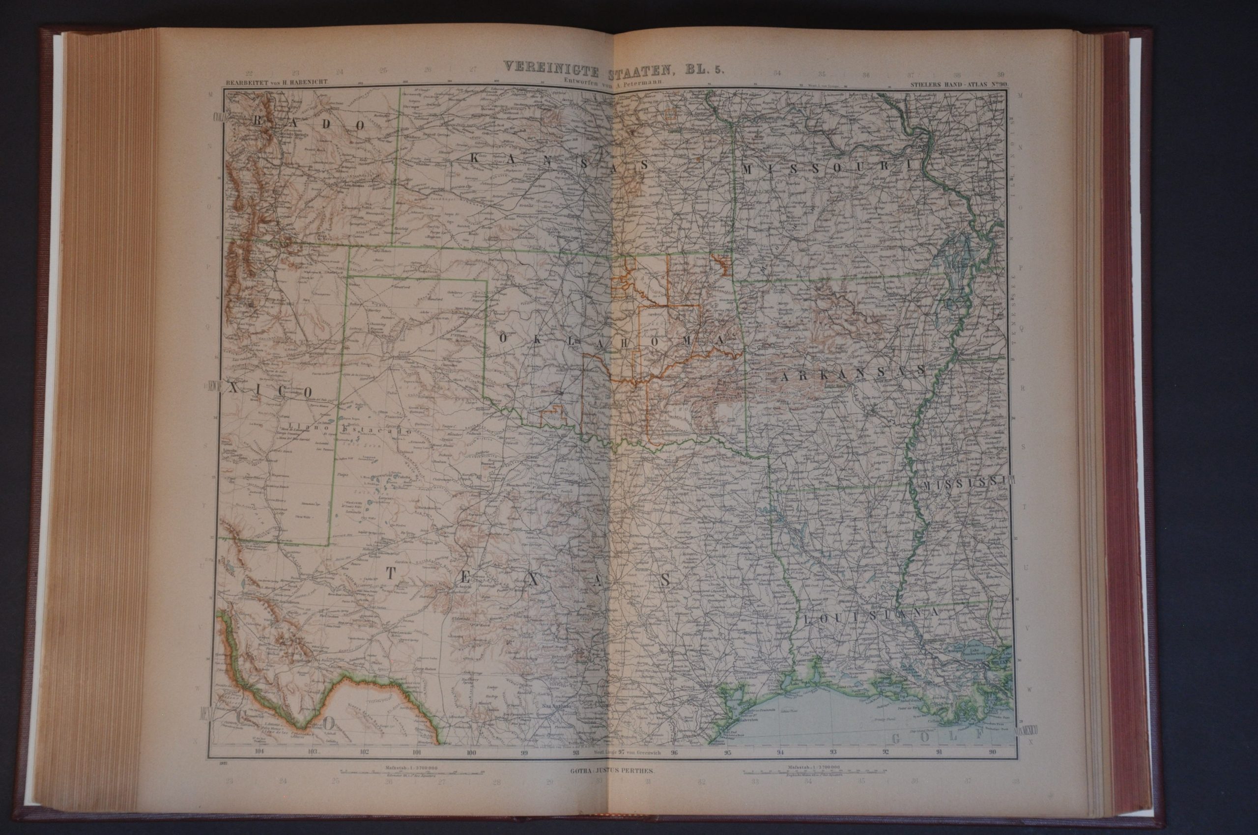
This jaw-dropping collection of 100 copperplate engraved maps was originally published in Gotha in 1922 by the prestigious firm of Justus Perthes. An expert team of (mostly) German cartographers compiled the material, covering the entire world during the Interwar Period. Particular emphasis is given to Central Europe, the polar regions, and Southeast Asia. Stieler’s Hand-Atlas was originally compiled by Adolf Stieler, with ten various editions published between 1816 and 1945. This is the tenth corrected printing of the ninth edition, edited by Hermann Habenicht.
Map Details
Publication Date: 1922
Author: Adolf Stieler/Hermann Habenicht
Sheet Width (in): 9.75
Sheet Height (in): 15.3
Condition: A-
Condition Description: 340 pp. atlas (100 color printed maps + 240 pages of indices and text), rebound in modern full red leather boards with original title block pasted on front. New endpapers and tight binding make for an exceptionally clean and durable piece. A bit of toning and a handful of closed tears have been repaired throughout, but overall in very good condition.
Out of stock