State of Minnesota
$200.00
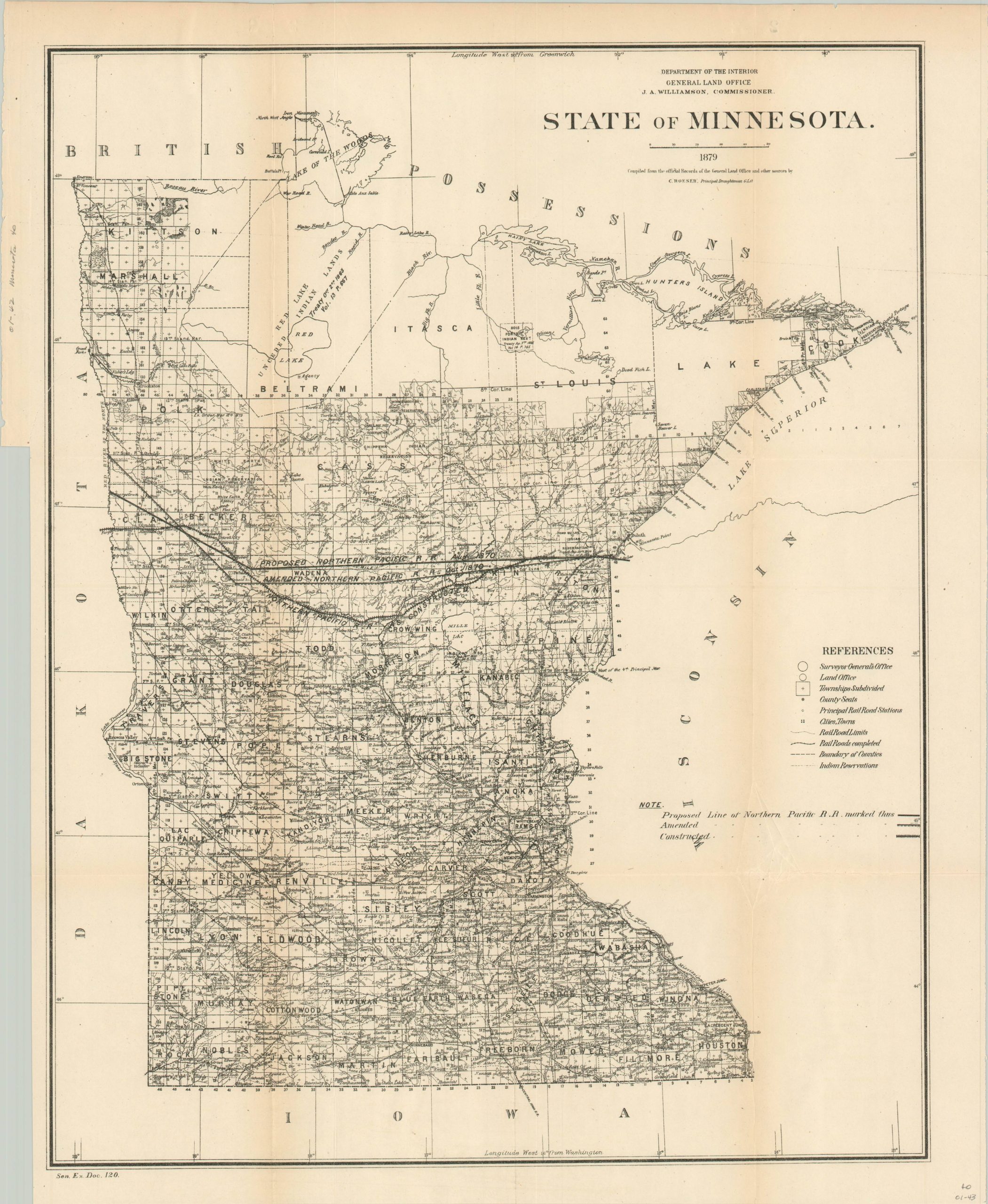
General Land Office map of Minnesota from 1879.
1 in stock
Description
This tremendously detailed map of the state of Minnesota presents a dense image packed with contemporary details on the state in the late 19th century. Railroads, both completed and in progress, are shown along with their land grants that were provided to help offset the cost of construction (notably the Northern Pacific).
Only a handful of counties in the remote northern reaches of the state remain to be surveyed, and several reservations and land grants are noted. Land offices, geographic features, and post offices provide further information on the composition of the state in the late 1870’s.
The map was drafted by C. Roeser, principal draughtsman of the General Land Office, and published in 1879.
Map Details
Publication Date: 1879
Author: C. Roeser
Sheet Width (in): 18.00
Sheet Height (in): 20.50
Condition: A-
Condition Description: Moderate toning and creasing along originally issued fold lines, and a 4" diagonal tear on the left side enters the image by about an inch or so. Repaired on verso. Very good overall.
$200.00
1 in stock

