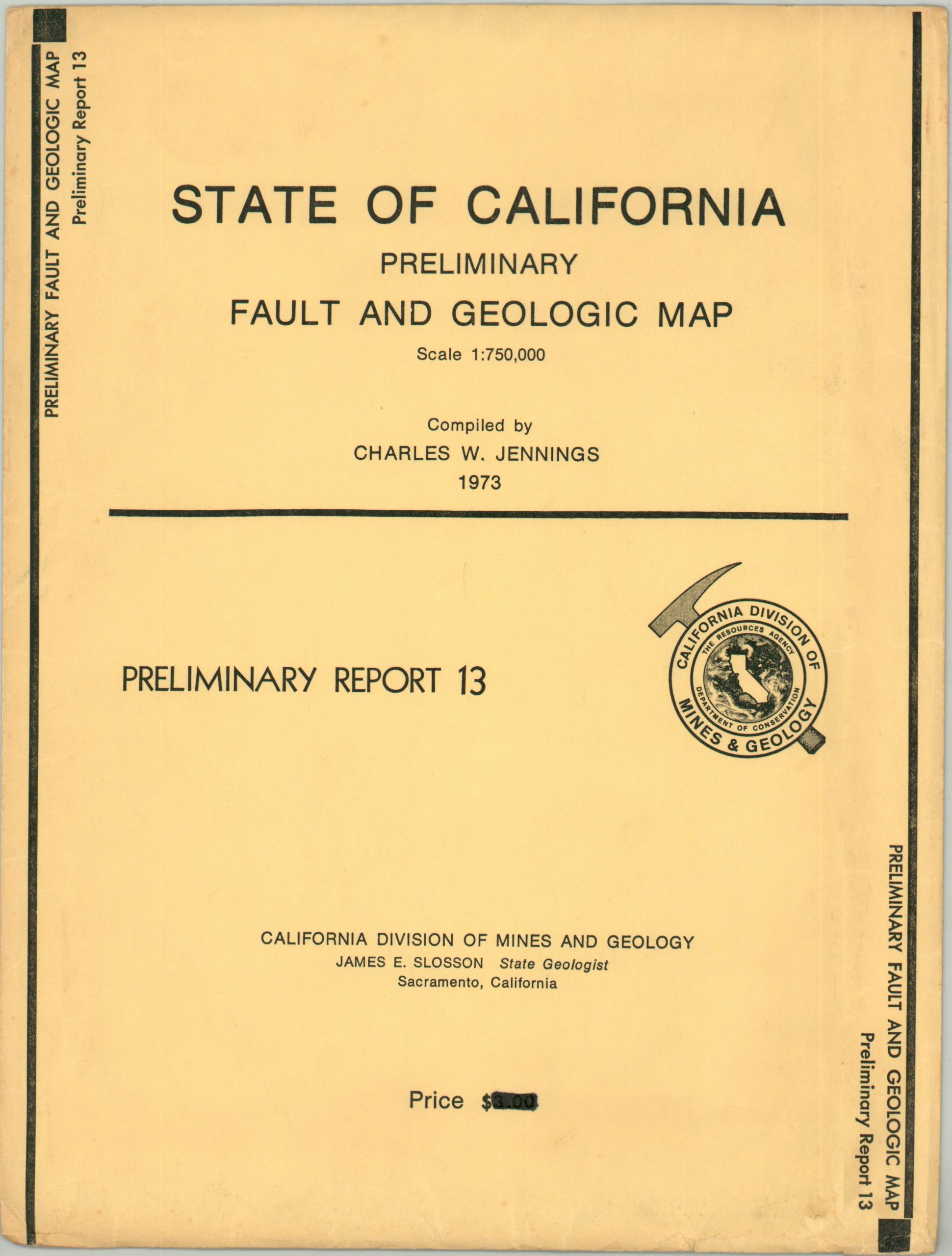
State of California Preliminary Fault and Geologic Map
$150.00
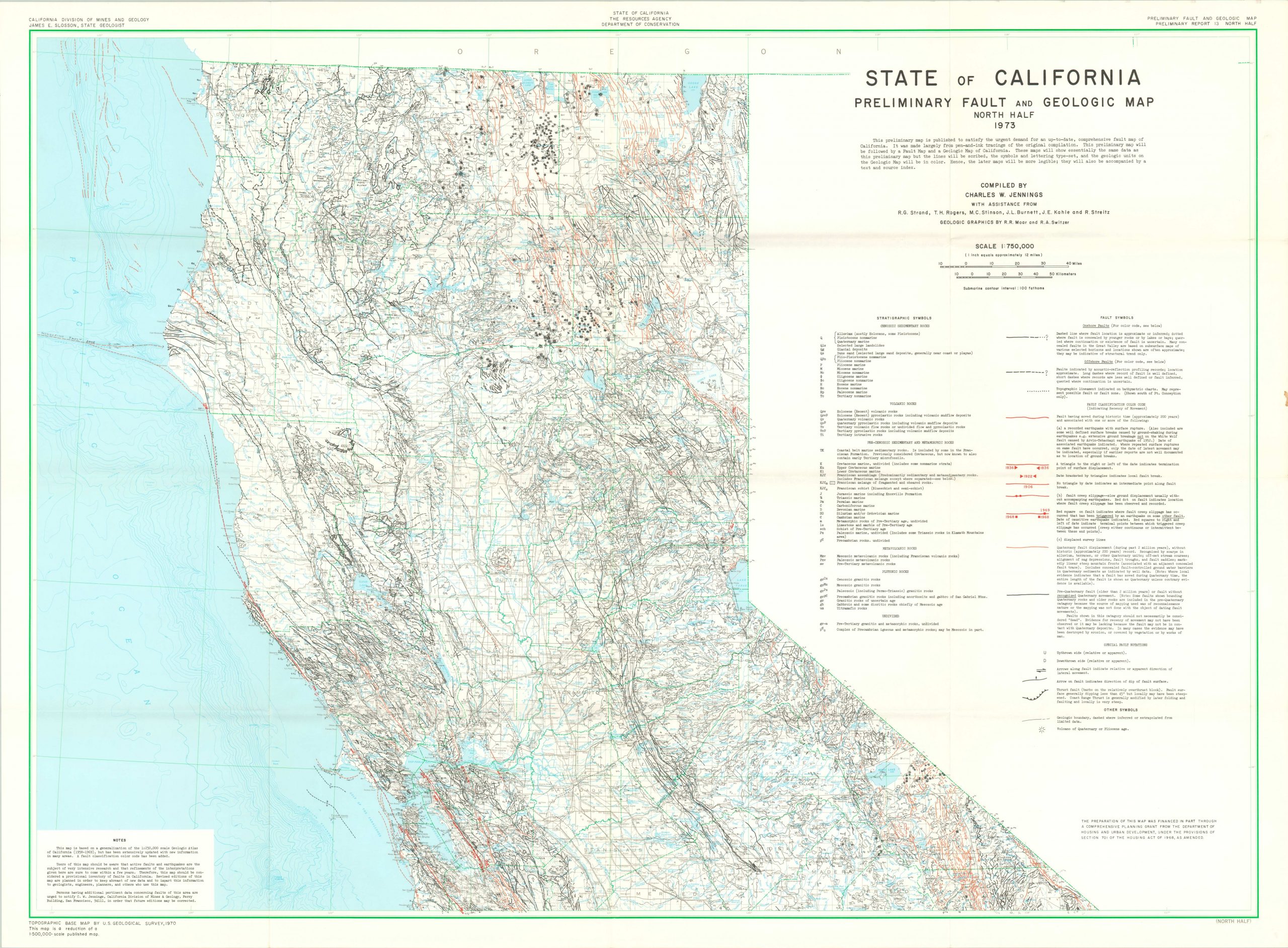
Massive two sheet geologic map of California prepared for a statewide study on earthquakes.
1 in stock
Description
According to text under the title blocks, “this preliminary map is published to satisfy the urgent demand for an up-to-date, comprehensive fault map of California.” It continues to explain the production process, and assure the reader that “later maps will be more legible.”
One would hope, as the finely detailed image is a confusing mix of colorful fault lines, topographic contours, symbols and place names. The accompanying legend provides some clarification, but assumes the audience has a basic understanding of seismology.
The map was compiled by Charles W. Jennings in 1973 and published by the California Division of Mines and Geology under the Department of Conservation. It uses a base map issued by the U.S.G.S. in 1970.
Map Details
Publication Date: 1973
Author: Charles Jennings
Sheet Width (in): See Description
Sheet Height (in): See Description
Condition: A
Condition Description: Two sheets, each measuring 42.5" x 31.75" and with light creasing and faint wear along original fold lines. Near fine overall, and includes the original envelope.
$150.00
1 in stock